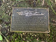
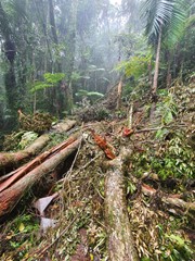
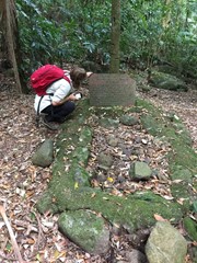
This walk takes you to the Stinson memorial crash site and the close-by Stinson remote bush camping site (no bush camping is allowed anywhere along the track, only with a permit in designated area). There is not much of the Stinson wreck left so I'd recommend doing this one sooner rather than later before it all goes under, there has been some serious treefall and landslide in the area in late 2020 and early 2021 due to heavy rains. The memorial area contains some plaques dedicated to those who lost their lives in the crash.
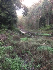
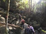
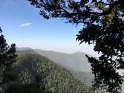
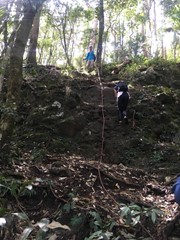
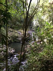
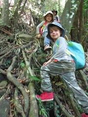
Aside from the wreck it is a lovely hike with diverse forest, land features and some easy unexposed rock scrambling/climbing although this could probably be avoided. There's even a bit of vine swinging to be done on the way back down if you're game.
It is a hard walk in rough terrain. The initial climb is very steep and fitness is key to completing the track in a decent time. It diverges off Westray's Grave track, just before reaching the grave, seeing the grave on the same walk is recommended (https://www.aussiebushwalking.com/qld/se-qld/lamington-np/westray-s-grave-from-christmas-creek).
Getting there
Follow Christmas Creek Road (south of Beaudesert, 1hr from Brisbane) almost all the way to the end. The end of the road becomes narrow and unsealed so drive carefully, it is accessible for a 2WD (in the dry at least). After the first concrete causeway/bridge there is a signed car park (with a limit of 10 vehicles). There is some Telstra mobile reception at the car park.
Maps
QTopo PDF (1:25000) ~15MB
Route/Trail notes
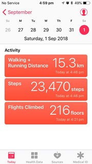
Very long and gruelling climb after Westray's Grave. Assume it will take all day so start early, if you are slow you may want to consider camping overnight (see permits/costs). If you are physically and mentally fit then 6 hours return from car park is a safe estimate.
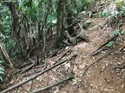
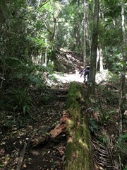
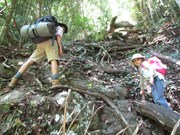
The initial couple hundred metres of elevation are the steepest, expect to be almost climbing on all fours the whole way, walking poles would do well here. Plenty of roots/trees to grab on the way up, it is NOT recommended to do this in the wet.
The track then continues to climb quite steeply for another hundred or so metres (not on-all-fours steep) until reaching some passable rocky outcrops. This will then bring you up to the base of a plateau. There is some hiking tape here, but the general route is to head down the South side (right) of the plateau, then follow the track, walking around the base until the path heads the opposite direction and up through a break in the rock wall. At the top of this path is some climbing rope attached to a tree to assist you in climbing up some steep rock scramble.
After this, it is a straightforward, fairly steep walk along the path on the ridge until the campsite, at which point the short track to the wreck is on the North (left) side of the campsite.
The track to the wreck is steep downhill and fairly obvious. At one point there is some rope string between trees to guide you laterally along the slope, where soon after you arrive at the crash site.
After retracing steps to the campsite, there are a few options for return:
- Retrace route back down to Westray's Grave and back to Christmas Creek.
- Continue along the Stinson track towards point lookout, and take the much longer and less obvious Stretcher Track back to Gap Creek Road which then links up with Christmas Creek Rd a few kilometres before the carpark at Stinson Memorial Park.
- Continue onto point lookout and take the unmarked trail from that campsite which joins the Border Track at Green Mountains.
Permits/Costs
Stinson Remote Bush Camp (book online) $6.75/pp/night (May 2021)
Other References
https://www.christmascreek.net.au/bush-walking
https://parks.des.qld.gov.au/parks/lamington/camping/stinson-remote



 Stinson Wreck from CCreek (GPX)
 15
15 8
8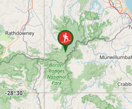
Comments