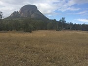
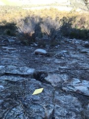
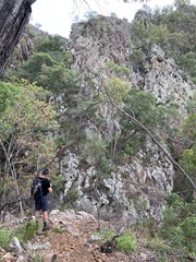
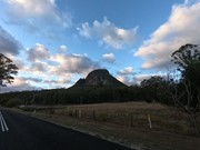
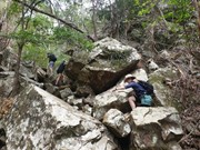
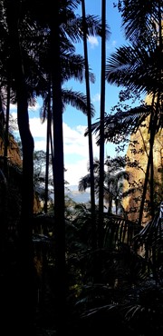
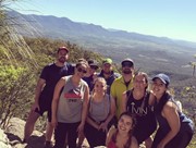
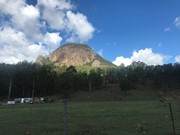
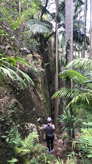
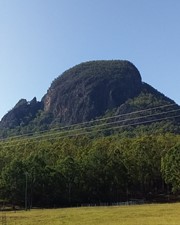
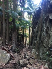
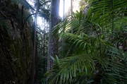
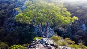
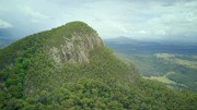
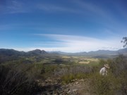
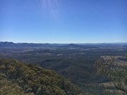
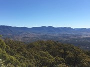
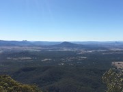
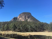
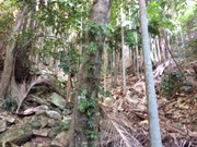
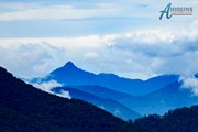
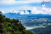
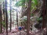
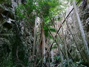
A walk up to the top of Mt Greville circa 770m. Up the waterfall gorge, then visit viewing platform rock slab near top of waterfall gorge. Alternatively, ascend via SE Ridge. Continue to summit then return via Palm Gorge.

Waterfalls
Lookouts
Bird Watching
Scrambling or Climbing
Navigation Required
No Dogs Permitted
Eucalypt Forest
767m
Maximum Elevation
610m
Total Climb

Getting there

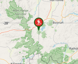
 From Aratula drive towards Cunningham's Gap and turn off at the Spicers Gap Rd. Follow this road for about 8 km( it does become dirt for a while) then turn into Mt Greville Rd find the start after about 800m driving or so along Mt Greville Rd.

Maps

Sun maps Mt Edwards

Route/Trail notes

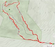
From the gate walk uphill to the sign posts about 400m, there are three alternatives Waterfall Gorge, South East Ridge and Palm Gorge. This walk goes up SE Ridge and comes down Palm Gorge.

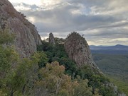
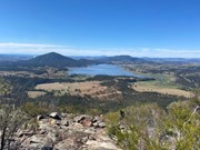
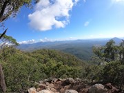
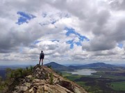
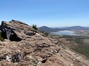
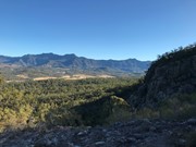
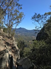
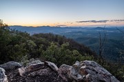
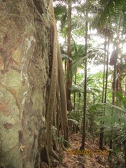
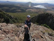
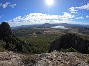
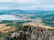
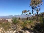
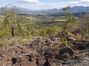
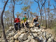
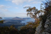
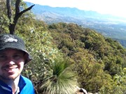
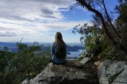
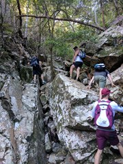
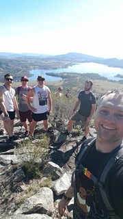
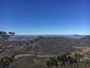
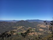
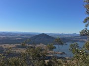
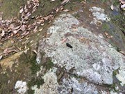
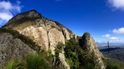
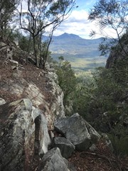
Follow the rough track up SE ridge lots of scree at the bottom and a few cairns on the way up. There are some rocky slabs to scramble on and through and if you lose the rough trail then keep heading up through the grass trees. Eventually you will come to a second wide rocky slab with great views of the southern Fassifern valley and the southern Mountains of the Main Range, Mt Ballow, Mt Barney, Mt Edwards, Mt Moon, Mt Maroon and Moogerah Dam. There is a lower rocky slab with the same view. Keep tracking up to the left through the Grass Trees till you enter forest again near another cairn note a well trevelled footpath that descends into Palm Gorge, it is about 30m up from the cairn for easier access. Keep following the trail up hill to the summit where there are good views to the North and views of the Ramparts of The Main Range and Mistake and Little Liverpoool Mountains.

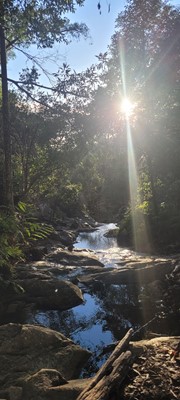
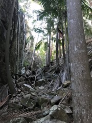
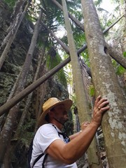
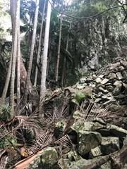
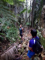
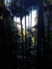
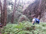
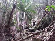
On the Descent look for a rough trail that heads up hill about 10 min from the summit. it leads to the head of a steep rocky Gorge that has a stunning view of Spicers Peak framed in its middle. About 10 min again from here locate the cairn and footpad that descends into Palm Gorge. Just keep following this down and take your time. There are loose rocks and slippery palm fronds on the ground but is well worth it. Pictures are necessary just to prove how beautiful this place is. Follow the rough footpad all the way back to the signposts and turn downhill to the carpark.

Altenate walks can include going up Waterfall Gorge and Traversing to the start of Palm Gorge across the Rock slab very enjoyable after summitting!

Permits/Costs

There is no camping in the Park.

Other References

Take A walk in the Sout East Queensland ; Chapman.

Comments

This was a great climb/hike. Went up waterfall Gorge and came down via the SE Ridge Track. It was 9.1km return and took us 4Hrs (with a few rests). Waterfall Gorge was amazing and we would love to scramble up this again but try going down Palm Tree Gorge next time.

BeckNWood on 1 Jul, 2017

A great challenging walk with some scrambling sections. The trail was simple to follow on the way up but on the decent we followed the alternative way down, lost the trail at one point and had to search around for half an hour or so to get back onto the right track.

Tim on 26 Jun, 2017

A superb half day walk with great landscape diversity and views up Waterfall Gorge and return via the ridge track.
Zero time: departed carpark for Waterfall Gorge route
1.15: arrived top of Waterfall Gorge
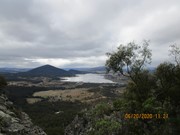
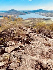
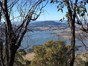
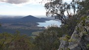
1.25: arrived rock outcrop lookout (with amazing views over Lake Moogerah and scenic rock bluffs)
1.35: departed lookout
2.05: arrived at track junction (main track coming up from Palm Gorge and ridge trail)
2.10: arrived at summit (to the left and right of the rock cairn are good places to sit and admire views in different directions)
2.35: departed summit
3.05: arrived at branch track to Palm Gorge/Ridge walk
4.10: arrived at car park
A few additional notes:
The walk involves a bit of scrambling, there is limited signage and the trail becomes faint at times.
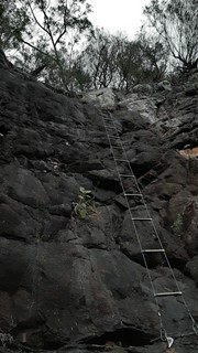
About half way up Waterfall Gorge there is a small (dry) waterfall. The first time I did this walk I climbed up the RHS using a tree route growing beside the rock, then climbed up another slightly tricky smooth rock section. To avoid this climb, there is an easy path around the falls on the left.
Just prior (maybe 50 meters) to arriving at the first lookout above Waterfall Gorge, a faint trail splits off to the left. This is the route to take for the main summit. Follow the small trail up to the nearby main mountain cliff base, turn left, and follow a faint trail hugging the cliff base around until you rejoin the main trail just below the summit.
We met a lady walking alone up the ridge trail who thought she was doing the walk for a second time, but doing a different route this time. The first time she did the walk she said she departed from the Lake Moogerah dam wall. We let her know that was actually Mt Edwards :)

Wig on 6 May, 2017

Went up SE ridge track and down Palm Gorge, very nice views on the bald rock faces of the SE ridge tracks and the scramble down the Gorge was outstanding. Despite some comments about a fading track, it would be hard to get lost as the track in these two parts is easy to follow. Took about 3 hours.

Laurie Bristow on 1 May, 2017

Great walk. Up via the ridge track and down via palm gorge. Straight forward trip but take your time on the descent. Fantastic views all along the trail. Just over 2.5 hours

Kevin on 24 Apr, 2017

Completed in dead hot summer weather and an instant regret. Needed lots of water and even a towell for all the water we were losing through sweat. Started this hike going up Waterfall Gorge finding many snakes, leaches, spiders (too many to count), centipedes and ants. These creatures left us sketchy the whole way up. Once we got out of the gorge we made it to the first lookout point which had a stunning view of the dam. We then went to hike along to the top soon to realise the track dissapeared into nothing, this left us walking through spider webs, knocking down dead trees and crawling through bushes just to make it to the other side where the track met up to the summit, this was not enjoyable and definitely not reccomended. Views at the summit were also very nice and then there was an enjoyabl walk down through the Ridge walk. This hike in total took us 10 hours!! (no jokes) We were shocked at the other comments which labelled 3-4 hours walking.

Matt on 12 Jan, 2017

There are 3 different hiking trails to choose between, when you see the signs at the start it can be confusing as to how long the tracks are. There is not too much of a clear view from the peak BUT on the way down there is GLORIOUS views of Lake Moogerah!!!

Emmalea on 2017

Great walk!! Gorge walking going up was great!

Jo on 19 Nov, 2016

Great walk. Ascended SE Ridge - I lost the path for a while at approx 550m - keep left as per the route notes. Descended via palm gorge - stunning.

David on 19 Nov, 2016

Fantastic walk really enjoyed.

Lsnowsea on 30 Oct, 2016

Great walk up SE Ridge and down what we thought was Palm Gorge but i learnt later that we went left on way down so that was Waterfall Gorge, trip notes were no help we followed a cairn to a trail that lead down a gorge with Palm Trees, however towards the end we left with scrambling down 2 mini waterfalls and 1 very large sketchy decent down the last waterfall easily 10m high. If there was a trail out of this and back to the path it was well gone now with falling trees, so we used our GPS and followed the creek bed all the way to Mt Greville Road, however the last 250m was through thick Lantana Brush to the firetrail at start of trails. I guess what we can learn from this was don't trust others trip notes or even NPS yellow trail markers. I will try to create some KML files for these trails from what i managed to record. In Future i will take some trail tape and put a few more markers out there.

Gumby on 17 Jul, 2016

Went up Waterfall Gorge, stopped at the Northward facing lookout. From the lookout I followed a footpad to the summit which linked up with the main track very close to the summit. Thought I don't think this was the best way up by any means. Next time I would backtrack and walk straight across past the top of SE ridge and Palm Gorge and take the main track to the top. Was very dry so Waterfall Gorge was no problem though I understand it is sketchy when wet.

Dan456 on 24 May, 2016

Went up waterfall gorge, it is well signed at the start so easy to find.

Gorgeous place, fair bit of scrambling up the gorge but easy to manage if you take you time.

When we hit the top of the gorge went right to the rock slab with 180 degree views north over the lake and had morning tea.

summitted and back down SE ridge which got slippery when it rained a bit.

Fairly easy tho, like a small barney style walk.
gorges were amazing, haven't seen anything like it before.

onthax on 25 Apr, 2016

Followed the directions listed above and headed up SE Ridge and down via Palm Gorge. The tracks were fairly easy to follow. The walk up the ridge was incredible, had some of the best views of the range. Probably wouldn't come back down via Palm Gorge again, I'm too much of a klutz and the palm frond/chunky loose rock combo for the duration of the descent didn't work in my favour. The greenery of the gorge was stunning though. Whatever way you head, I'd recommend a pair of solid grippy shoes. Absolutely will return here.

mjorn_ on 23 Apr, 2016

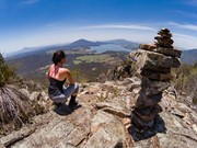
Up Palm Gorge and down SE Ridge. 80 min ascent, 65 min descent. Clouded in at the summit, but excellent views from the spur off SE Ridge on the way down. Someone has tried to turn the summit cairn into the Iron Throne!

Michael on 10 Apr, 2016

Went up Waterfall Gorge and down Southeast Ridge. Had very minimal directions for the gorge but it's pretty simple - follow the signs and obvious track which bears downhill for a short way before entering the gorge. Some really pretty water pools at the entrance. Follow the gorge up, it's narrow and the path is well worn so we had no need for navigation tools. The waterfall wasn't flowing but the rocks were wet and looked slippery, so rather than attempt a dangerous-looking scramble up we followed an easy track to the left of the 'falls' that avoided them altogether. At the top of the gorge, turn right and follow one of many paths leading to the lookout! It's only about five minutes from the top of the gorge and has amazing views. The wasp nest is still in its old place on southeast ridge (hanging off some vegetation to the right of the track in a scrubby area between open ridges). The ridge is a damn nice descent route, and it's made all the more pleasant in the cooler autumn weather.

Anonymous on 3 Apr, 2016

Great walk. However track is non-existent after the first few hundred meters of Palm Gorge, I ended up crossing over to the ridge trail much earlier than the tracks converged on OSM as I couldn't find the track. Ridge trail is brilliant and the views are fantastic, follow the arrows on the rocks and the cairns and you won't get lost, most of the ridge is well worn.

Murray Thomson on Apr, 2016

Did the walk up to the South East Ridge, then back down the same way. A bit wet from the rain the previous night so some slippery spots and some rock scrambling. Good views and lots of birdlife on the ridge.

Adam Higgins on 27 Mar, 2016

Very hard walk in 30+ degree temperatures!
Headed up the SE Ridge taking a slight detour out onto a spur that looks over the Waterfall Gorge track I presume.
Coming down the Palm Gorge track was difficult due to the number of trees down on the track but still doable with a bit of crawling and climbing!

Greg on 28 Feb, 2016

Followed Take A Walk's directions up Palm Gorge and down the SE Ridge. There was no boring part to the walk - the ascent and descent were just as good if not better than the summit itself! The route to the summit is well defined and there are fairly regular cairns down SE Ridge to mark the track. Make sure your shoes have good grip if you do the ridge, otherwise you'll be doing a fair chunk of it sliding along on your bum. A fantastic walk.

Anonymous on 8 Jan, 2016

Where
Click here to load this map.
Nearby Walks

Done this walk?

This walk has been ticked 330 times

Aussie Bushwalking can keep track of your bushwalks.

Login/signup to tick this walk off.

Tick walks to keep track of where you've been. You must Login to tick walks. Accounts are 100% free so sign up if you don't have one.