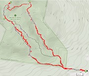
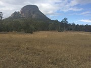
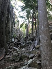
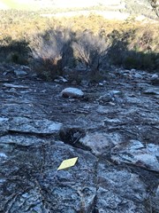
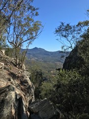
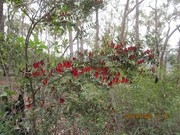
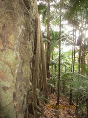
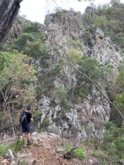
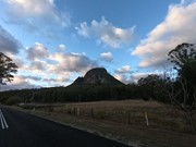
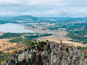
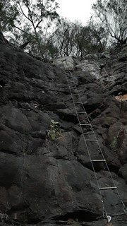
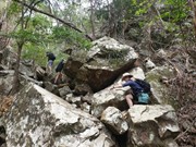
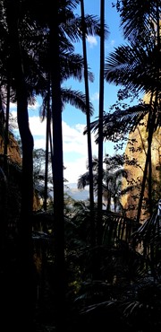
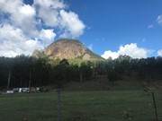
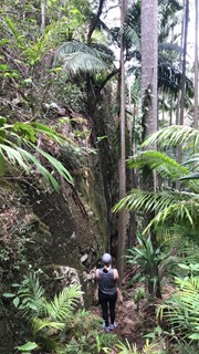
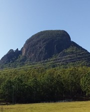
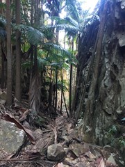
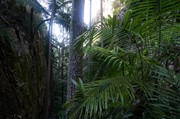
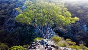
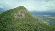
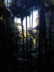
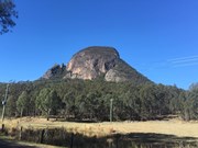
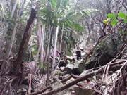
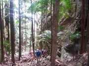
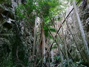
A walk up to the top of Mt Greville circa 770m. Up the waterfall gorge, then visit viewing platform rock slab near top of waterfall gorge. Alternatively, ascend via SE Ridge. Continue to summit then return via Palm Gorge.

Waterfalls
Lookouts
Bird Watching
Scrambling or Climbing
Navigation Required
No Dogs Permitted
Eucalypt Forest
767m
Maximum Elevation
610m
Total Climb

Getting there

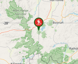
 From Aratula drive towards Cunningham's Gap and turn off at the Spicers Gap Rd. Follow this road for about 8 km( it does become dirt for a while) then turn into Mt Greville Rd find the start after about 800m driving or so along Mt Greville Rd.

Maps

Sun maps Mt Edwards

Route/Trail notes

From the gate walk uphill to the sign posts about 400m, there are three alternatives Waterfall Gorge, South East Ridge and Palm Gorge. This walk goes up SE Ridge and comes down Palm Gorge.

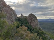
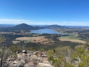
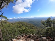
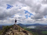
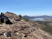
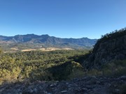
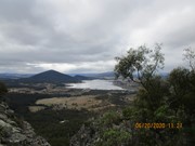
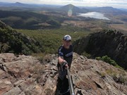
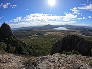
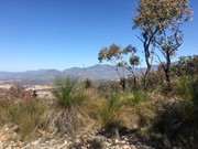
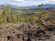
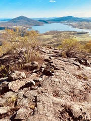
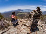
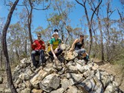
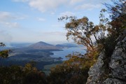
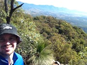
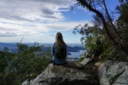
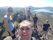
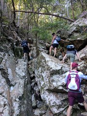
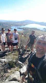
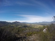
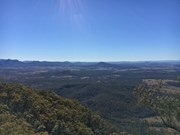
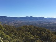
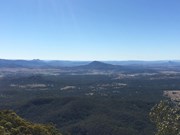
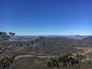
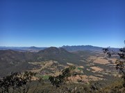
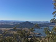
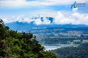
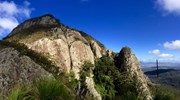
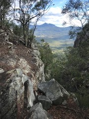
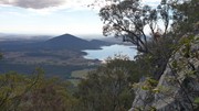
Follow the rough track up SE ridge lots of scree at the bottom and a few cairns on the way up. There are some rocky slabs to scramble on and through and if you lose the rough trail then keep heading up through the grass trees. Eventually you will come to a second wide rocky slab with great views of the southern Fassifern valley and the southern Mountains of the Main Range, Mt Ballow, Mt Barney, Mt Edwards, Mt Moon, Mt Maroon and Moogerah Dam. There is a lower rocky slab with the same view. Keep tracking up to the left through the Grass Trees till you enter forest again near another cairn note a well trevelled footpath that descends into Palm Gorge, it is about 30m up from the cairn for easier access. Keep following the trail up hill to the summit where there are good views to the North and views of the Ramparts of The Main Range and Mistake and Little Liverpoool Mountains.

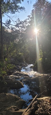
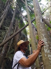
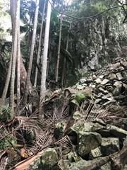
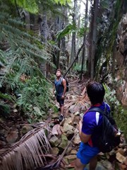
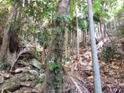
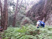
On the Descent look for a rough trail that heads up hill about 10 min from the summit. it leads to the head of a steep rocky Gorge that has a stunning view of Spicers Peak framed in its middle. About 10 min again from here locate the cairn and footpad that descends into Palm Gorge. Just keep following this down and take your time. There are loose rocks and slippery palm fronds on the ground but is well worth it. Pictures are necessary just to prove how beautiful this place is. Follow the rough footpad all the way back to the signposts and turn downhill to the carpark.

Altenate walks can include going up Waterfall Gorge and Traversing to the start of Palm Gorge across the Rock slab very enjoyable after summitting!

Permits/Costs

There is no camping in the Park.

Other References

Take A walk in the Sout East Queensland ; Chapman.

Comments

Having followed the ridge last time and descended through Palm Gorge was keen on giving Waterfall Gorge a go. Quite a bit of scrambling but not so difficult. Saw quoll sign, got roused on by peregrines on the cliff face and tangled with the odd orb weaver. Coming out of the gorge, chose to go right a bit to find a prominence with a great view of the east face and a good spot for morning tea.

Shorts on 17 Oct, 2015

Wonderful. Perfect day for it too, cloudy but dry. Went up Waterfall gorge and down Palm gorge, which is a bit easier to descend. Took about 5 hours with stops and large group. The terrain changes from fire trail in the beginning to rock hoping and scrambling. The two gorges also are quite different to each other. On the outside, large flat rocks slightly resembling Girraween (the gorge is like a miniature Carnavorn). Beautiful green tropical trees through the gorges and bushes on the outside. Care to be taken to follow the path through the Waterfall gorge. About an hour in it, there is a path on the left side which will continue through the forest just above the gorge and then comes back into the gorge. If you don't take this and go up the rocks be mindful of falling rocks.

agms on 23 Aug, 2015

First hike! Couple of breaks but made it!

smitsie on 12 Jul, 2015

Great walk up water fall gorge, need navigational skills to get to the summit.

kyles36 on 12 Jul, 2015

We went up the waterfall gorge and down the palm gorge. I love this walk the gorges are beautiful. The track starts fades away after the waterfall gorge but if keep following the bottom of massive cliff face around to the left it takes you to the summit.

Andy_cortina on 12 Jul, 2015

A shortish hike up Palm and down the ridge. Ridge views terrific. Summit crowded on a Sunday. Not for a couch potato!

Kaz on 28 Jun, 2015

Done with Rob Freney, after twice with BBW with Steve Cockburn's friend as lead and then Chris Hall as lead. I've also gone up since with Glenis, and another time, Judy. Gorges are amazing dark and cool with narrow sides. The ridge track is expansive with great views, with picnic rock above it, which also has excellent views. The summit is treed and has limited views. My favourite is up and down the ridge. I did that with the dude from Bundaberg bushwalking club.

Kaz Manley on 28 Jun, 2015

Walked up on Queens birthday holiday.
Perfect weather in the morning, started at 8am.
Went up through Palm Gorge, it was eerily silent and cold, but otherwise amazing place. It seemed everyone else was ascending via South East ridge.
Descended down South East ridge, went left instead of right at the guidance cairn on the rock slab, kept getting stopped by cliff edges. After 20 minutes of that headed back to the cairn and went right and quickly found the track down through the scree slopes.
If descending via SE Ridge, remember. Go right at the guidance cairn, not down or left.
A good, 3-4 hour round walk. Highly recommended and will be back to check out waterfall gorge!

dalehikes on 8 Jun, 2015

Great hike last weekend up the SE ridge and back down Palm Gorge. Except for the swarm of wasps we encountered on the way up, all was well. Basically stopped reading the trip notes as they seemed inaccurate when searching for the entrance to palm gorge. I wrote up my own trip report and added it to my blog anyone is interested. Happy hiking! http://www.theactivenomad.com/hiking-in-queensland-mt-greville/

AcNomad on 28 Mar, 2015

We went up Palm gorge and down the ridge which seemed like a great way to do it as going down the ridge felt like floating compared to pushing up a palm frond covered mountain with 11kg packs. Plenty of Eastern Browns and a bright green python looking snake I couldn’t identify. The view was a bit disappointing due to the large trees and scrubs at the top. All in all was good for pack training but not a ‘fun’ mountain in my opinion. Keen to head back to check out Waterfall Gorge but Palm gorge was just unpleasant (30 mins added just from snake/spider evasion). *shudders*

Alice on 14 Mar, 2015

Nice piece of solitude.
Up ridge, down Palm Gorge.
Beautiful.
Will go back again for waterfall

drewmac on 12 Oct, 2014

It was a while ago. A good fun climb to exercise all your leg muscles (and arms to use for a bit of scrambling). I chose waterfall gorge to go up and palm gorge to go down as another hiker recommended me just before i started this hike. Definitely hard and i think it took at least 5 hours with breaks.

Philos on 9 Aug, 2014

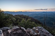
I've been up Greville a few times now via various routes. One item that is lacking in this description is the magnificent rocky slab that is accessed most easily via Waterfall Gorge. If you take the trail to the right of the top of Waterfall Gorge you will arc around and come to the slabs directly above the enormous cliffs on the North-East side of the mountain, overlooking Moogerah and Mount Edwards and looking toward the East coast. This is probably the most spectacular view on the mountain and not to be missed.

Most recently, a few of us took a walk up at midnight via South-East ridge to the cliff slabs and parked there until dawn. It was an amazing experience. I've attached a couple of photos.

Shaun Johnston on 2 Mar, 2014

What a climb ! We arrived at the Mt Greville Carpark just before 6am from Brisbane. We decided to check out the Waterfall Gorge first, which is indeed very beautiful. Once inside, you are deep in a canyon of incredible rock formations, and huge tree's.
We then re-traced our steps back to the start of the South East Ridge, and commenced climbing Mt Greville. There are loose rocks virtually all the way, so be careful where you place your feet. You arrive at a few clear rock area's, which offer incredible view's towards Mt Barney, Mt Superbus, etc .. and also Moogerah Dam.
Continuing on from this point, the track takes you through a seemingly endless Grasstree area, and by now your legs will possibly be feeling very worked.
The summit is a welcome sight with a large rock cairn signalling the absolute top of Mt Greville. There is a decent clear area to grab photo's of the Northern View ( Towards Cunningham Highway ), and another facing a southerly direction. The top is largely covered with tree's limiting most other view's.
Our intention was to descend via Palm Gorge, but our legs were mighty tired, so will save that for another day.
Mt Greville is a grueling climb, however I am very glad I can tick this one off, as the view's, and photo's I now have made it very worthwhile.

DrummerJeff on 27 Jan, 2014

Absolutely stunning coming back down palm Gorge.

Toth on 21 Jul, 2013

My favorite mountain so far! Different route on the way up to the way down and some really sheer cliff edges. Great walk and pretty hard on the legs.

jadee on 12 Jun, 2013

Must have been crazy to attempt this without any trail notes and on my own - lucky to get down safe

Cookie on 9 Apr, 2013

This is probably the hardest walk we have ever done. We started going up palm gorge, but not sure if we climbed where we should have. The scree was really hard to climb up, and dangerous. We got lost trying to find a different way down, but ended up taking a much easier route. We had no intention of climbing down that scree slope. Feels good to have completed it though.

Ian and Sue on 19 Oct, 2012

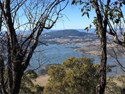
This is certainly not a walk in the park, we climbed up the (well marked) SE ridge trail to the Summit, the decended down the (at first) not so well marked Waterfall gorge track, half way down we were greeted with outstanding clear views of Lake Moogorah and surrounds.. next was the lengthy decent through the amazing Waterfall Gorge. This is certainly a walk not to be missed if you are in the Boonah area.. loved it

Anthony & Stephanie on 3 Oct, 2012

Where
Click here to load this map.
Nearby Walks

Done this walk?

This walk has been ticked 330 times

Aussie Bushwalking can keep track of your bushwalks.

Login/signup to tick this walk off.

Tick walks to keep track of where you've been. You must Login to tick walks. Accounts are 100% free so sign up if you don't have one.