- Mt Barney - East Peak - Up South-East - Down South (Mt Barney National Park)
- Mt Barney East Peak - South-East Ridge up and South Ridge down (Mt Barney National Park)
- Mt Barney - East Peak - Up Logan's - Down South (Mt Barney National Park)
- Mt Barney via Gorge and down Peasants Ridge (Mt Barney National Park)
- Mt Barney via Logans Ridge and return via Gorge (Mt Barney National Park)
South Ridge is the easiest track up Mt Barney (but it's NOT easy!). Sometimes referred to as Peasants' Ridge (a dig that only Peasants would take such a boring route up the mountain), South Ridge is an excellent choice for a first ascent of Barney. The track has triangular trail markers but there are still opportunities for navigational difficulties if you're inexperienced.
You MUST start early in the day. Expected time is 8-10 hours with almost 1200m of climbing from the carpark. Make sure to leave early to allow time for any mishaps and be prepared to turn back if necessary.
Getting there
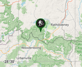
The walk starts from the Yellow Pinch carpark. From the Mount Lindesay Highway travel through Rathdowney and turn right on to the Boonah-Rathdowney Road. Turn left 8km later onto Barney View-Upper Logan Road. Follow the signs past Bigriggen, Flanagans Reserve and the Lower Portals turn off to Yellow Pinch at the end of this road.
Maps
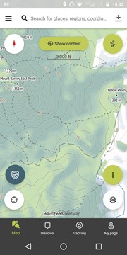
Topographical maps can be generated from the government's QTopo website: http://qtopo.dnrm.qld.gov.au/Mobile/
Route/Trail notes
Start on the track up and over Yellow Pinch from the end of the carpark. This short but steep climb will give you a bit of a taste of what is to come. Halfway up Yellow Pinch there is a gate on your left. Follow the fire trail through this gate.
After approximately an hour's walk along this trail you will reach a signed fork. This is the start of the South Ridge. Take note of the picture of the triangular trail markers you will follow later on the track. Follow the right fork to begin your climb.
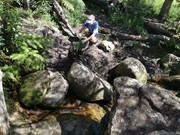
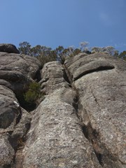
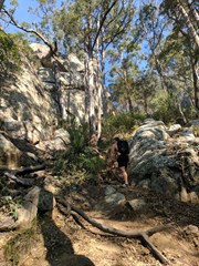
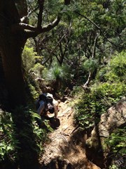
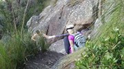
The track is well defined for quite a way past this fork. Eventually you'll reach some scrambling areas. Keep an eye out for the triangular route markers and make sure to look back regularly to help with the return navigation. There are two rock sections that stand out: one a large slightly exposed slab with a crack running through it, and the other, a narrow staircase.
The South Ridge ends at a knoll, which means you'll actually descend into the saddle between the East and West Peaks. After traversing this knoll you'll enter the Rum Jungle. Depending on speed, the climb so far will take 3-4 hours. This is a great place for a rest, or continue on a few minutes to the Old Hut campground (just over the creek). You can top up your water in the creek if it is running.
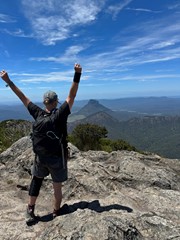
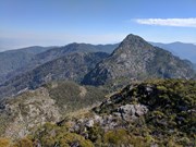
There are no distinct tracks up to the East Peak, general advice is to go up! Make sure to look back early in your climb to identify the Old Hut site. You'll want to aim for this on your return journey. After a few false summits you'll reach the peak. Expect this to take 5-6 hours from leaving the carpark.
During the return be careful to retrace your steps. Remember when you come out of the Rum Jungle you need to climb over a knoll before starting your descent. A fork at the start of this knoll heads immediately downhill but this track will take you via Egan Creek, a much tougher route. Keep an eye our for the route markers to confirm you're on track.
Permits/Costs
Climbing the mountain is free. There are costs for using either of the campgrounds in the East-West saddle.
Other References
TODO: List some guidebooks
Where



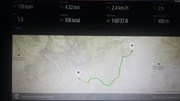
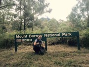
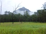

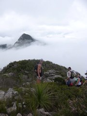

 Barney East Peak: Ascend Logans Ridge, Descend South East Ridge (GPX)
 17
17 10
10
Comments