- Mt Barney via Gorge and down Peasants Ridge (Mt Barney National Park)
- Mt Barney - East Peak - Up Logan's - Down South (Mt Barney National Park)
- Mt Barney - East Peak - Up South-East - Down South (Mt Barney National Park)
- Mt Barney - East Peak - South Ridge (Mt Barney National Park)
- Mt Barney East Peak - South-East Ridge up and South Ridge down (Mt Barney National Park)
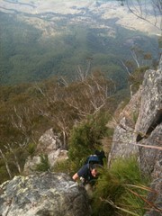
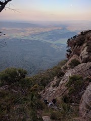
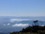
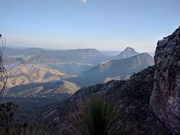
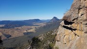
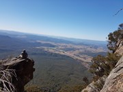
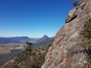
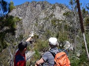
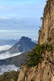
The climb up Logan's Ridge is challenging but offers superb views on a clear day. The first recorded climb was undertaken by Captain Patrick Logan, Charles Fraser and Allan Cunningham in 1828. The climb became too difficult for Fraser and Cunningham who turned back leaving Logan to climb on alone. This ascent should not be attempted unless you are an experienced rock scrambler and have a head for heights. Any climb too difficult for Allan Cunningham deserves respect.
Getting There
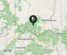
How do you get to the start of the walk? From Brisbane travel along Mt Lindsey Highway past Beaudesert and 1km beyond Rathdowney. Turn right into Boonah - Rathdowney Rd. Travel for seven kilometres to Barney View -Upper Logan Road turn off. Turn left and travel for 11.7km to the Yellow Pinch picnic ground. There is no camping at Yellow Pinch Picnic Ground. Camping is available at Mt Barney Lodge as are homesteads and cabins.
Maps
Which maps cover the area? Mt Lindesay Topographic 1:25 000 scale.
Route/Trail notes
A detailed description of the walk! Leave carpark and return 600m along Upper Logan Rd to Barney Lodge turnoff. Head west across the grassy paddock to an old gravel logging road and follow it southwest and west uphill to a gate. Continue west then north west along the road following the crest of a ridge. Head through a second gate and continue downhill to a third gate and the national park boundary. The road continues uphill in a westerly direction and narrows to a footpad. Continue uphill following this footpad to the base of Logans Ridge. From here it is a matter matter of following the path of least resistance all the way to the summit of East Peak. Don't be afraid to retreat and try a different route if the going gets too tough.
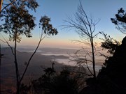
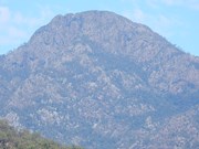
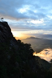
Once reaching the summit soak in the views (if you are not covered in cloud) before making your way down to Barney Saddle. It is now a simple matter of following the creek down the gorge until reaching Mt Barney Creek at the bottom of the gorge. This gorge is extremely rugged in places and requires detours around sheer waterfalls.
Upon reaching Mt Barney Creek follow downstream to just above the Lower Portals before striking uphill on the left hand side (north) to the top of the ridgeline following an obvious foot track. At the top there is a crossroad. Continue straight ahead and downhill to join the Lower Portals track just below the Lower Portals. This is a good spot for a swim on a hot day.
Follow this track downstream before crossing just above the Lower Portals campsite and make your way back to the lower Portals Carpark. Hopefully, you have organised a car shuttle and you have a car waiting for you or else it is a further 6km along the road to the Yellow Pinch carpark.
Permits/Costs
Do you need any permits? What's the cost? Nil unless camping
Other References
How can I find more info? Any guide books?
GPS Tracks
Where



 Logans Ridge (GPX)
 15
15 9
9
Comments