Menu
GPS Tracks
Decent walk through the State Forest. Network of trails to chose from to form a loop or simply return.
Getting there
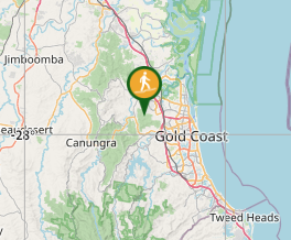
The National Park can be accessed from muiltlple locations from Nerang and Pacific Pines. Nerang side probably has more space for parking.
Look for Nerang Velodrome on Lawson Street. Trailhead access across the velodrome ringroad (give way to cyclists that may be training)
Maps
Most trailhead have a display map. Take a pic. All main intersections in the national park have a unique ID. Easy to navigate (if you have the pic of the map).
Route/Trail notes
Track Started from a residentail street, following what feels like a fire trail. Once reaching the state forest going clockwise goes straight to the summit. Nothing inparticular to see here. Continuing on you end up at a creek crossing and then going straight back to the car. Track is a shared path and moutain bikers are quite common (they have their own tracks going down, but typically follow the main trails going back up). Overall the track gets quite steep on quite loose rocks, so watch out after some rain.
Permits/Costs
Need a Permit to go 4WD
Other References
How can I find more info? Any guide books?


 Nerang State Forest Centre Loop (GPX)
 10.6
10.6 3
3
Comments