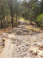
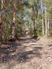
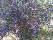
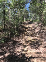
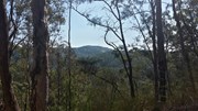
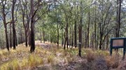
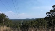
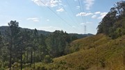
This multi-use recreation trail passes through dry sclerophyll forest and rainforest gullies and includes some views south to the Glass House Mountains from the top of the ridge (206m). Eucalypt forests and riparian areas with flooded gums, cabbage tree palms and rainforest plants feature here and provide habitats for a diversity of wildlife. Birdwatchers will enjoy the diversity of birds along the trail early and late in the day. Definitely take a copy of the map or a GPX file on GPS as lots of crossing tracks which can be confusing
Getting there:
From the Bruce Highway, take the Glasshouse Mountains Tourist Drive (aka Steve Irwin Way) turn off.
Continue along Steve Irwin Way until you reach Landsborough, for the southern entrance off Beech Road. (Latitude: -26.795340, Longitude: 152.965210). Southern Entrance to Dularcha National Park / Tunnel Trail
The northern entrance at Dorson Drive (Latitude: -26.771640, Longitude 152.963760), is off King Road in Mooloolah. Don't take Paget Street, as this no longer links with Dorson Drive. Northern Entrance to Dularcha National Park / Tunnel Trail
Maps:
Department of National Parks, Sport and Racing
Route/Trail notes:
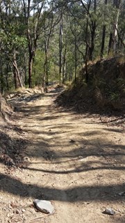
As the track is poorly marked, it is recommended you print off a copy of the map from the 'link' above. All the side tracks are marked as 'no horses', which gives you some clue to stay on the main track!
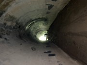
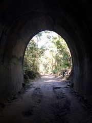
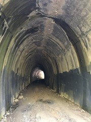
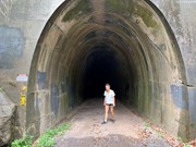
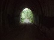
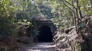
The track can be accessed from the north above the Tunnel. There is a horse track on the left of the tunnel up to it. From there, turn right and follow to the top of the ridge, past the first electricity pylons and turn left downhill at the second. From there, it is a steep decent to the junction of Gully Track, turning right back to the Tunnel Track, left again and back via the tunnel.
From the south, the track is signposted left about 1.2km along the Tunnel Track. Ignore the tracks to your left and right till you reach a fork junction. Turn left downhill before a steep accent to the top of the ridge where there is the electricity pylons. Turn right on the ridge, ignoring any tracks to your right, until you are above the tunnel and turn right down onto the Tunnel Track and back to your start.
Permits/Costs:
None
Other References/Comments:
The side track of Connection, Ridge, Gully and Myla have not been walked. They are noted as not suitable for horse, so could be pretty rough. They do however all lead back to the Roses Circuit.
Additional comment; I've walked Myla and Gully Tracks, Myla is quite steep but I wouldn't call either "rough". I suspect horses are limited to the main track (Roses Circuit) to leave the cross tracks and side tracks for walkers and bikes.





 95 Roses Circuit (GPX)
 8.1
8.1 2.5
2.5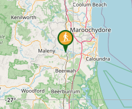
Comments