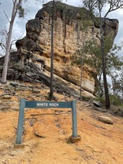
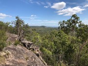
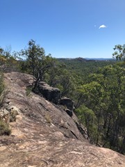
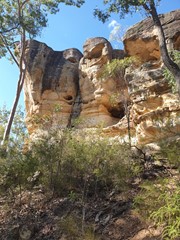
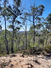
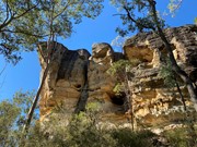
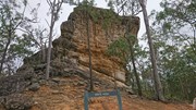
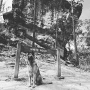
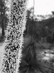
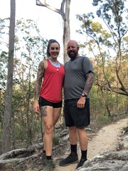
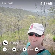
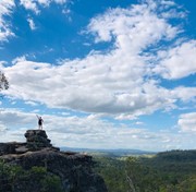
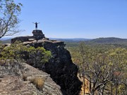
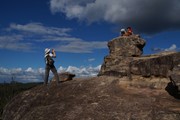
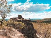
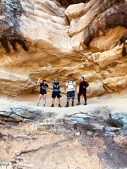
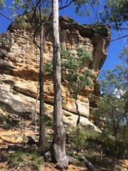
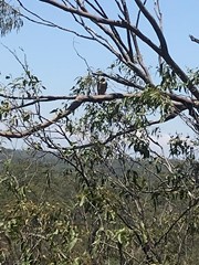
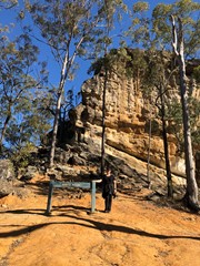
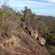
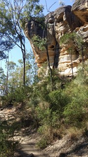
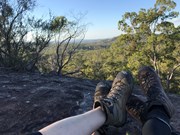
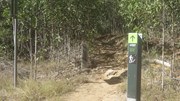
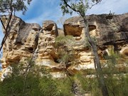
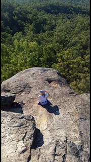
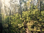
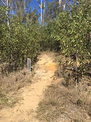
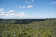
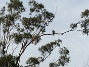
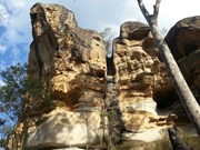
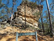
This is a moderate walk through eucalypt forest, with some rock scrambling sections, cliff-edge lookouts and limited signage. The wildlife is abundant and the scenery beautiful with large rocks and caves to explore. Take plenty of water.

Please respect the traditional custodians of the land, the Ugarapul people, and resist the temptation of climbing to the White Rock summit.

The Ridge Hike is officially listed as 'hard' due to the scrambling sections, but this walk is achievable for most adults or children with a moderate fitness level.

Lookouts
Bird Watching
Picnic Facilities
Toilets
Scrambling or Climbing
No Dogs Permitted
Eucalypt Forest
183m
Maximum Elevation
152m
Total Climb

Getting there

How do you get to the start of the walk?

From Paperbark Flats picnic area, follow the multi user trail about 1.2km until it cuts a haul road and turns left.  Signs direct you right for the multi-use trail.  Rather than turning, follow the road east for another 50 metres, and there is a small sign marking the start of the ridge hike on the right.

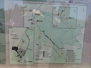
(Note that the map at the picnic area does not show the haul road, and would lead you to believe the ridge hike is directly off the multi use trail.  The map attached below gives a better idea)

Maps

Which maps cover the area?

https://www.ipswich.qld.gov.au/__data/assets/pdf_file/0011/24410/White-Rock-Spring-Mountain-Conservation-Park-Guide.pdf 

http://www.ipswich.qld.gov.au/documents/health/white_rock_spring_mountain_trails_guide.pdf

Route/Trail notes

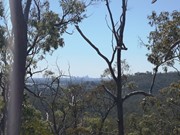
The track is obvious, but narrow and rough, and not well signed.  There are no trail markers after the first couple of hundred metres, which involves a moderate climb up onto the ridge.  Depending on the state of vegetation, there are views to the north all the way to Brisbane.  On reaching a rocky outcrop, White Rock can be seen across a col, but the track appears to peter out.  Casting around to the south reveals the last trail marker, directing you down a cleft leading down to the col.  The descent is relatively straightforward, but requires caution descending the cleft.  A few hundred metres easy walking to White Rock, where there are benches to rest and enjoy the peace and quiet.

The rock can be climbed with a little effort and no specialised equipment, via another (unsigned cleft) just to the east of the north face.  There are panoramic views in all directions from the summit (about 30 metres above the rest area)

Permits/Costs

Do you need any permits? What's the cost?

Access is free.  Hiking does not require a permit.  Gates open 6am to 6pm

Other References

How can I find more info? Any guide books?

Comments

Hit the trail early at 6.00, and completed the walk in just under 90 mins. We did this early to avoid the heat, which we did. It was just starting to heat up when we finished the walk. We took the multi use trail going out and went up around the back of White Rock . This makes the walk about 1 klm longer than sign posted. Enjoyable and convenient for us to do.

Brian on 24 Oct, 2020

Much nicer alternative to the multi use trail. Much more clearer trail now than last time I did it a few years back, must be getting lots of use.

Simon Hazelgrove on 13 Sep, 2020

Beautiful views from beyond White Rock and up on the ridge trail. Worth the effort for the views and rich indigenous cultural significance. A very popular and very busy walk with limited parking so try weekdays for the best experience.

Ben C on 26 Jul, 2020

Just decided to do a local walk today to stretch the legs. Walked to the Bluff, and then Little White Rock and onto the ridge trail to White Rock. Very enjoyable and a little over 7.5K.

Brian on 4 Jul, 2020

Beautiful beginners hike, with some rock scrambling

Ang on 6 Jun, 2020

Nice walk, not overly challenging but gets you puffing a little on the way up. Nice quick little hike, took about 90 mins for us. We went up via this path and came back via the multi-trail which is a lot more flat and straight. This trail is much more like a bush walk (although the path is defined enough so you won’t get lost). Recommend doing it in the morning or a cloudy day though, not a lot of tree cover so it could get hot.

Kristy on 31 May, 2020

2.05hrs, 8km full circuit.

Ivy on 30 May, 2020

Great walk, beautiful day... not too strenuous, good views of Brisbane. Would not want to do on too hot a day.

Desertpea on 24 May, 2020

Lovely walk, not too far away, nice views.

Desertpea on 24 May, 2020

Long walk before incline of rock take the ridge walk much more Challenging the scrambling was hairy with a 5 and 6 year old but doable

Allan Lamberth on 24 May, 2020

First walk since the restrictions have been lifted. Many other people doing the same thins, as there were people everywhere. Still enjoyable to finally stretch the legs after 8 weeks of lock down.

Brian on 23 May, 2020

Lovely little hike, beautiful views and fun scrambles. Took our 6 and 8 year old who found it most enjoyable, some tricky bits near the caves for them but they managed very well for their first go.

Will Walk For Food on 23 May, 2020

Medium hike, enough to get the heart pumping though! Very pretty hike especially when you are walking on the ridge. Take plenty of water

Tanya on 13 Apr, 2020

Interesting network of tracks. Take a pic of the map.

Wanderlust on 17 Mar, 2020

Glad to have done it early morning very hot, make sure you take water.rook 1hr 55mins with a few breathers on the way.

Usher on 10 Jan, 2020

I really enjoy this little hike. Unfortunately now being located right next to an estate ALOT of people use the tracks. Can we challenging to find a quiet moment to relax and take it all in.

Tanya on Jan, 2020

Nice little morning walk with some good lookouts

Andrew.P on 10 Dec, 2019

A more interesting way to visit White Rock rather than taking the WRT. Lovely views and a bit more shade/breeze in warmer weather.
Can be a little confusing to find the trail head from the Paperbark picnic area as it's the only track not mentioned on the Six Mile Creek Track sign. Veer left where the WRT veers right and you'll find the sign for WRRT a little further along the fire trail on your right.
A straightforward walk with only one small rock scramble which is easier to navigate than actually getting to the top of White Rock itself. The view from the top of White Rock is nice. I really wish people wouldn't feel the need to carve their names into the rock face. Whatever happened to "Take only photos, leave only footprints".

Monstar on 5 Sep, 2019

Well worth a visit to White Rock! We did this with our 8 and 9 year olds and it was a great little hike for them. The highlight was definitely climbing up and exploring around White Rock. Views from the top are amazing.
We followed the multi-use track (the "Hikers Track") on the way there, which was hot and dusty and a little monotonous; and we took the Ridge Trail on the way back, which was thoroughly enjoyable and I'd highly recommend it. There's a little bit of rock scrambling required, although not difficult, and the track was easy to follow for the most part - just look for all the footprints in the dirt if you're unsure.
Definitely wouldn't want to tackle this walk during summer, as there is not a lot of shade and even at this time of year we found it really quite hot. Make sure you take plenty of water too. I'm not sure how people can do this walk without taking water with them - I was surprised at the number of people who didn't have any water with them.
Over all, a fantastic hike for the family and well worth it.

Sarah on 25 Aug, 2019

Surprisingly easy! Just remember to start early. We took this as our return route and the 10 AM sun was already pretty strong. Can't imagine doing this hike during the summer.

:) on 14 Jul, 2019

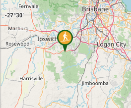
Where
Click here to load this map.
Nearby Walks

Done this walk?

This walk has been ticked 378 times

Aussie Bushwalking can keep track of your bushwalks.

Login/signup to tick this walk off.

Tick walks to keep track of where you've been. You must Login to tick walks. Accounts are 100% free so sign up if you don't have one.