
Menu
Popular Walks
-
Mt Walsh
(103 ticks) -
Barker Creek Circuit
(75 ticks) -
Carlo Sandblow
(66 ticks) -
Scenic Circuit
(61 ticks) -
Mount Kiangarow
(55 ticks)
Summary
From Gympie to Bundaberg. This region is known for...
Popular Walks
-
Mt Walsh
(103 ticks) -
Barker Creek Circuit
(75 ticks) -
Carlo Sandblow
(66 ticks) -
Scenic Circuit
(61 ticks) -
Mount Kiangarow
(55 ticks)
Parent Regions
Sub-Regions
History
Any interesting history for the region?
Features
What are the standout bushwalking features?
Access
How do you get there? Include all access points if there are many?
Maps
Which maps cover the region?
Accommodation
Where can I stay there? or near there?
Camping
Council Areas
- Gympie Regional
- South Burnett Regional
- North Burnett Regional
- Fraser Coast Regional
- Bundaberg Regional
Contact details
See QLD National Parks Website: ..
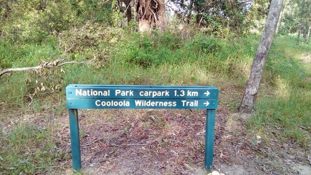
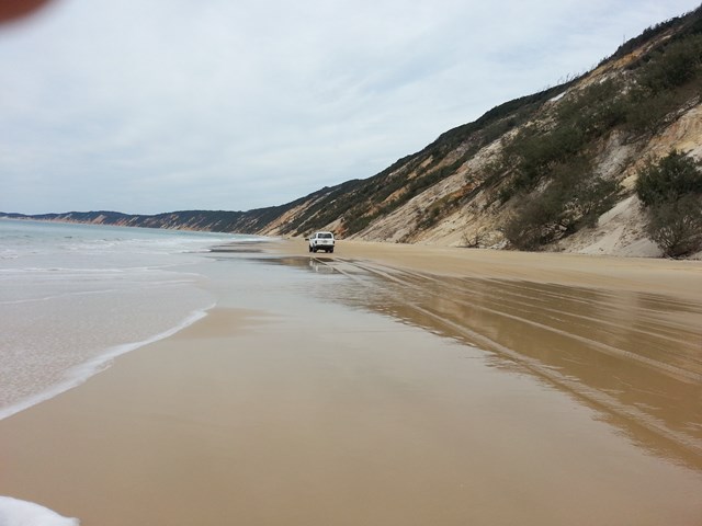
Walks in Great Sandy National Park

 400
m
return
400
m
return
 15
mins
15
mins
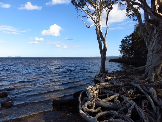
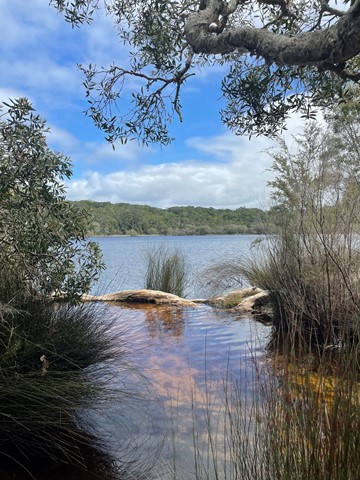
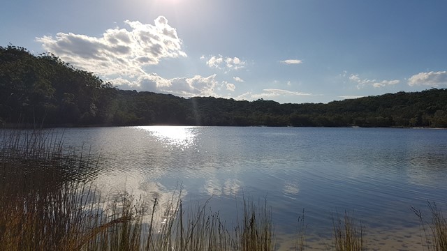
Melaleuca Circuit
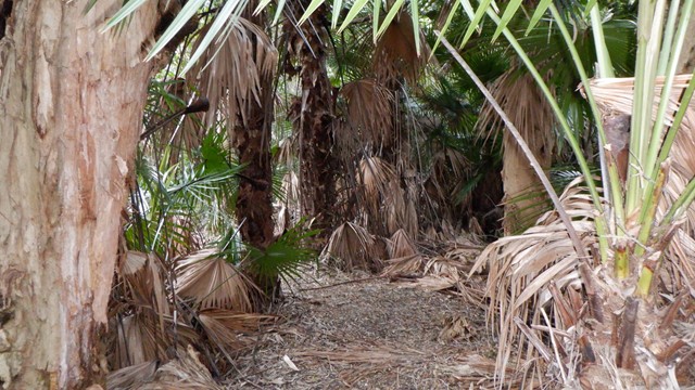
Delight in the wetlands of cabbage palms, paperbarks and eucalypt forests fringing the delta lakes of the upper Noosa River.
 5.3
km
return
90
mins
5.3
km
return
90
mins
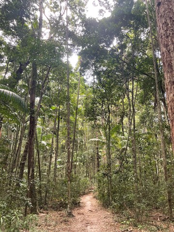
Mill Point
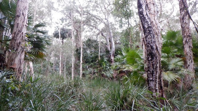
Walk through allocasuarina and paperbark forests. Take a 400m side track to Mill Point and follow the self-guided historical walk to the site of a timber mill township that flourished from 1872 to 1892.
 3.2
km
return
1
hr
3.2
km
return
1
hr
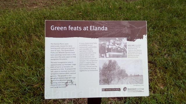
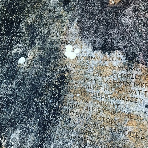
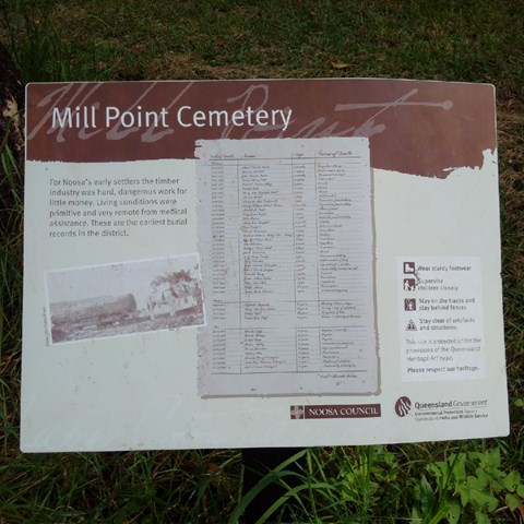
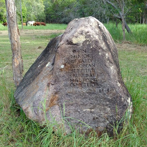
Mill Point Cemetery
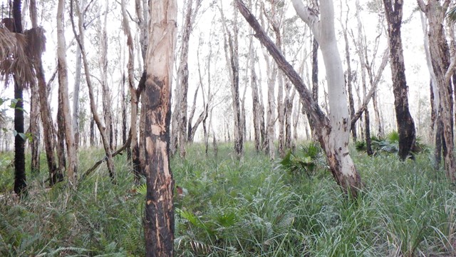
An easy flat walk through woodlands and along fire trails to a memorial in honour of the early Mill Point settlers.
 4
km
return
2
hrs
4
km
return
2
hrs
Pile Valley Circuit
Wander through magnificent stands of K'gari Satinay in lush rainforest, and discover the extraordinary tale of their survival and regeneration.
4.2
km
return
90
mins
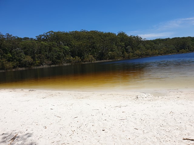
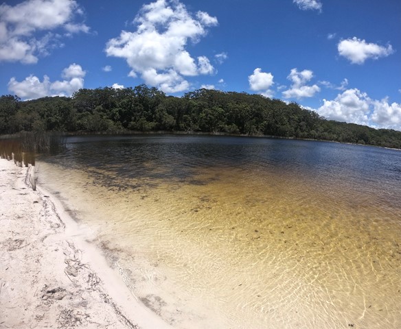
Poona Lake walk
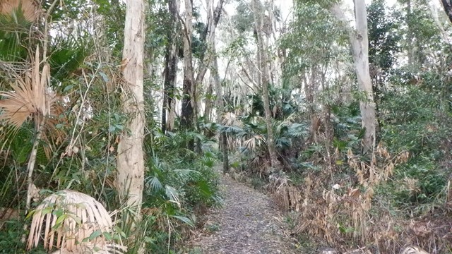
Easy walk through tall forest with kauri and hoop pines, piccabeen palms and strangler figs
 32
km
return
2
days
32
km
return
2
days
Rainbow Beach to Double Island and return by Lake Poona
A beach walk from rainbow Beach to Double Island Point then onto Freshwater Camp Ground and an inland bushwalk back to Rainbow Beach.
 6.4
km
return
2
hrs
6.4
km
return
2
hrs
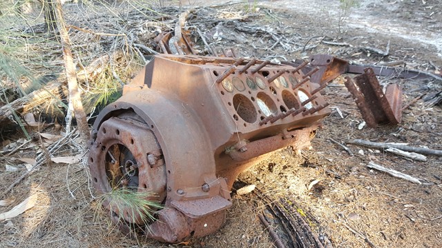
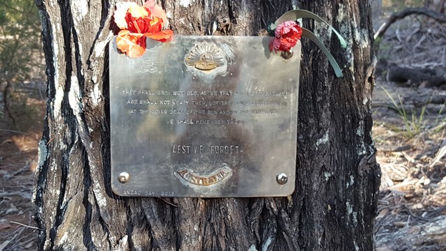
WW2 Commando School Walk
Z Special Unit was a joint Allied special forces unit formed during the Second World War to operate behind Japanese lines in South East Asia. Fraser Island was one of a number of training grounds for Australia's Special Operations programme during World War II.
Walks in Mount Walsh National Park
 4.2
km
return
3
hrs
4.2
km
return
3
hrs
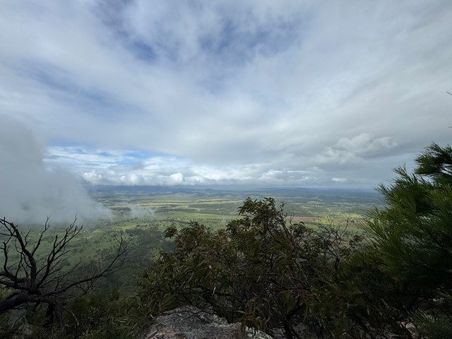
Coongara Rock
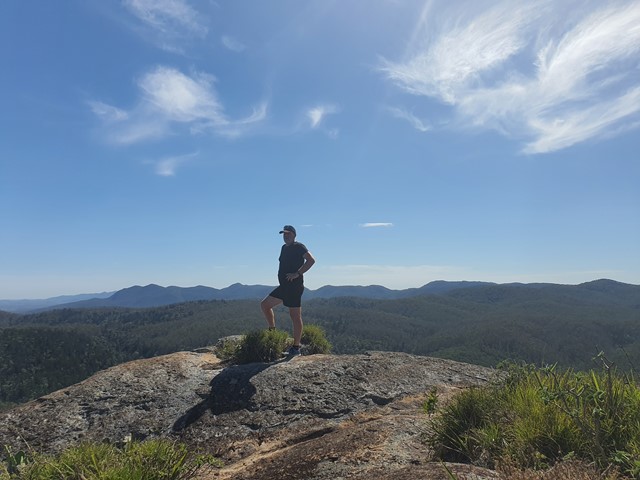
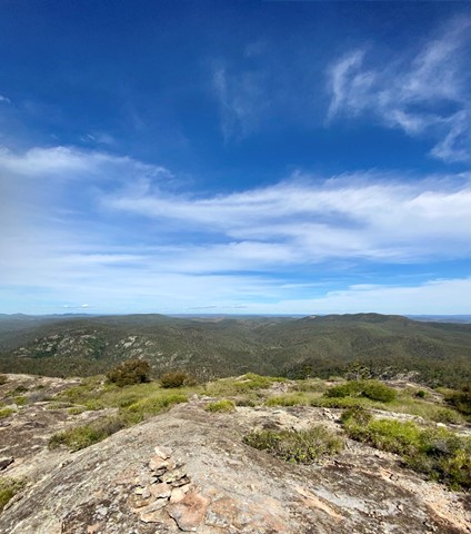
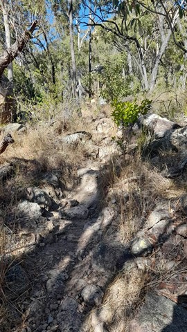
I have found this gem a challenging summit but only because the two times I have been up has been off-track. There is a track but I haven't been on it all the way. Awesome views of over Mt Walsh National Park and also west towards Coalstoun Lakes. Certainly some steep rocky sections and would not advise if wet or inexperienced.
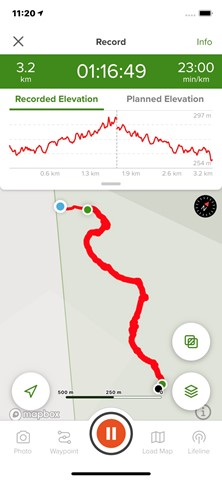
 4
km
return
3
hrs
4
km
return
3
hrs
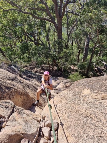
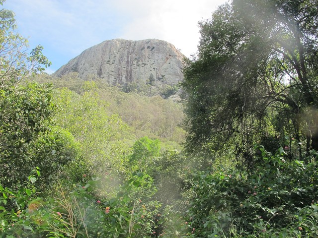
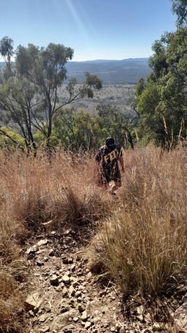
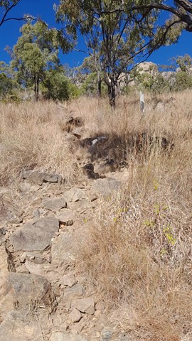
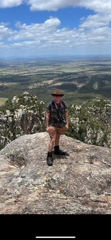
Mt Walsh
Fantastic views from the top of Mt Walsh. The climb can be difficult up at the last part. The trail is easy to follow if you have basic trail sense and is marked with flag tape and arrows painted onto rocks. No ropes are need but hand over hand climbing is required for the last part.