
Menu
Suggested searches
Your search found 2294 results...

 52
km
52
km
 2
days
2
days
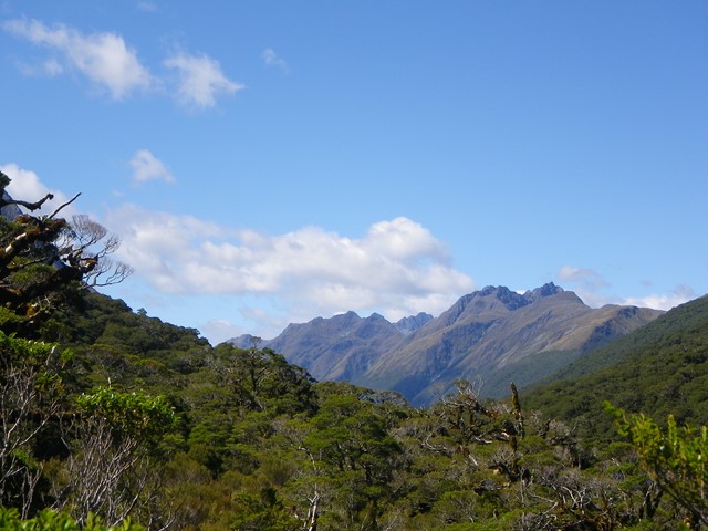
Cooloola Widerness Trail
Great Sandy National Park
An interesting longer walk that can be done in two full on days or easy three days.
55
km
return
3
days
Moreton Island Traverse
Moreton Island National Park
A long sand walk that starts at Bulwer in the North and finishes at reeders Point south of Kooringal. walking both on beach and inland trails.
 15
km
return
10
hrs
15
km
return
10
hrs
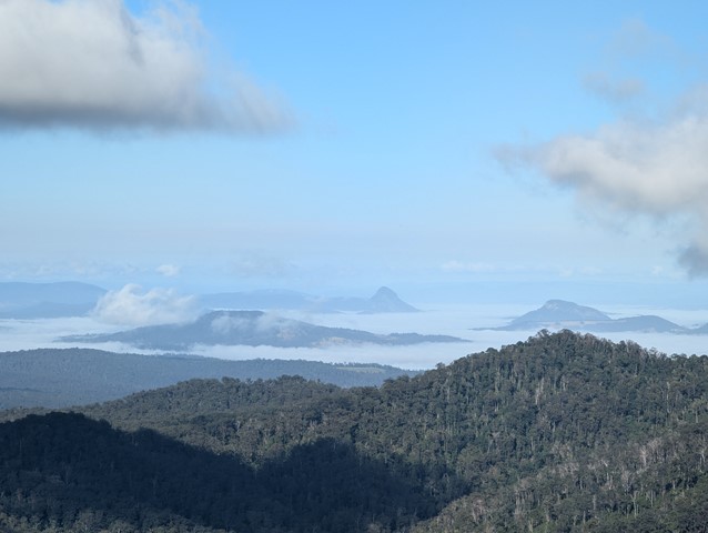
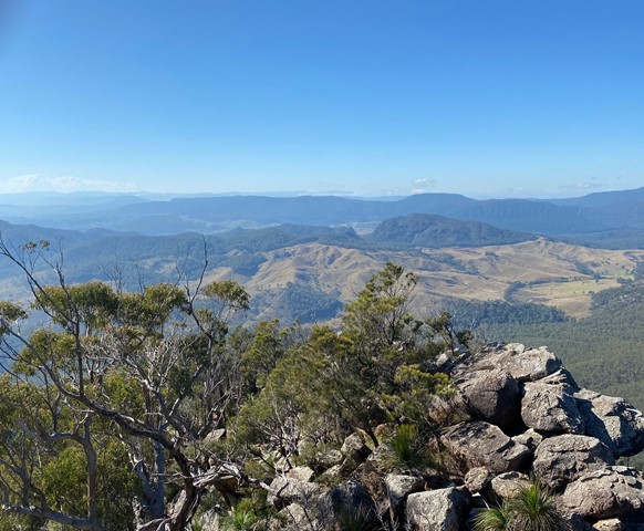
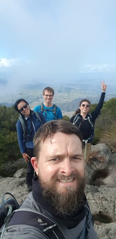
Mt Barney - East Peak - Up South-East - Down South
Mt Barney National Park
Ascent of Mt Barney via South East Ridge and descent via Peasants Ridge: a challenging but rewarding hike. The views are amazing and certainly worth the effort. If coming from Brisbane leave early and aim to be at Yellow Pinch car park by 7:30-8 am. Allow 3-4 hours for the ascent via the South East Ridge track and 2-3 hours for decent via South Ridge (Peasants Ridge) track.
 4
km
90
mins
4
km
90
mins
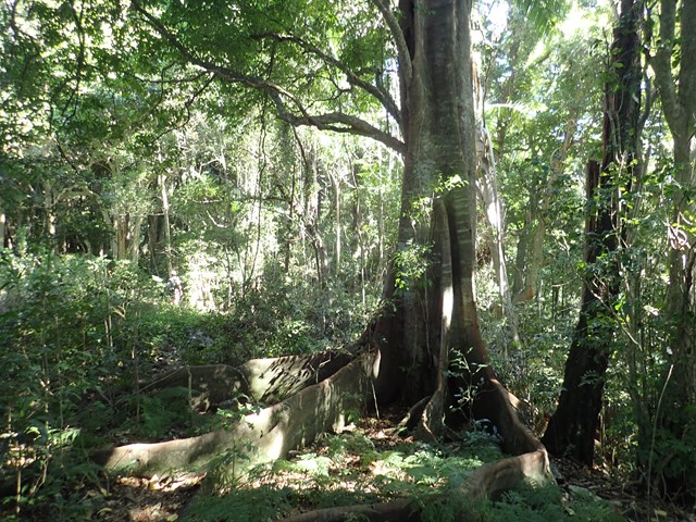
Simpsons Falls and Eugenia Circuit
Mt. Coot-tha
This track begins at Simpson Falls Picnic Area. It is excellent for wildflower viewing in late winter and spring when the golden wattles and purple hoveas of the open forest understorey burst into bloom. Links with the Eugenia Circuit
 26
km
8
hrs
26
km
8
hrs
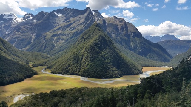
Routeburn Track (At least to Harris Saddle and back)
South Island NZ
Part of the Routeburn Great Walk in Otago, I only had a day and one car so I couldn't go to the end. Most fit walkers I talked to said you can easily do it in a day.
 2.7
km
return
2
hrs
2.7
km
return
2
hrs
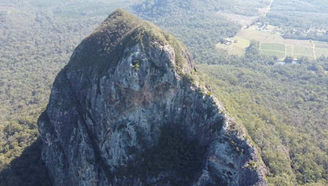
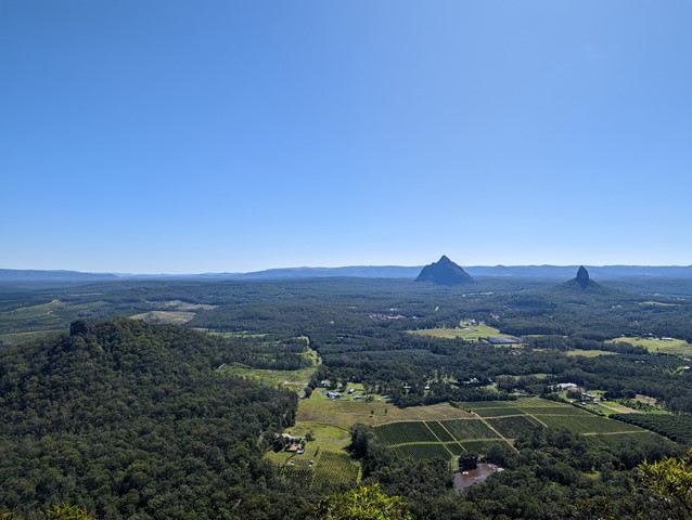
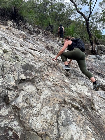
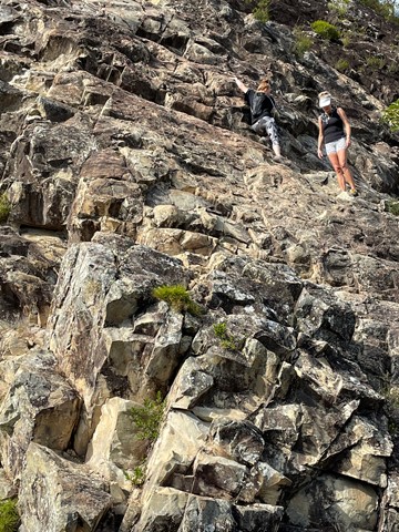
Mount Tibrogargan Summit
Glass House Mountains National Park
Almost a free climb instead of a hike.
It’s quite tricky to actually find it. Come off the Steve Irwin way at Matthew something park and drive around the back and through a tight railway tunnel then off to the right. You’ll pass some farming sheds on your right and the track to the car park is on your left.
According to Jinibara people’s lore and custom, Beerwah is the ancestral, pregnant mother. Tibrogargan is seen as the father with Ngungun, his faithful dingo, lying at his feet. The mountains around them are their children. Coonowrin is the eldest. The others are Beerburrum, Coochin, Elimbah, Tibberoowuccum, Miketeebumulgrai, Tunbubudla and, the youngest is currently known as Wild Horse Mountain.
Aboriginal people do not climb these mountains out of spiritual respect to Jinibara and Kabi Kabi peoples. They ask that visitors refrain from climbing them for the same reason.
 2.8
km
return
3
hrs
2.8
km
return
3
hrs
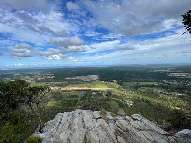
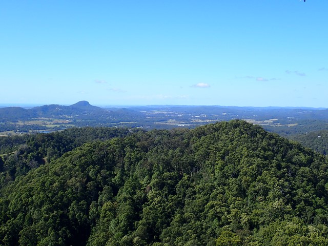
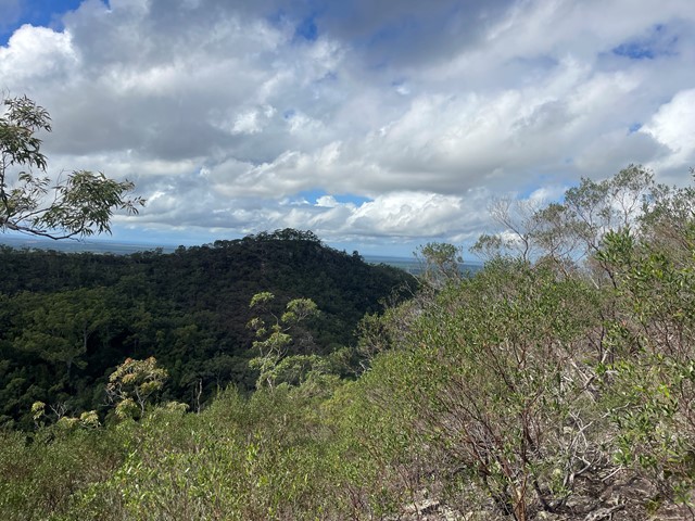
Mt Eerwah
Sunshine Coast
This is a seldom but fun mountain to climb and in places only has a faint trail to the top. Views from there are in a westerly direction and whilst spectacular, the views to the east across the coastal plain, would have been even better, but for the scrub and trees.
It's a steep and loose track, definitely not suited for those with balance issues, smaller children, etc. A section near the top has eroded/wasted away, leaving a significant drop off - be careful!
The track is very clear. At one point the description on this site indicates to turn right upon reaching a ridge. I think that’s a typo as the track continues up to the left.
 2.6
km
return
2.5
hrs
2.6
km
return
2.5
hrs
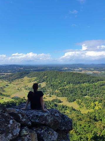
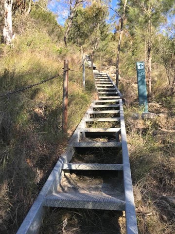
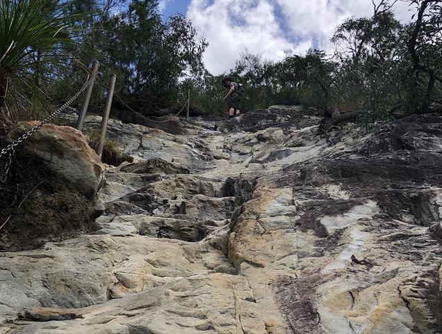
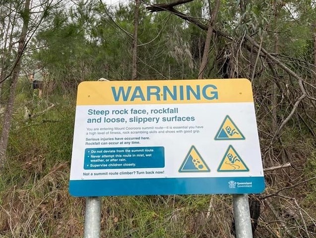
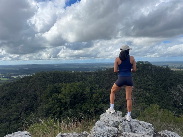
Mt Cooroora
Sunshine Coast
Become your own 'King of the Mountain'.
Mt Cooroora at 446m (Tuchekoi National Park), is probably the most famous of the Sunshine Coast climbs, due to the King of the Mountain race held annually in July since 1979. The fact that it is a race from the pub in town, and the best time is 22:43, gives you the false impression that this might be quite an easy climb, but you would be wrong!
Take time out as you climb to enjoy the stunning views south across the Sunshine Coast and the 360° vista from the top.
 2.8
km
return
2
hrs
2.8
km
return
2
hrs
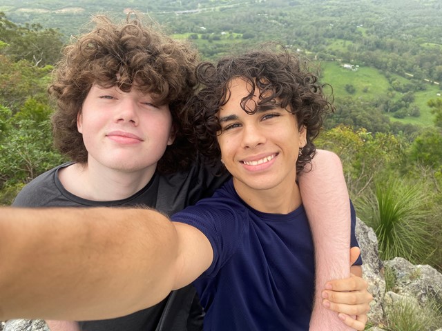
Mt Coochin (East and West Peaks)
Glass House Mountains National Park
This is a great scramble on a pretty twin peak mountain, with some outstanding views of the Glass House Mountains region to the south and the Brisbane CBD in the far distance.
 17
km
6.5
hrs
17
km
6.5
hrs
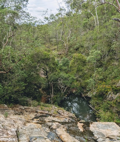
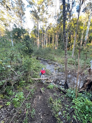
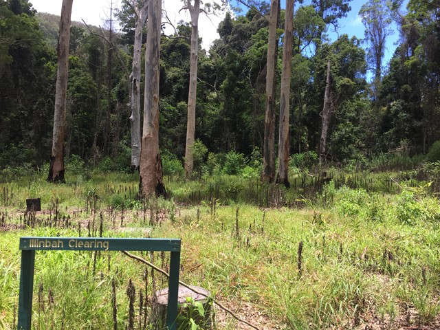
Illinbah Circuit
Lamington National Park
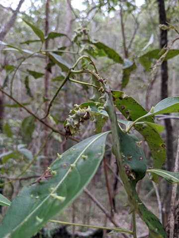
This track explores the lower reaches of the Coomera River. And there are many river crossings. The track may change slightly after heavy rains.