
Whitewater Wall Access Tracks
Freycinet National Park


Menu
Short walks from camp out to the sea cliffs rock climbers use.
Lookouts
Scrambling or Climbing
Coastal
64m
Maximum Elevation
60m
Total Climb

Getting there
How do you get to the start of the walk?
From Whitewater Wall Campsite
Maps
Which maps cover the area?
Maps of Freycinet National Park
Route/Trail notes
A detailed description of the walk!
Two main trails with lots of branch offs to climbs. One leads from the top of the car turn around point out to the coast. The other leaves from near the toilet and heads further down the coastline.
Permits/Costs
Do you need any permits? What's the cost?
Free if you have your parks pass
Other References
How can I find more info? Any guide books?
GPS Tracks
- No GPS available for this walk yet.
 1.4
1.4 40
40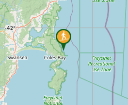
Comments
Nobody has commented on this walk yet. If you've done it then tick it off and add a comment.