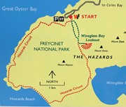
A walk to Wineglass Bay and then across the isthmus to Hazards Beach, and around Mt Mayson to return to the carpark.
Getting there
At Freycinet National Park, follow the road to the end.
Maps
Map available at the Visitor's Centre Freycinet National Park
Route/Trail notes
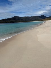
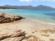
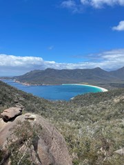
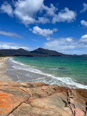
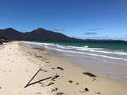
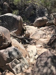
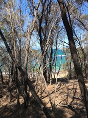
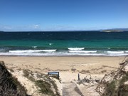
The path begins with many steps, ascending to 5 minutes short of the Wineglass Bay lookout, climbing the saddle between Mt Amos and Mt Mayson. It then descends via many more stairs to Wineglass Bay. From there, follow the track across the isthmus to Hazards Beach. This part of the track is fairly level, and includes some sandy sections. Then follow the beach towards the right until you reach the rocks at the other end. Walk up onto the rocks, and you should soon see the track entrance that will take you back to the start. The track is fairly easy to follow, and involves sandy and rocky sections. It passes a number of small bays along the way.
Permits/Costs
Do you need any permits? What's the cost?
Other References
How can I find more info? Any guide books?
GPS Tracks
- No GPS available for this walk yet.



 11.5
11.5 4
4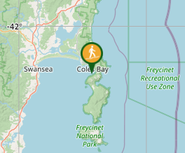
Comments