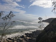
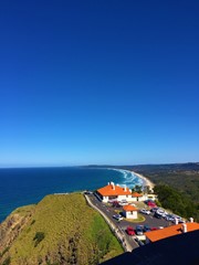
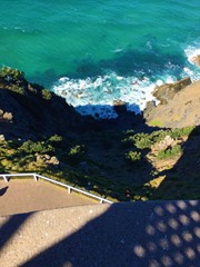
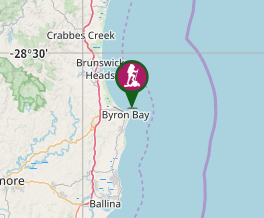
From the Eastern end of Wategos popular beach parking is difficult. Enter trail and take it up to the light house and back passing the furthest East point of the Australian mainland.
About a k and half each way plus another k for detour to Cape Byon. Optional detour to Little Wategos Beach/ lookout via board walk.
Lookouts
Swimming
Picnic Facilities
Toilets
Coastal
Getting there
How do you get to the start of the walk?
The eastern end of Wategos Beach
Maps
Which maps cover the area?
ones of Byron
Route/Trail notes
A detailed description of the walk!
Permits/Costs
Do you need any permits? What's the cost?
free
Other References
How can I find more info? Any guide books?


 Lighthouse Trundle (GPX)
 4
4 90
90
Comments