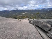
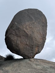
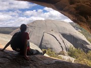
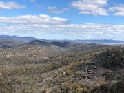
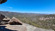
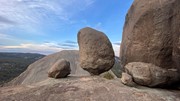
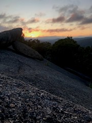
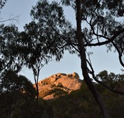
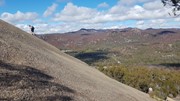
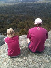
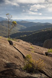
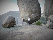
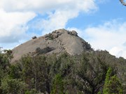
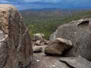
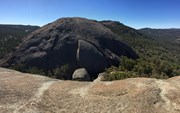
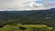
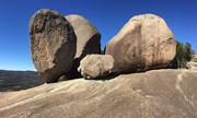
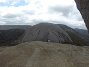
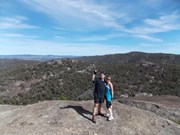
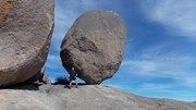
Grab some magnificent views from the first of Girraween's dominating Pyramids. If the climb doesn't take your breath away, the views of Balancing Rock, Second Pyramid and over Girraween National Park will.
Getting there:
Girraween NP is situated approximately 260km by road south-west of Brisbane. To reach the park, turn off the New England Highway 26km south of Stanthorpe or 30km north of Tenterfield onto Pyramids Road. The winding bitumen road continues a further 9km east through the Wyberba Valley to the park's Information Centre and day use picnic area.
An alternative road from Stanthorpe to Girraween via Eukey and Storm King Dam has some gravel sections.
Maps:
Route/Trail notes:
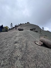
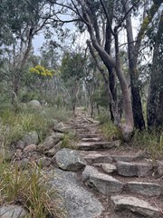
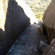
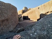
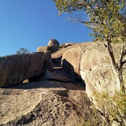
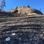
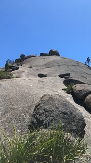
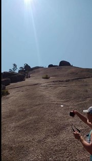
Follow the signposted track starting from the day use and picnic area. The track crosses over the creek on a concrete bridge along the same track as the Granite Arch track. Leave the Granite Arch track by following the signposts to the base of the pyramid. Here the track becomes quite steep - the reason for the difficulty! Keep heading up the track till you leave the forest and start up the exposed granite. The track is marked using Girraween's standard white markers. Just follow this up until you hit the top.
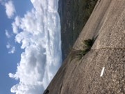
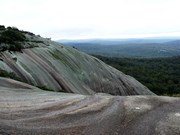
As with all of Girraween's granite it can become very slippery when wet and should not be attempted in damp conditions. The walk is also quite exposed so be prepared if you're wary of heights.
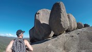
Make sure to check out the balancing rock on the Northern side of the summit and enjoy the views of pretty much everything else in Girraween - Castle Rock, The Sphinx, Mt Norman and even to Bald Rock in NSW.
Permits/Costs:
None.
Other References/Comments:
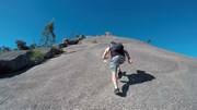
A good level of fitness is required to make the climb up The Pyramid as the ascent of the exposed rock face is steep and may be tiring. Take your time to rest and enjoy the view.
With so many bushwalking options in the park, why not take advantage of the excellent camping facilities at Bald Rock Creek or Castle Rock







 Pyramid Track (KML)
 3.8
3.8 2
2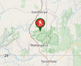
Comments