
Menu
Popular Walks
-
Wheel of Fire walk
(26 ticks) -
Sky Window Circuit
(23 ticks) -
Honeyeater Lookout
(21 ticks) -
Mt Rooper/ Swamp Bay
(19 ticks) -
Rainforest Discovery Circuit
(17 ticks)
Popular Walks
-
Wheel of Fire walk
(26 ticks) -
Sky Window Circuit
(23 ticks) -
Honeyeater Lookout
(21 ticks) -
Mt Rooper/ Swamp Bay
(19 ticks) -
Rainforest Discovery Circuit
(17 ticks)
History
Any interesting history for the region?
Features
What are the standout bushwalking features?
Access
How do you get there? Include all access points if there are many?
Maps
Which maps cover the region?
Accommodation
Where can I stay there? or near there?
Camping
Council Areas:
- Isaac Regional
- Mackay Regional
- Whitsunday Regional
- Livingstone Shire
Contact details
Contact details for National Park offices or similar...
Walks in Great Keppel Island

 2.5
km
return
2.5
km
return
 90
mins
90
mins
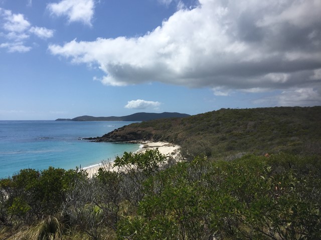
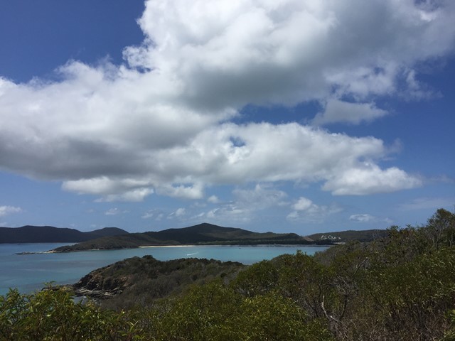
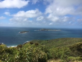
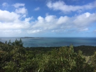
Middle Island Summit
Walk from sunset beach to the far Northern point then across the Northern most of the two Eastern beaches and to the summit and back. No actual path some bush bashing and best view is from just before the summit as the summit's view is obscured by trees.
 7
km
return
2
hrs
7
km
return
2
hrs
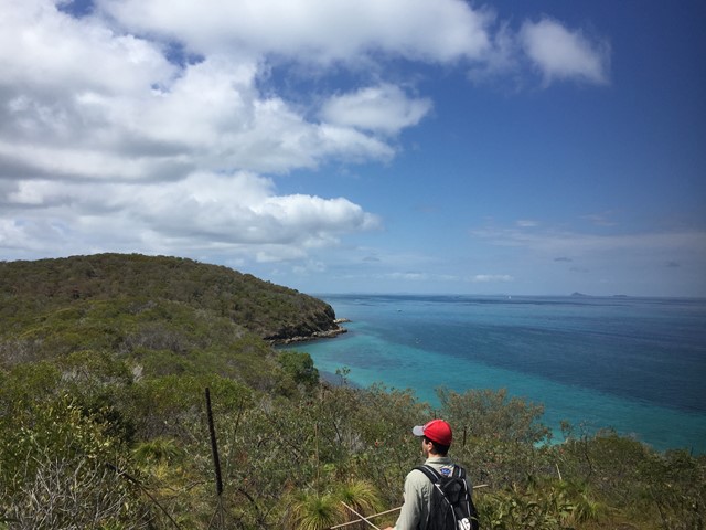
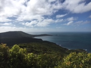
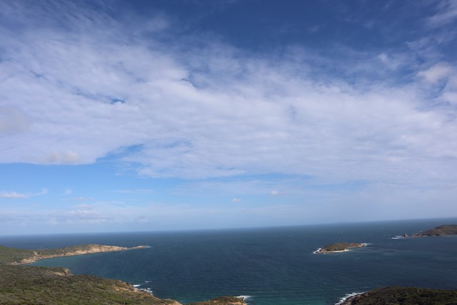
Mount Wyndham Loop
A short walk to the highest point on Great Keppel Island. Has dramatic views of the stunning coast line.
 17
km
return
1
days
17
km
return
1
days
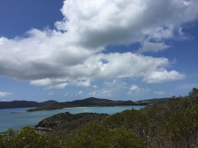
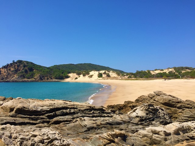
Northern Beaches
Start point the Western end of Putney Beach head over the headland to Leekes Beach continue along it till the tidal lagoon. If low tide continue straight across to Second Beach if high tide circumnavigate the lagoon then continue onto to Svendsens Beach and around Little Peninsular to Butterfish Bay then cut across the sand hills to Wreck Beach then back across the dunes to svendsens and follow your way back.
Look out for the wildlife, Peacocks, snakes, goats e.c.t.
An amalgamation of walks to provide a day treck.