
Menu
Popular Walks
-
Mt Ngungun
(1120 ticks) -
Mount Coolum
(849 ticks) -
Mt Cordeaux
(646 ticks) -
Twin Falls Circuit
(614 ticks) -
Purling Brook Falls Circuit
(593 ticks)
Parent Regions
Sub-Regions
- Amamoor State Forest
- Bellthorpe National Park
- Brisbane City Council Local Walks
- Brisbane Forest park D'Aguilar National Park
- Brisbane Valley Rail Trail
- Coombabah Lakelands Conservation Area
- Daisy Hill Conservation Park
- Eumundi Conservation Park
- Glass House Mountains National Park
- Glen Rock Regional Park
- Gold Coast
- Ipswich
- Jimna State Forest
- Karawatha Forest
- Kondalilla National Park
- Lamington National Park
- Main Range National Park
- Mapleton National Park
- Moggill Conservation Park
- Moogerah Peaks National Park
- Moreton Island National Park
- Mt Barney National Park
- North Stradbroke Island - Minjeeribah
- Parklands Conservation Park
- Springbrook National Park
- Sunshine Coast
- Tamborine National Park
- White Rock - Spring Mountain Conservation Estate
Summary
Boarding NSW and the pacific Ocean, it is not uncommon for hikes to have views of both worlds (ocean and hinterland). Hikes here are typically on the great dividing range.
Popular Walks
-
Mt Ngungun
(1120 ticks) -
Mount Coolum
(849 ticks) -
Mt Cordeaux
(646 ticks) -
Twin Falls Circuit
(614 ticks) -
Purling Brook Falls Circuit
(593 ticks)
Parent Regions
Sub-Regions
- Amamoor State Forest
- Bellthorpe National Park
- Brisbane City Council Local Walks
- Brisbane Forest park D'Aguilar National Park
- Brisbane Valley Rail Trail
- Coombabah Lakelands Conservation Area
- Daisy Hill Conservation Park
- Eumundi Conservation Park
- Glass House Mountains National Park
- Glen Rock Regional Park
- Gold Coast
- Ipswich
- Jimna State Forest
- Karawatha Forest
- Kondalilla National Park
- Lamington National Park
- Main Range National Park
- Mapleton National Park
- Moggill Conservation Park
- Moogerah Peaks National Park
- Moreton Island National Park
- Mt Barney National Park
- North Stradbroke Island - Minjeeribah
- Parklands Conservation Park
- Springbrook National Park
- Sunshine Coast
- Tamborine National Park
- White Rock - Spring Mountain Conservation Estate
History
Any interesting history for the region?
Features
What are the standout bushwalking features?
Access
How do you get there? Include all access points if there are many?
Maps
Which maps cover the region?
Accommodation
Where can I stay there? or near there?
Camping
Council Areas:
- Scenic Rim Regional
- Gold Coast City
- Logan City
- Redland City
- Ipswich City
- Lockyer Valley Regional
- Brisbane City
- Somerset Regional
- Moreton Bay Regional
- Sunshine Coast Regional
- Noosa Shire
Contact details
See Qld National parks website
Walks in Brisbane City Council Local Walks

 2.5
km
return
2.5
km
return
 1
hr
1
hr
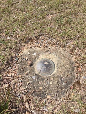
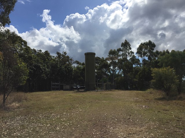
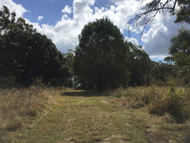
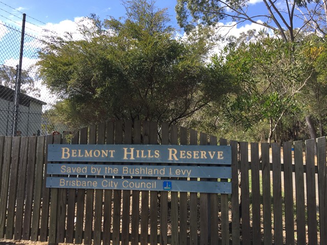
Belmont Hills Reserve
A short walk to the top of Belmont Hill. Journey to the top of the hill has some great views of the city and surrounding suburbs.
Top of the hill has some great places to rest under the tree canopy and have a picnic
 3
km
return
45
mins
3
km
return
45
mins
Beryl Roberts Park
Accessible toilet, barbecue (electric), bikeway network, dog off leash area (Arrunga Street), fitness station (Barham Street), picnic area (Barham Street), playground (Barham Street, Perina Street), public toilet (Barham Street), water (bubbler/tap)
 2
km
return
45
mins
2
km
return
45
mins
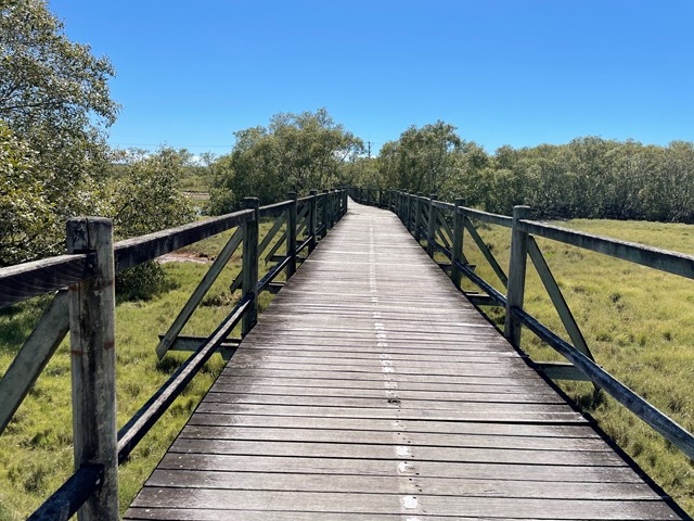
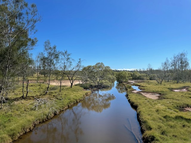
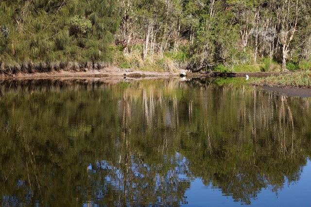
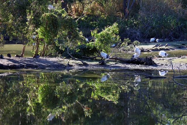
Billai Dhagun Circuit
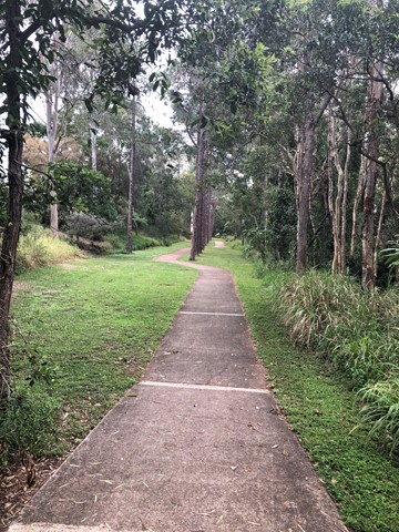
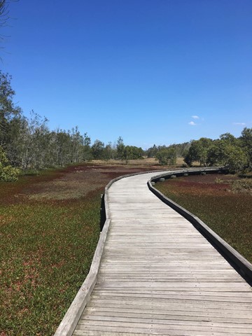
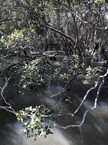
Billai Dhagun Circuit is part of the Boondall Wetlands, and after rain this walk can get quite wet. It is still quite an easy walk though. The name means 'Place of She-oaks', and you will see plenty of these here. There is a bird hide along the walk so that you can watch the water birds at the opening to Nundah Creek.
 3.4
km
return
1
hr
3.4
km
return
1
hr
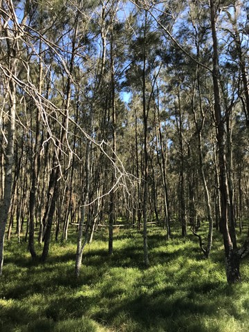
Bloodwood, She-oak, Mahogany and Ironbark Loop (Whites Hill Reserve)
Lovely Aussie scrub bush walk. Keep your eye out for koalas.
 8.4
km
return
8.4
km
return
Boondall Wetlands Bikeway
Walking and bike track leading from Boondall Wetlands Environment Centre to Nudgee Road.
 1
km
return
20
mins
1
km
return
20
mins
Bowie Flats Wetlands
Located in the Suburb of Coorparoo there is a little hidden treasure to walk around. Take a look.
Have a look at the Video.
http://www.youtube.com/watch?v=QmQ77iMVHeY
 3.5
km
return
1
hr
3.5
km
return
1
hr
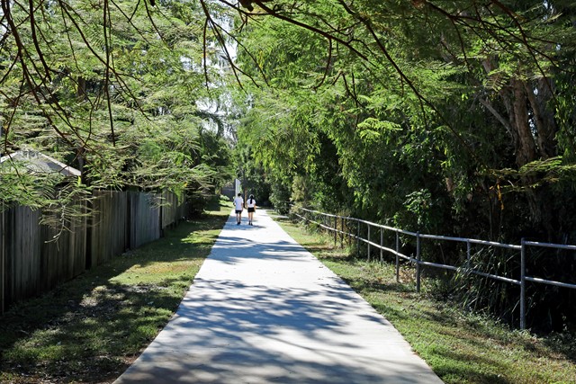
Brisbane Koala Bushlands (Multi Use Trail)
A pleasant walk in bushland that takes about 1 hour. You are likely to have the walk to yourself and see wallabies and various bird species.
 1.4
km
return
30
mins
1.4
km
return
30
mins
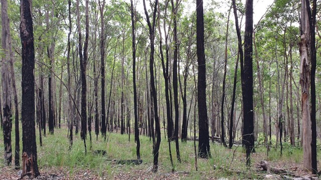
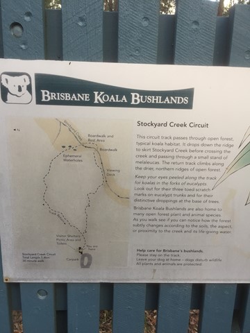
Brisbane Koala Bushlands (Stockyard Creek Walking Trail)
Circuit track through open forest koala habitat. Bitumen/ boardwalk.
 8
km
return
90
mins
8
km
return
90
mins
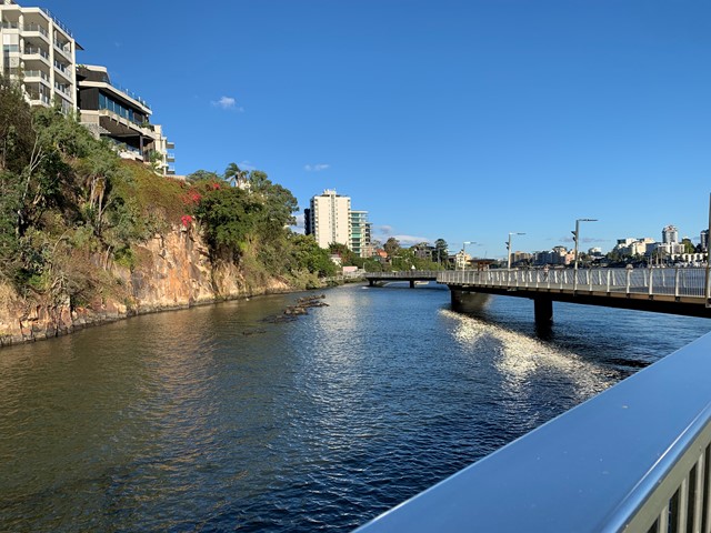
Brisbane River Walk
This is my taken pathway: Fortitude Valley, New Farm, Riverwalk, Kangaroo Point on a sunny hot day! It took me 1.5h equivalent to 10k & 11,000 steps
 5
km
return
90
mins
5
km
return
90
mins
Cornubia Forest Park - Birdwing - Stupidty Happy - Birdwing
This walk is shared with the brave bike riders. The first half was winding down to the valleys bottom then winding back up to the top.