
Menu
Popular Walks
-
Mt Ngungun
(1146 ticks) -
Mount Coolum
(864 ticks) -
Mt Cordeaux
(660 ticks) -
Twin Falls Circuit
(631 ticks) -
Purling Brook Falls Circuit
(608 ticks)
Parent Regions
Sub-Regions
- Amamoor State Forest
- Bellthorpe National Park
- Brisbane City Council Local Walks
- Brisbane Forest park D'Aguilar National Park
- Brisbane Valley Rail Trail
- Coombabah Lakelands Conservation Area
- Daisy Hill Conservation Park
- Eumundi Conservation Park
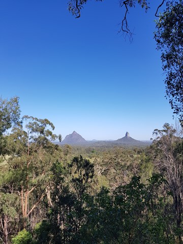
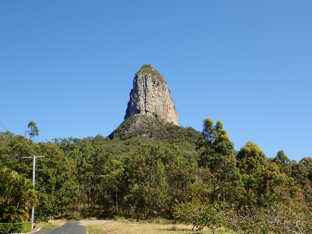
- Glass House Mountains National Park
- Glen Rock Regional Park
- Gold Coast
- Ipswich
- Jimna State Forest
- Karawatha Forest
- Kondalilla National Park
- Lamington National Park
- Main Range National Park
- Mapleton National Park
- Moggill Conservation Park
- Moogerah Peaks National Park
- Moreton Island National Park
- Mt Barney National Park
- North Stradbroke Island - Minjeeribah
- Parklands Conservation Park
- Springbrook National Park
- Sunshine Coast
- Tamborine National Park
- White Rock - Spring Mountain Conservation Estate
Summary
Boarding NSW and the pacific Ocean, it is not uncommon for hikes to have views of both worlds (ocean and hinterland). Hikes here are typically on the great dividing range.
Popular Walks
-
Mt Ngungun
(1146 ticks) -
Mount Coolum
(864 ticks) -
Mt Cordeaux
(660 ticks) -
Twin Falls Circuit
(631 ticks) -
Purling Brook Falls Circuit
(608 ticks)
Parent Regions
Sub-Regions
- Amamoor State Forest
- Bellthorpe National Park
- Brisbane City Council Local Walks
- Brisbane Forest park D'Aguilar National Park
- Brisbane Valley Rail Trail
- Coombabah Lakelands Conservation Area
- Daisy Hill Conservation Park
- Eumundi Conservation Park
- Glass House Mountains National Park
- Glen Rock Regional Park
- Gold Coast
- Ipswich
- Jimna State Forest
- Karawatha Forest
- Kondalilla National Park
- Lamington National Park
- Main Range National Park
- Mapleton National Park
- Moggill Conservation Park
- Moogerah Peaks National Park
- Moreton Island National Park
- Mt Barney National Park
- North Stradbroke Island - Minjeeribah
- Parklands Conservation Park
- Springbrook National Park
- Sunshine Coast
- Tamborine National Park
- White Rock - Spring Mountain Conservation Estate
History
Any interesting history for the region?
Features
What are the standout bushwalking features?
Access
How do you get there? Include all access points if there are many?
Maps
Which maps cover the region?
Accommodation
Where can I stay there? or near there?
Camping
Council Areas:
- Scenic Rim Regional
- Gold Coast City
- Logan City
- Redland City
- Ipswich City
- Lockyer Valley Regional
- Brisbane City
- Somerset Regional
- Moreton Bay Regional
- Sunshine Coast Regional
- Noosa Shire
Contact details
See Qld National parks website
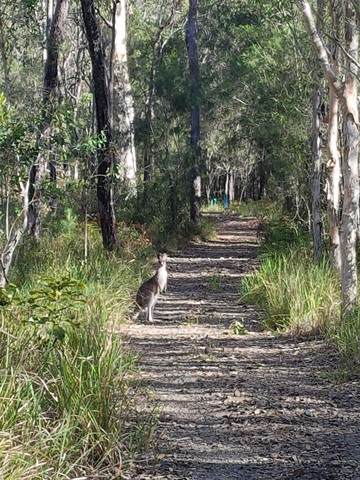
Walks in Daisy Hill Conservation Park

 4
km
return
4
km
return
 1
hr
1
hr
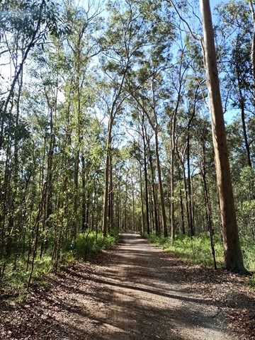
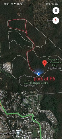
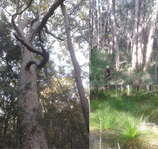
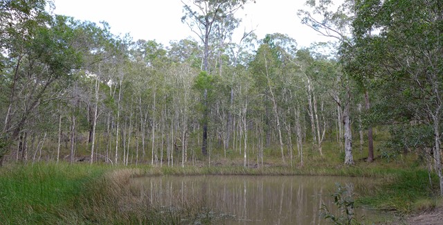
Spotted Gum Trail
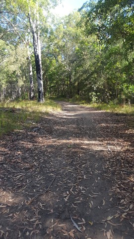
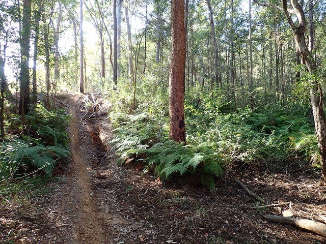
A fairly level four wheel drive track, so is quite an easy going walk, but a few hilly bits. It takes you through Eucalyptus forest.
For best parking, park at the top right "corner" of the Daisy Hill Rd parking loop at P6. There is a small toilet at P7 about 100m south from P6 on the same loop.
The track can also be accessed at its top left side from Underwood Road.
This loop track can be accessed from the Tree Discovery Trail. There is a track that branches links the two.
4km approx. 1hr
 5.7
km
return
90
mins
5.7
km
return
90
mins
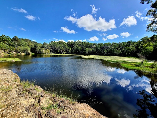
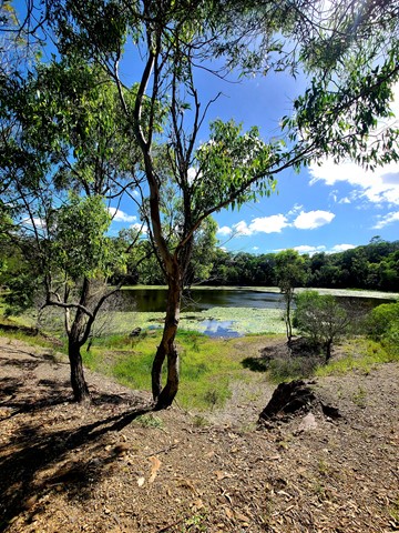
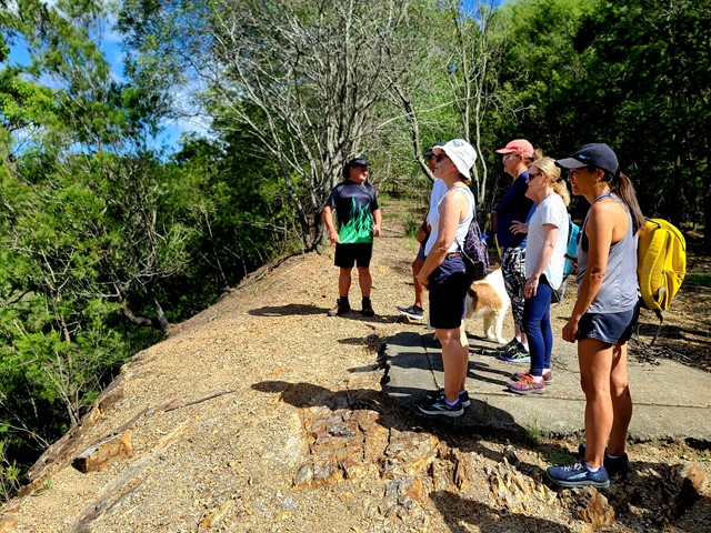
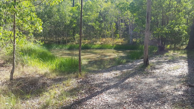
Stringybark Circuit to Daisy Hill Quarry
This is a well-rounded walk through the Daisy Hill Conservation Park bushland out to the Old Quarry. Note, this is a shared trail for walkers, bikes and horses. A pleasant walk with a few easy hills. From the car park at Daisy Hill Road the route follows mostly unsealed/gravel road until you reach the quarry.
 800
m
return
30
mins
800
m
return
30
mins
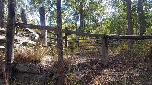
Tree Discovery Trail
A short walk through eucalyptus forest with information boards along the way talking about how the eucalyptus forest works. There are quite a few steps, but the walk isn't too strenuous
Walks in Eumundi Conservation Park
4.7
km
return
75
mins
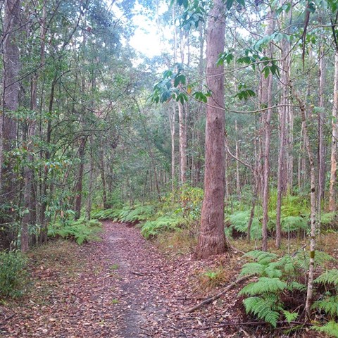
Blackbutt Trail
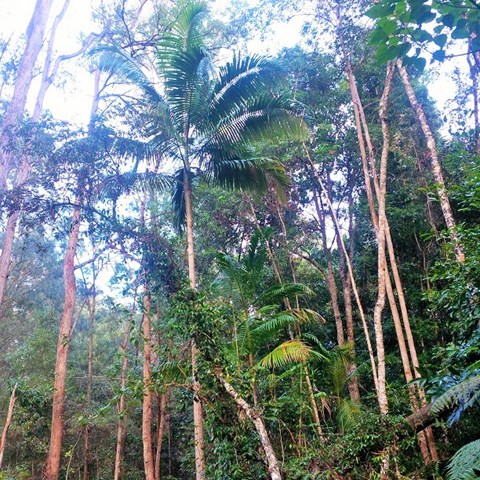
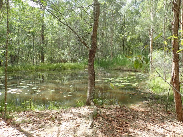
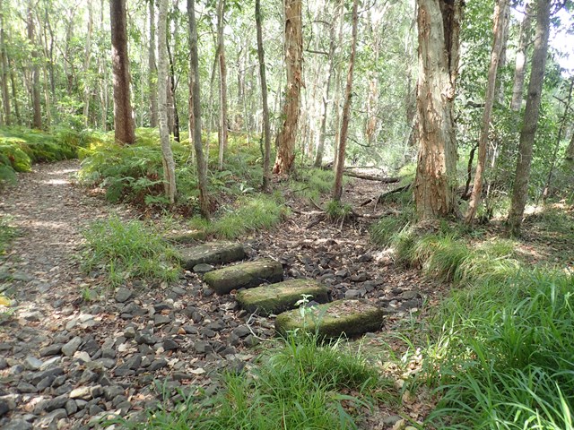
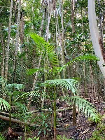
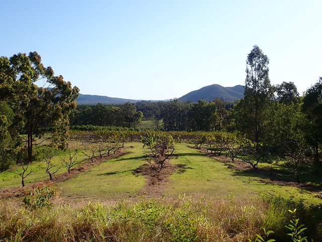
A hilly landscape with grassy open forest features in this park. Along creeks and sheltered gullies, tall wet eucalypt forest and rainforest grows. Horseriders, mountain bike riders and walkers can enjoy the tranquillity of this park on shared trails, natural surfaces and gentle gradients.
 4.3
km
return
1
hr
4.3
km
return
1
hr
Figbird Trail
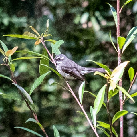
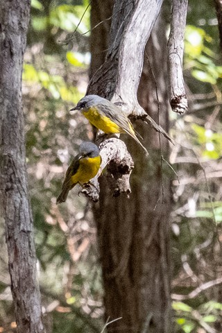
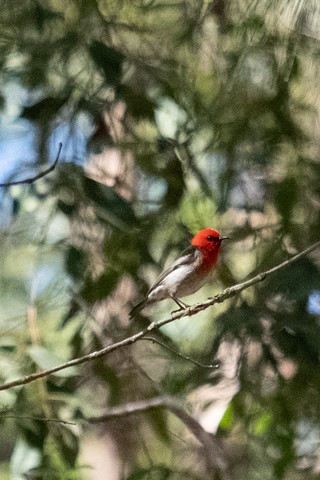
Nice easy walk. Stop and watch - plenty of great birds around.
 3.6
km
return
1
hr
3.6
km
return
1
hr
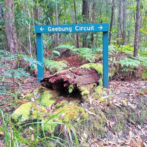
Geebung Circuit
A hilly landscape with grassy open forest features in this park. Along creeks and sheltered gullies, tall wet eucalypt forest and rainforest grows. Horse riders, mountain bike riders and walkers can enjoy the tranquillity of this park on shared wide trails, natural surfaces and gentle gradients.
 10.2
km
return
2
hrs
10.2
km
return
2
hrs
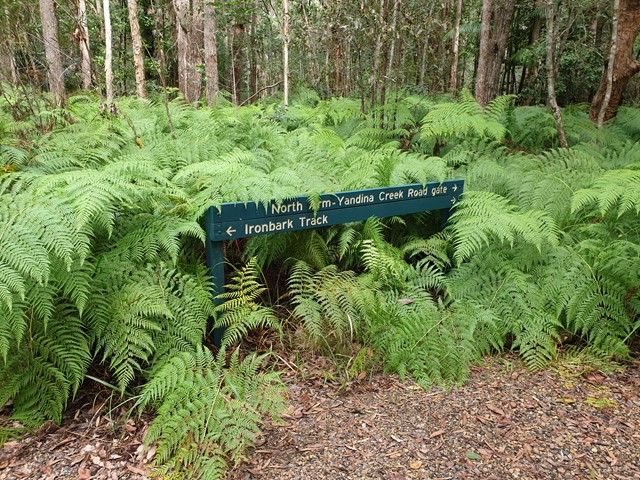
Ironbark Trail
A hilly landscape with grassy open forest features in this park. Along creeks and sheltered gullies, tall wet eucalypt forest and rainforest grows. Horse riders, mountain bike riders and walkers can enjoy the tranquillity of this park on shared trails, natural surfaces and gentle gradients.
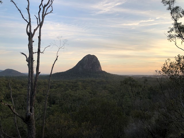
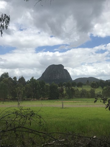
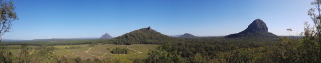
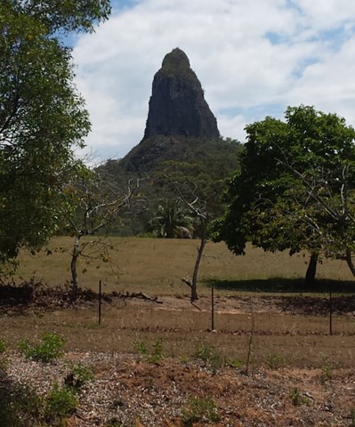
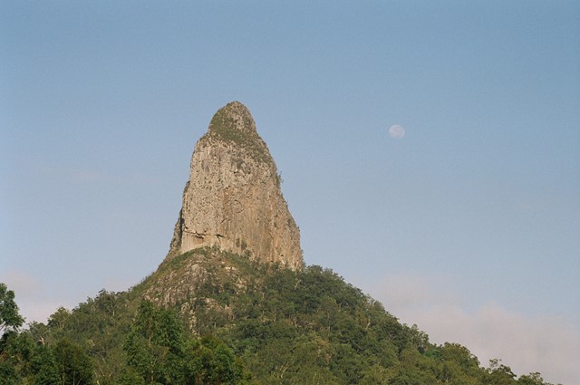
Walks in Glass House Mountains National Park
 18
km
return
6
hrs
18
km
return
6
hrs
Beerburrum to Tibrogargan circuit via Soldier Settlers, Trachyte, Tibrogargan loop and Yul-yan-man track
This circuit will take you on all four trails between Beerburrum and Tibrogargan. It starts off easy but the last 5km is the hardest. The reward is an awesome hike!
 13.22
km
return
3.75
hrs
13.22
km
return
3.75
hrs
Beerburrum to Trachyte and Tibrogragan Circuits
Walk from Beerburrum to the Returned Servicemans memorial Track to Trachyte Circuit to Tibrogargan Circuit to Steve Irwin Way
 12
km
2.25
hrs
12
km
2.25
hrs
Coonowrin Circut (almost)
This track ALMOST makes it around the entire Coonowrin Circut, infact it is only a matter of 385mts that is blocked off by a gate and heaps of Private Property signs.