
Menu
Popular Walks
-
Mt Ngungun
(1121 ticks) -
Mount Coolum
(850 ticks) -
Mt Cordeaux
(646 ticks) -
Twin Falls Circuit
(614 ticks) -
Purling Brook Falls Circuit
(593 ticks)
Parent Regions
Sub-Regions
- Amamoor State Forest
- Bellthorpe National Park
- Brisbane City Council Local Walks
- Brisbane Forest park D'Aguilar National Park
- Brisbane Valley Rail Trail
- Coombabah Lakelands Conservation Area
- Daisy Hill Conservation Park
- Eumundi Conservation Park
- Glass House Mountains National Park
- Glen Rock Regional Park
- Gold Coast
- Ipswich
- Jimna State Forest
- Karawatha Forest
- Kondalilla National Park
- Lamington National Park
- Main Range National Park
- Mapleton National Park
- Moggill Conservation Park
- Moogerah Peaks National Park
- Moreton Island National Park
- Mt Barney National Park
- North Stradbroke Island - Minjeeribah
- Parklands Conservation Park
- Springbrook National Park
- Sunshine Coast
- Tamborine National Park
- White Rock - Spring Mountain Conservation Estate
Summary
Boarding NSW and the pacific Ocean, it is not uncommon for hikes to have views of both worlds (ocean and hinterland). Hikes here are typically on the great dividing range.
Popular Walks
-
Mt Ngungun
(1121 ticks) -
Mount Coolum
(850 ticks) -
Mt Cordeaux
(646 ticks) -
Twin Falls Circuit
(614 ticks) -
Purling Brook Falls Circuit
(593 ticks)
Parent Regions
Sub-Regions
- Amamoor State Forest
- Bellthorpe National Park
- Brisbane City Council Local Walks
- Brisbane Forest park D'Aguilar National Park
- Brisbane Valley Rail Trail
- Coombabah Lakelands Conservation Area
- Daisy Hill Conservation Park
- Eumundi Conservation Park
- Glass House Mountains National Park
- Glen Rock Regional Park
- Gold Coast
- Ipswich
- Jimna State Forest
- Karawatha Forest
- Kondalilla National Park
- Lamington National Park
- Main Range National Park
- Mapleton National Park
- Moggill Conservation Park
- Moogerah Peaks National Park
- Moreton Island National Park
- Mt Barney National Park
- North Stradbroke Island - Minjeeribah
- Parklands Conservation Park
- Springbrook National Park
- Sunshine Coast
- Tamborine National Park
- White Rock - Spring Mountain Conservation Estate
History
Any interesting history for the region?
Features
What are the standout bushwalking features?
Access
How do you get there? Include all access points if there are many?
Maps
Which maps cover the region?
Accommodation
Where can I stay there? or near there?
Camping
Council Areas:
- Scenic Rim Regional
- Gold Coast City
- Logan City
- Redland City
- Ipswich City
- Lockyer Valley Regional
- Brisbane City
- Somerset Regional
- Moreton Bay Regional
- Sunshine Coast Regional
- Noosa Shire
Contact details
See Qld National parks website
Walks in Glass House Mountains National Park

 4
km
return
4
km
return
 2.5
hrs
2.5
hrs
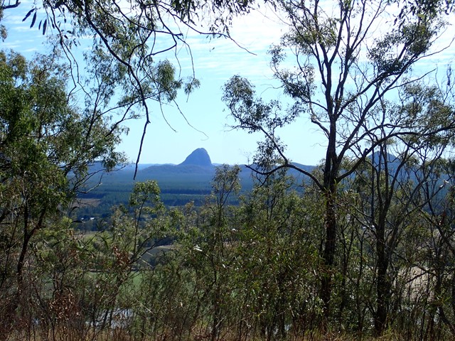
Mount Cooee
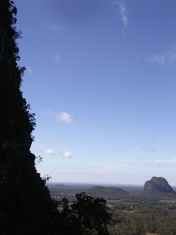
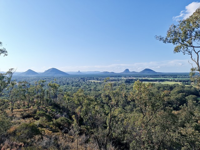
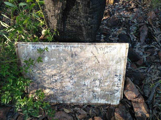
At just 167m, this is probably the least climbed and one of the least known mountains in the area, especially as it is overshadowed by Mount Tibrogargan immediately to the west.
 2.7
km
return
2
hrs
2.7
km
return
2
hrs
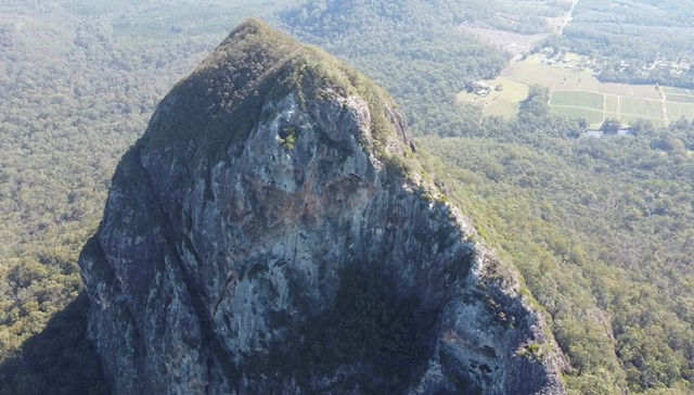
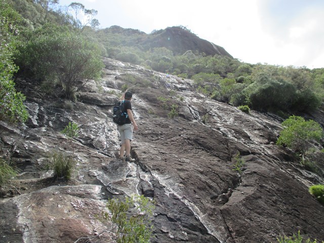
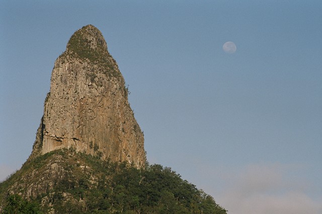
Mount Tibrogargan Summit
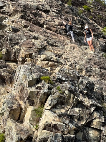
Almost a free climb instead of a hike.
It’s quite tricky to actually find it. Come off the Steve Irwin way at Matthew something park and drive around the back and through a tight railway tunnel then off to the right. You’ll pass some farming sheds on your right and the track to the car park is on your left.
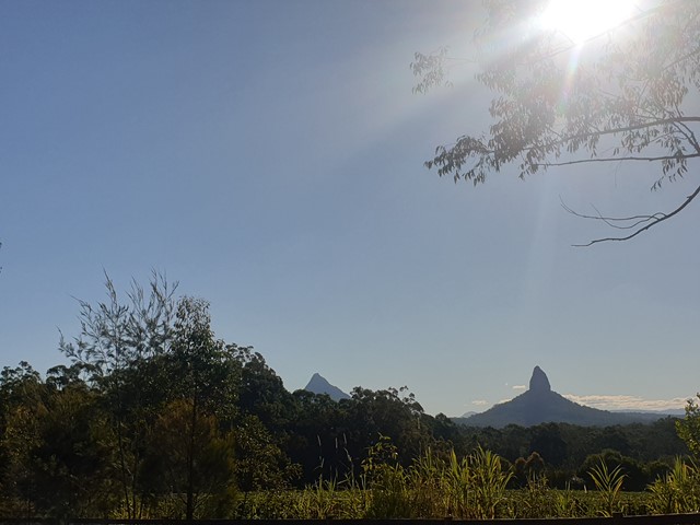
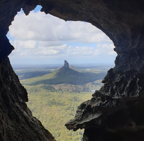
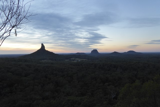
According to Jinibara people’s lore and custom, Beerwah is the ancestral, pregnant mother. Tibrogargan is seen as the father with Ngungun, his faithful dingo, lying at his feet. The mountains around them are their children. Coonowrin is the eldest. The others are Beerburrum, Coochin, Elimbah, Tibberoowuccum, Miketeebumulgrai, Tunbubudla and, the youngest is currently known as Wild Horse Mountain.
Aboriginal people do not climb these mountains out of spiritual respect to Jinibara and Kabi Kabi peoples. They ask that visitors refrain from climbing them for the same reason.
 3
km
return
5
hrs
3
km
return
5
hrs
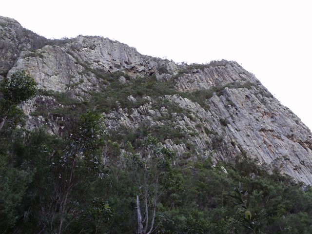
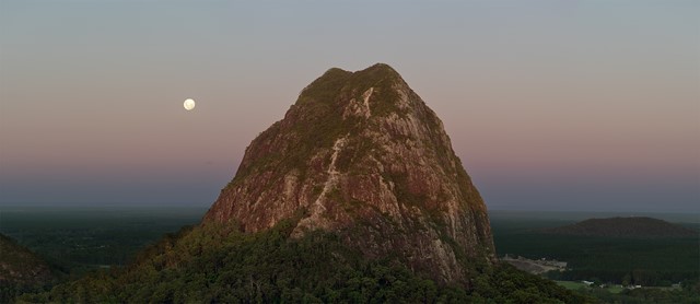
Mt Beerwah East Face
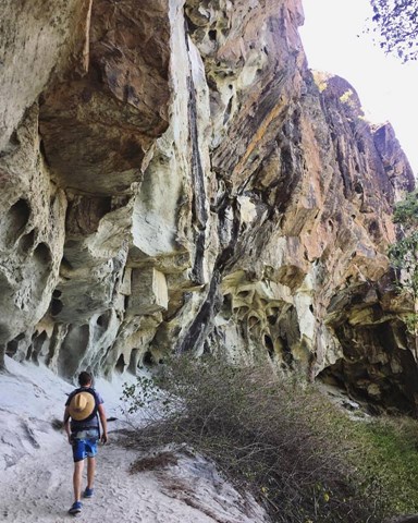
With the summmit track closed due to a massive rockfall in 2008 this is an alternative route to the summit. It is quite steep and exposed in places and not recommended if you don't have a head for heights.
 2.8
km
return
2
hrs
2.8
km
return
2
hrs
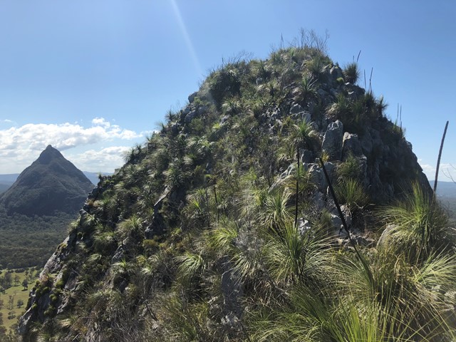
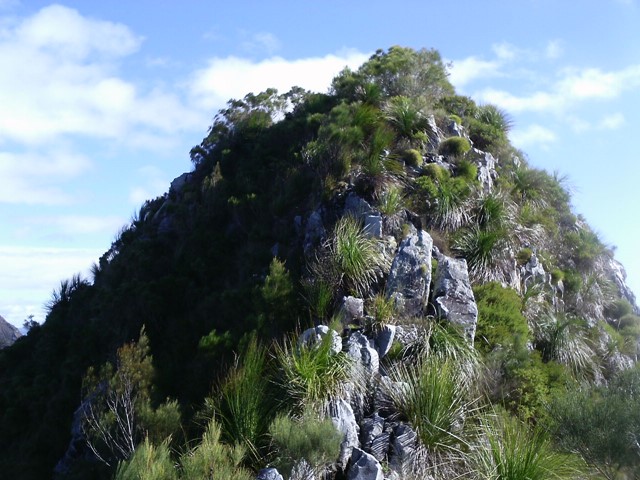
Mt Coochin (East and West Peaks)
This is a great scramble on a pretty twin peak mountain, with some outstanding views of the Glass House Mountains region to the south and the Brisbane CBD in the far distance.
 3
hrs
3
hrs
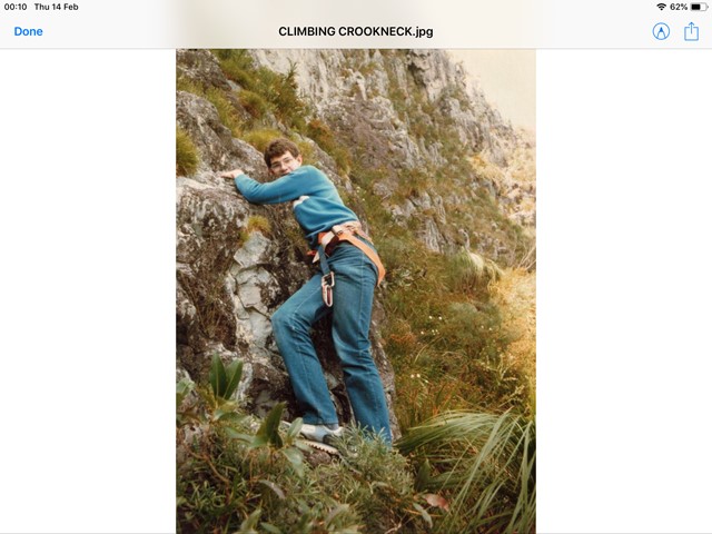
Mt Coonowrin
Access to this mountain is closed. Significant penalties apply to anyone found on this mountain without a permit. It is unclear on what grounds a permit may be granted, but if one can be obtained, the previously established route would likely have disappeared.
 3
km
return
4
hrs
3
km
return
4
hrs
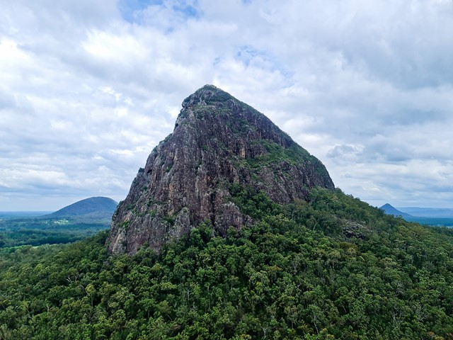
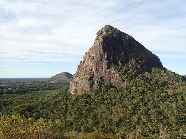
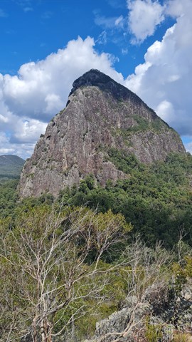
Mt Coonowrin Summit
This climb has been closed since the late 90's when I last climbed this mountain.QPWS have banned public access to Mt Coonowrin due to unstable rock and safety concerns. I have included these notes in the hope that QPWS will one day reopen this mountain.
WARNING: Any one caught walking or climbing this mountain faces a minimum $440 fine.
This track requires rock climbing experience and is extremely exposed and WILL result in death or serious injury if attempted by the inexperienced.
 1.7
km
return
75
mins
1.7
km
return
75
mins
Mt Elimbah (The Saddleback)
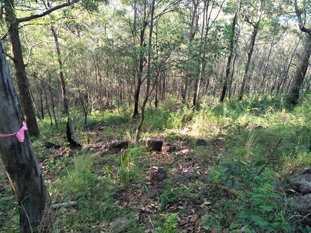
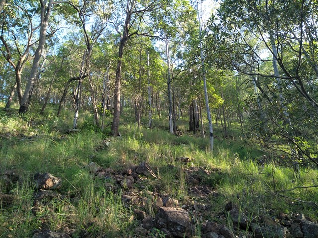
At only 120m high this is an easy climb to the top of one of the two most southerly of the Glass House Mountains. The terrain is mostly rocks with grass or dense bush but has a surprisingly good 360° view from the top.
 1.2
km
return
75
mins
1.2
km
return
75
mins
Mt Miketeebumulgrai
Mt. Mike as it is known is twice as tall as its neighbour Mt Elimbah with a fast but steep ascent through eucalypt forest nested on scree and leaf litter-covered slopes. The views from the top are not great but what can be seen is the extensive horticulture on the plains below, particularly of strawberries and pineapples.
 2.8
km
return
90
mins
2.8
km
return
90
mins
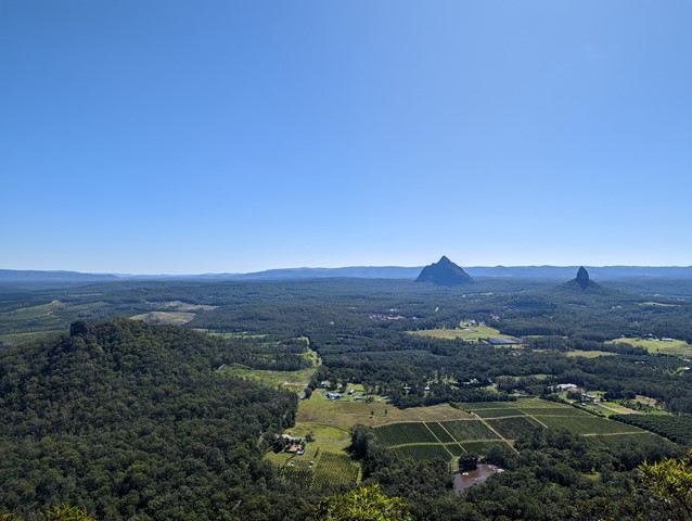
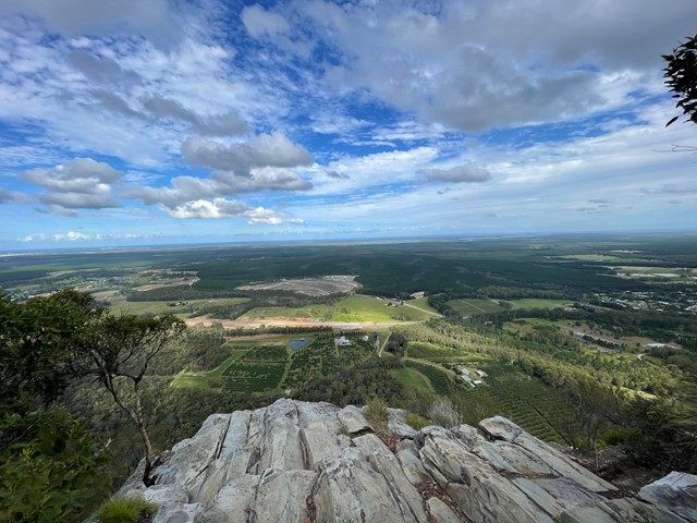
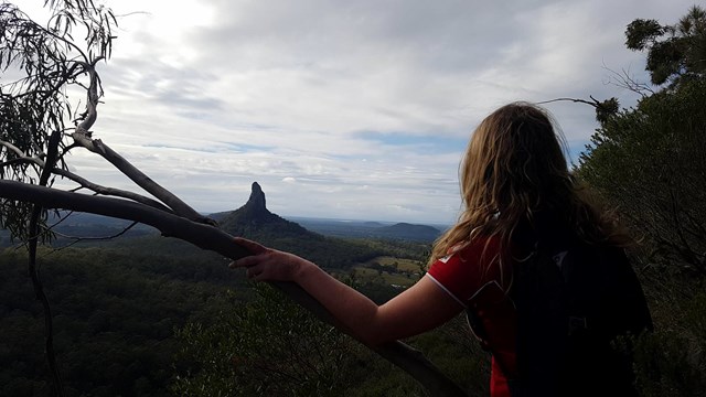
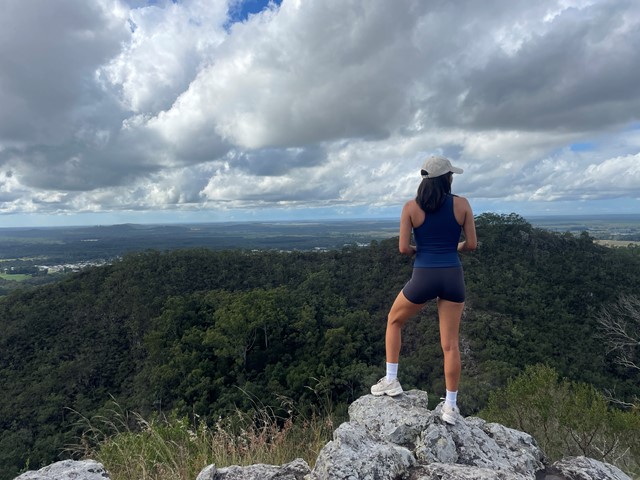
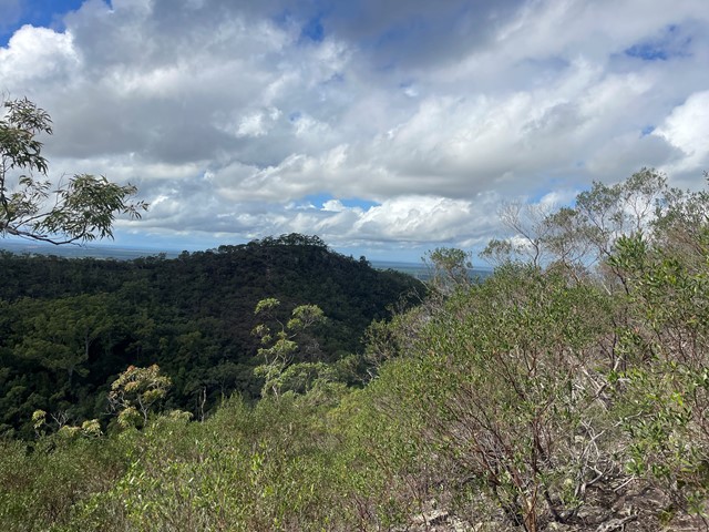
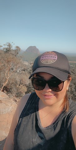
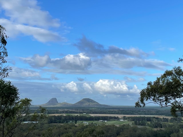
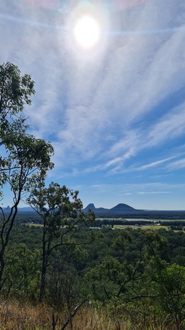
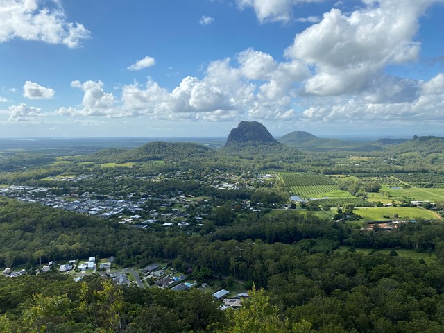
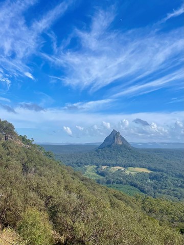
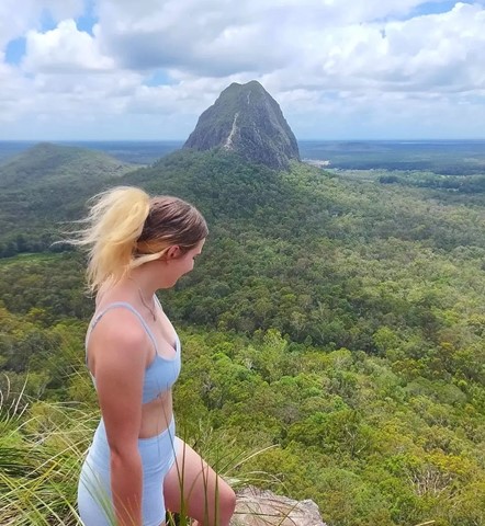
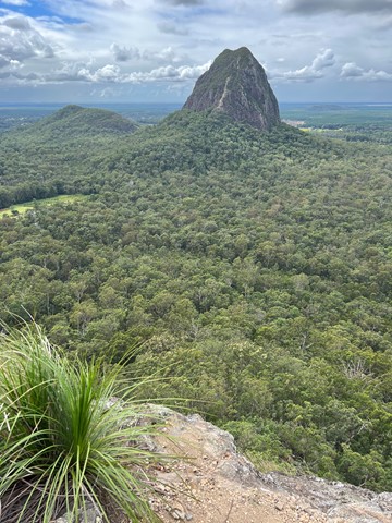
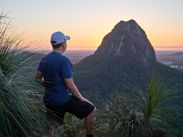
Mt Ngungun
Mount Ngungun (pronounced 'noo noo')but generally known as "Gun Gun" is a very popular hike due to its relative ease and fantastic views. Traditional owners have asked that this mountain not be climbed.
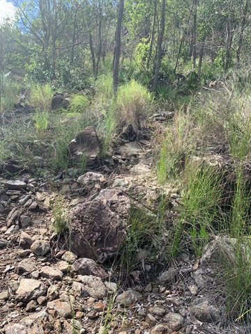
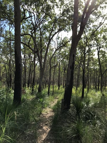
A well defined graded track with some steep sections. The track begins in open forest with a fern understory. Part way up the mountain, there is a great view of Mt Tibrogargan as the track passes a small rock overhang. The summit provides spectacular close-up views of nearby Mt Tibrogargan, Mt Tibberoowuccum, Mt Coonowrin and Mt Beerwah.
 1.7
km
return
1
hr
1.7
km
return
1
hr
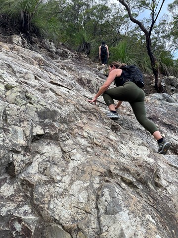
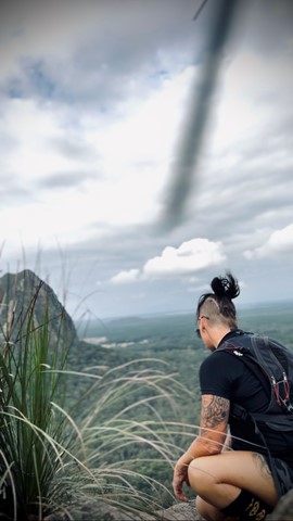
Mt Tibberoowuccum
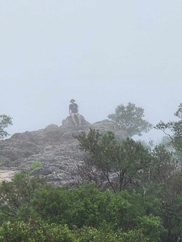
A steep walk to the summit of the mountain, a bit of an uneven but level scramble along the ridge for about 50m with a small 6-8m steep scramble to get to the peak at the end of it. Summit has spectacular views of the surrounding mountains and north to the Sunshine Coast. There are two alternative tracks which meet at the the top of the ridge at a point where an arrow painted on a rock directs you along the ridge to the summit. Take care as both tracks can be slippery after rain due to wet clay/ tree roots and loose shale at the top of the tracks can be a concern in any weather as well.