Queen Mary Falls Circuit

Main Range National Park

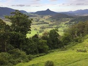
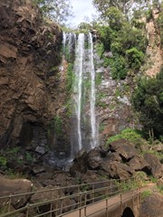
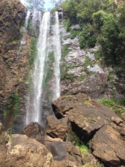
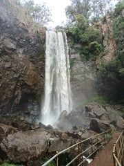
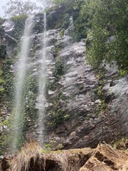
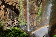
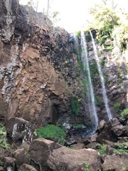
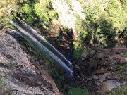
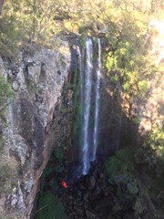
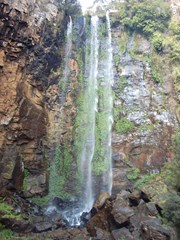
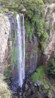
From the Queen Mary Falls lookout, watch Spring Creek plunge over the 40m Queen Mary Falls to continue its twisting journey down the valley floor to join the Condamine River. On a summer's day take time to pause for a moment to feel the waterfall's cool spray.
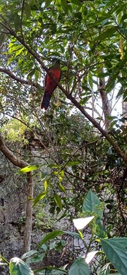
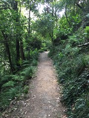
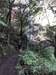
There are often water dragons sunbaking on rocks around the valley floor and the track goes through plenty of ferns and native Australian trees.

Waterfalls
Lookouts
Picnic Facilities
BBQ
Toilets
No Dogs Permitted
Camping Permitted
Rainforest
903m
Maximum Elevation
77m
Total Climb

Getting There:

From Boonah (64km) take the Boonah/Rathdowney Road south before turning right into Carneys Creek Road and right again into The Head Road, which becomes  Spring Creek Road.

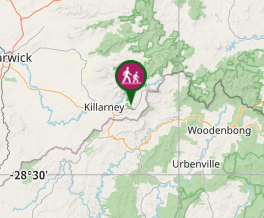
From Killarney (11km) take Acacia Street onto Border Road and then turn left into Spring Creek Road.

The approach from Boonah is very steep and should be travelled with care. It is unsuitable for caravans.

Maps:

Queen Mary Falls

Route/Trail Notes:

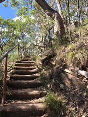
Circuit can be walked either way, one section includes a lot of steps.  If it has been very wet in the area, the area at the bottom can become slippery as a mist from the falls covers this area.

Do not attempt to cross when in flood or if water covers the causeway.

Permits/Costs:

None

Other References/Comments:

Picnic tables, wood-fired barbecues and free electric barbecues, toilets are provided.

For safety reasons the track is closed following periods of heavy rainfall due to potential rock falls.

Comments

Comfortable walk and very scenic.

Nagle Clan on 11 Aug, 2011

Great walk for the entire family ..

DrummerJeff on 7 Nov, 2010

Falls are very nice and walk is interesting through the different ferns and native trees.

Belinda Cruickshank on 27 Dec, 2008

Awhile back but nice walk

drewmac on 14 Jun, 2008

Lovely walk. Does get very cold at night in this area.

Grumps on 13 Dec, 2006

Been to the falls a few times over the year, the last of which was showing visiting friends from England around the area. Judging by the photo, it must have been English weather as well!
Interestingly, nearby Daggs Falls was named after my housekeeper's great grandfather, who was the postmaster in Killarney.

F.A.B. on 7 Aug, 2004

A lunchtime pit stop for a couple of walk when travelling from Gatton to Byron Bay.

F.A.B. on 2 Oct, 2001

Nice walk, stayed at the campground across the road

Walkinghawk on Apr, 2000

A must do...

Mackamcb on Sometime...

Nice short walk with beautiful up close view of the waterfall.

Caitlin on Sometime...

Where

Click here to load this map.

Nearby Walks

Done this walk?

This walk has been ticked 177 times

Aussie Bushwalking can keep track of your bushwalks.

Login/signup to tick this walk off.

Tick walks to keep track of where you've been. You must Login to tick walks. Accounts are 100% free so sign up if you don't have one.