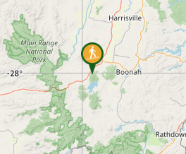
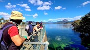
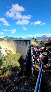
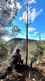
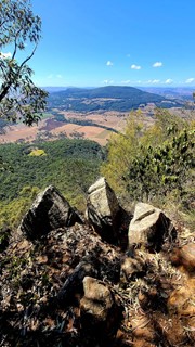
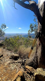
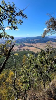
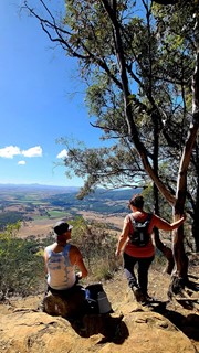
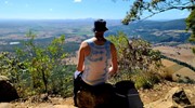
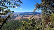
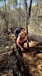
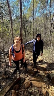
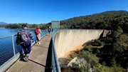
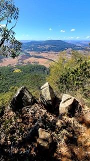
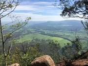
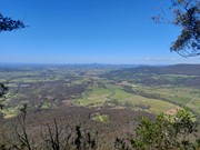
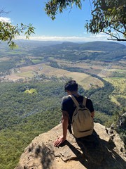
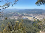
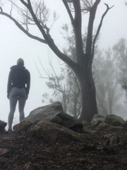
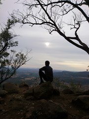
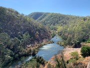
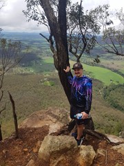
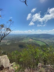
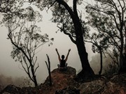
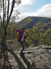
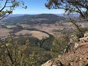
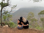
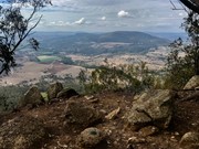
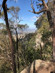
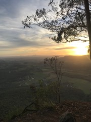
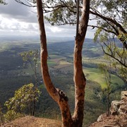
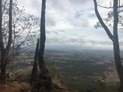
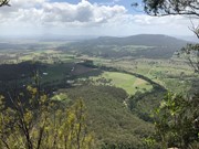
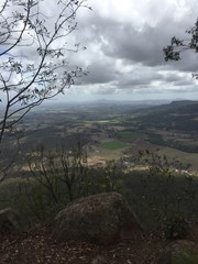
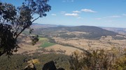
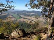
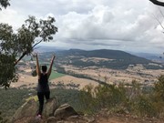
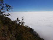
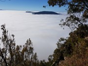
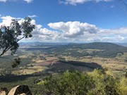
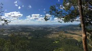
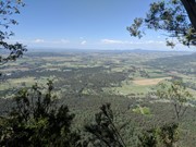
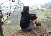
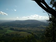
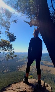
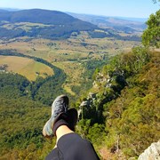
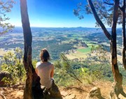
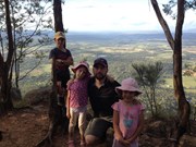
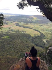
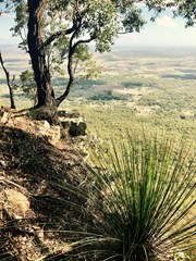
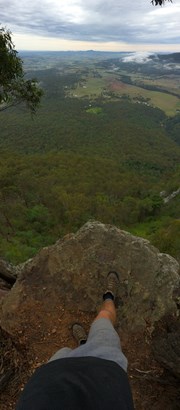
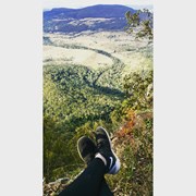
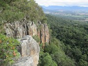
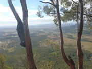
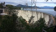
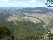
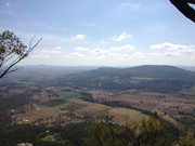
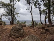
This hiking track takes you to the summit of Mt Edwards, the taller, conical-shaped peak beside Moogerah Dam. This trail crosses the dam wall then leads to the top the mountain with an elevation gain of almost 500m to really get your heart pumping. There is a lookout part-way up the track with views of Little Mt Edwards/Reynolds Creek below the dam wall, while the lookout at the summit faces north-east towards Brisbane and the Fassifern Valley.

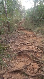
Officially listed as Grade 5/Very Hard difficulty (unsigned trail, loose/rocky surface, some tree falls/overgrown sections + steep incline), this trail is suitable for walkers with a moderate-high fitness level who are confident and well prepared (wear appropriate shoes, take plenty of water etc.).

Lookouts
Swimming
Picnic Facilities
BBQ
Toilets
Scrambling or Climbing
No Dogs Permitted
Eucalypt Forest
631m
Maximum Elevation
521m
Total Climb

Getting there

Follow the Cunningham Highway towards Aratula. Follow the signs to Moogerah Dam by turning onto Charlwood Rd, then right onto Lake Moogerah Rd. Continue for 2.7km then turn right onto Moogerah Connection Rd toward Fred Haigh Park. Park near the dam wall. Note: The roads to Moogerah Dam are sealed and suitable for 2WD, but they are also winding, busy at peak holiday times and often have water damage/livestock crossing on the road - take care.

Maps


Route/Trail notes

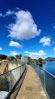
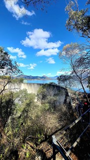
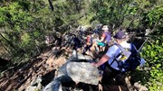
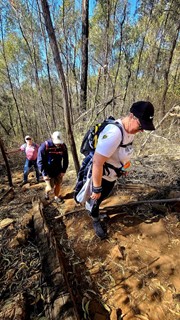
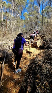
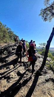
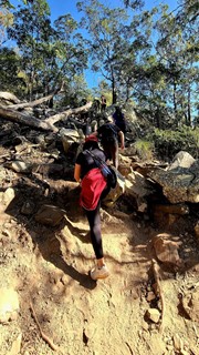
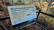
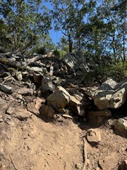
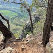
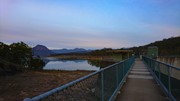
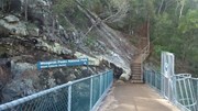
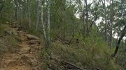
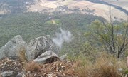
Walk across the dam wall and up a flight of steps to find the beginning of the track. The track is unsigned but well-used so it is clear to follow without a map. The hike to the summit can be divided into three parts. The first part is gradual rise to a rocky slab with good views of Little Mt Edwards and the gorge between them containing Reynolds Creek - be careful near cliff edges. The second section is steep, with larger boulders forming natural steps and lots of loose rocks so care is needed. The final stretch to the summit is a gradual rise again for about 600m, where the path may be overgrown with lantana. Once at the top you can explore left and right for different lookouts offering many vantage points (towards Brisbane - no view of the dam).

Permits/Costs

No costs required

Other References

http://www.nprsr.qld.gov.au/parks/moogerah-peaks/about.html#Mount_Edwards_summit

p244 Take a Walk in South East QLD ISBN 9780957793170

GPS Tracks

Comments

Not nearly as hard as Mt Greville, but still challenging.

Ian and Sue on 20 Oct, 2012

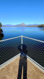
Jacked up on cold and flu tablets and not wanting to be bored at home decided to this walk today, great view of Mt Greville across the dam, enjoyed the walk across the dam wall, then the walk begins not to bad compared to the other peaks and mountains in the area, but even thought it was cool and breezy I was sweating like crazy this wasn't good particularly when your sick, got to the top of Mt Edwards and quickly took my soaking wet shirt of and rugged up in two fleeces as it was cold and windy on top, spent about an hour and half up the top exploring and chasing the sun to find I spot to sit, had lunch and drank the remainde of my water, hmmm I was quiet slack today and didn't fill the Camelbak and only had 750ml for the entire walk..but really that was all I needed, and enjoyed not having to carry the extra weight, but I can see in summer and warmer months you would need a little bit more then that, anyway I hope today doesn't make me any sicker then I am hopefully the fresh air and the sweating was good for me. One more peak down and a few more to go....

Walkinghawk on 21 Jul, 2012

Surprised by the large amount of children on it! Also a lot of people without much gear.

Allan Allport on 7 Apr, 2012

Great walk, top views, did it for fathers day, liked the flood levels marked on the dam wall

drewmac on 4 Sep, 2011

Great outlook at the top. The QPWS booklet says it's 2hrs return, but I think the 4hrs on this site is closer to the mark, if a little generous.

jmetcher on 7 Aug, 2011

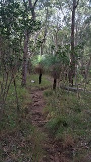
We had been told this was a very nice walk, and we were quite pleased! Very interesting crossing across to top of Moogerah Dam. The trail was well marked, and there is a section with some very impressive grass trees.

RobboShoe on Apr, 2011

After the wet summer, the Lake was the highest I've seen it with water flowing over the dam spillway. Was a pretty humid climb up but the view was well worth it. If doing it in summer, you need to take plenty of water.

Sandra Godsell on 27 Feb, 2011

A great walk took the kids up. Although the high stepping rocks were a challenge for 5 year old legs. Unfortunately could hear the speed boats most of the way.

Laurence Hallam on 17 Oct, 2010

Did this on the same day as Mt. Mitchell which made is quite hard as it is actually fairly steep, and a leg burner and I wasn't expecting it to be as hard. Good views over the countryside and Mt. French. It is a nice walk followed by a picnic by the lake

luke Jackson on 10 Jul, 2010

A good walk kids did it great views!

Laurence Hallam on 24 May, 2010

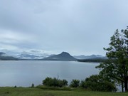
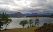
After a nice drive from Brisbane we arrived at the Lake Moogerah great views out over the water towards Mt. Greville. As we prepared for the walk checking maps etc. Then we made our way across the Moogerah Dam wall.
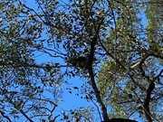
Next the track continued up hill.From as soon as you enter the bush there are plenty of spiderwebs the entire way up. I would say at least every 2m maybe it has been a while since walkers were last up this way.
So grab a stick or use your walking pole out in front of you and just push the webs down. (On our way back down later that day there were webs back up again.... those spiders are hard workers)
On our way up we were stopping at every 100m meters elevation for a drinks break. Due to the steepnes of the walk we ended up drinking alot of water.
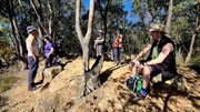
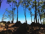
At the top of the mountain there is a survery marker as well as an older marker from the '70s. From the centre there are great views of the surrounding countryside if you do a little of exploring of the top you can find some hidden lookouts with views as well.
After some lunch at the top and allowing time for our wet clothes to dry we made our way back down. What a great day and walk.

You must do it someday.


Another day.... Another walk

Boris Zoubakin on 13 Apr, 2010

nice walk - beautiful views along the way. gets the heart pumping everytime I do it...have done it quite a few times over the years and always enjoy it and well worth the effort

kyiee81 on 2010

Highlights on this walk are crossing the dam wall and the view at the top, otherwise the track is fairly ho-hum and very easy.
Last did this one about six years ago.

exo karpos on Sometime...

Where
Click here to load this map.

Nearby Walks

Done this walk?

This walk has been ticked 410 times

Aussie Bushwalking can keep track of your bushwalks.

Login/signup to tick this walk off.

Tick walks to keep track of where you've been. You must Login to tick walks. Accounts are 100% free so sign up if you don't have one.