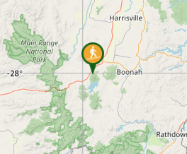
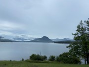
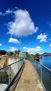
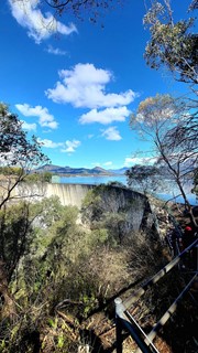
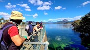
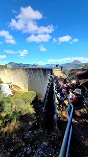
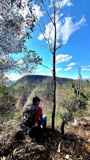
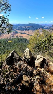
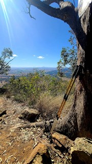
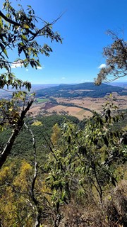
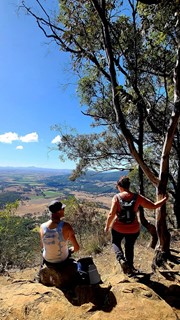
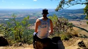
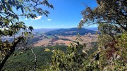
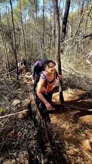
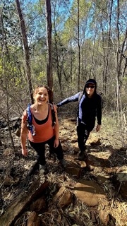
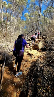
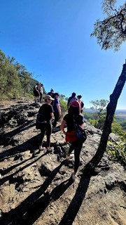
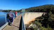
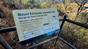
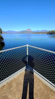
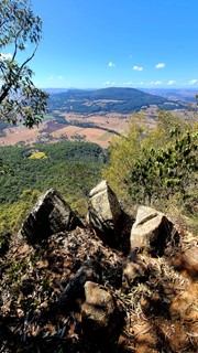
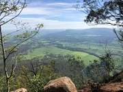
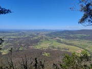
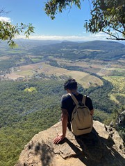
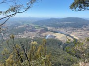
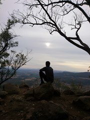
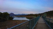
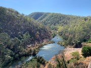
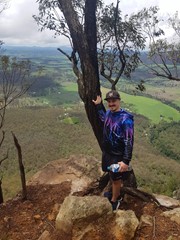
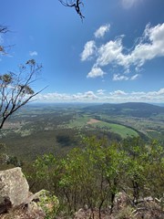
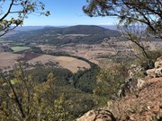
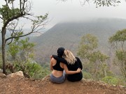
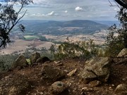
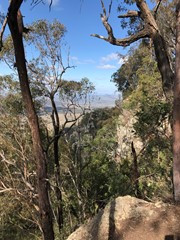
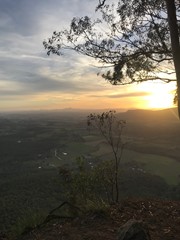
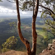
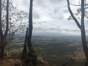
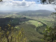
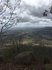
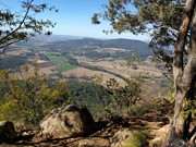
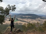
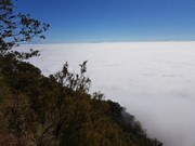
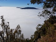
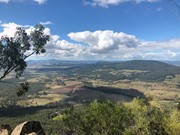
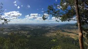
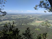
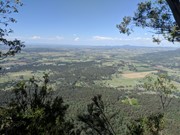
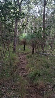
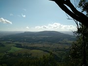
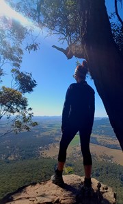
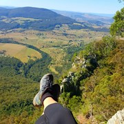
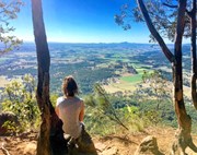
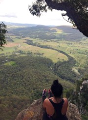
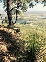
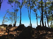
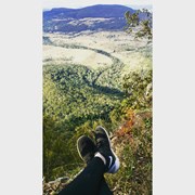
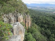
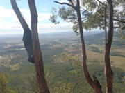
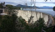
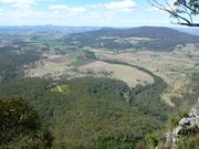
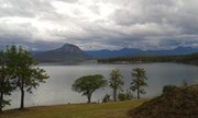
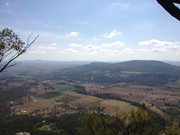
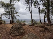
This hiking track takes you to the summit of Mt Edwards, the taller, conical-shaped peak beside Moogerah Dam. This trail crosses the dam wall then leads to the top the mountain with an elevation gain of almost 500m to really get your heart pumping. There is a lookout part-way up the track with views of Little Mt Edwards/Reynolds Creek below the dam wall, while the lookout at the summit faces north-east towards Brisbane and the Fassifern Valley.

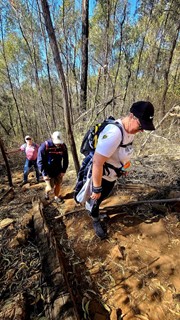
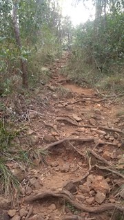
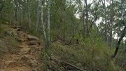
Officially listed as Grade 5/Very Hard difficulty (unsigned trail, loose/rocky surface, some tree falls/overgrown sections + steep incline), this trail is suitable for walkers with a moderate-high fitness level who are confident and well prepared (wear appropriate shoes, take plenty of water etc.).

Lookouts
Swimming
Picnic Facilities
BBQ
Toilets
Scrambling or Climbing
No Dogs Permitted
Eucalypt Forest
631m
Maximum Elevation
521m
Total Climb

Getting there

Follow the Cunningham Highway towards Aratula. Follow the signs to Moogerah Dam by turning onto Charlwood Rd, then right onto Lake Moogerah Rd. Continue for 2.7km then turn right onto Moogerah Connection Rd toward Fred Haigh Park. Park near the dam wall. Note: The roads to Moogerah Dam are sealed and suitable for 2WD, but they are also winding, busy at peak holiday times and often have water damage/livestock crossing on the road - take care.

Maps


Route/Trail notes

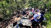
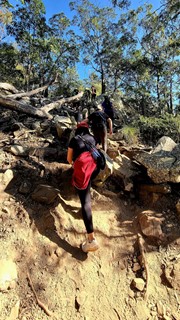
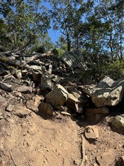
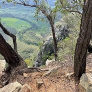
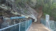
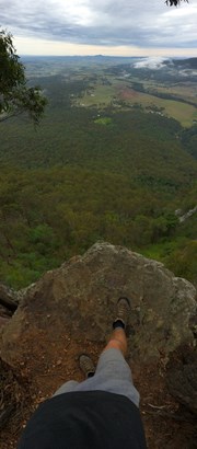
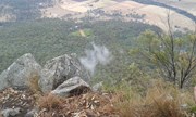
Walk across the dam wall and up a flight of steps to find the beginning of the track. The track is unsigned but well-used so it is clear to follow without a map. The hike to the summit can be divided into three parts. The first part is gradual rise to a rocky slab with good views of Little Mt Edwards and the gorge between them containing Reynolds Creek - be careful near cliff edges. The second section is steep, with larger boulders forming natural steps and lots of loose rocks so care is needed. The final stretch to the summit is a gradual rise again for about 600m, where the path may be overgrown with lantana. Once at the top you can explore left and right for different lookouts offering many vantage points (towards Brisbane - no view of the dam).

Permits/Costs

No costs required

Other References

http://www.nprsr.qld.gov.au/parks/moogerah-peaks/about.html#Mount_Edwards_summit

p244 Take a Walk in South East QLD ISBN 9780957793170

GPS Tracks

Comments

Good cardio hike for about 1 hour. Easy to follow path up. Nice views from the top and the Dam at the base looks gorgeous.

agms on Jun, 2015

Thought this was quite an easy walk especially for the payoff (1hr up, 40m down). Views were far better than expected!
From the top we looked to a rocky outcrop possibly 50m away and saw this tiny rock wallaby perched there. No clue how it got to that height or how it was going to get down but it was nice to watch it watching us unafraid :) A lot of wildlife at the top.

Alice on 11 Apr, 2015

Long steep walk but pretty views at the top.

fitchick_on_crutches on 29 Mar, 2015

Solid, continuous climb but nice views on top.

Richard Mason on 29 Mar, 2015

Good view at the end. An hour and a half up, an hour down.

Steven Pynor on 29 Mar, 2015

1.5 hours to reach the top. Spectacular views!!! Not a bad walk at all but glad we left the dam at 0600

Kate on 17 Jan, 2015

The dam wall is currently locked around the clock due to some construction work being carried out, though we did not find out for how much longer. We subsequently gained access to Mt Edwards via Ski Zone Rd. The easiest way to the top from here is to get to the dam wall first by finding tracks that more or less handrail the waterline, then taking the established track.

badgerops on 3 Sep, 2014

Commenced the walk to the top of Mt Edwards at 11:00 and arrived at the peak at 12:15. Descent only took 50mins. It can be slippery due to small rocks and inclination

Great views from the top and great place to have lunch under the shade of the trees on the edge.

A fair few downed trees on the way up but nothing severe. Track was easy enough to follow.

Cheers

Matt

Matt on 30 Aug, 2014

Good view, make sure you get back by 6pm cause the gates close then.

rob.bushman on 26 Jul, 2014

The walk was challenging for me but it's worth it as the view at submit was magnificent!!!!

Harry on 26 Jul, 2014

Walked with Bill. White Napped Honey Eaters. Golden Whistler at the very top. Great View. Excellent walk.

Mick on 19 Jul, 2014

A delayed start due to car trouble meant that my 8 year old son and I didn't get to start the walk until 2pm. We made it about 3/4 of the way up before time and the little man's legs called us to an early finish. We're both keen to go back again earlier like we had originally planned and take our time to finish it.
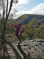
The rocky outcrop about a third of the way up is an amazing place for a rest.

mattyc on 21 Jun, 2014

With my grandson and partner, this was a challenge as the mercury headed to 36C.
The start is seductive, but the 90mins of steady climbing is draining and the summit welcome. The view is spectacular, but hazy on this visit.

Peter Horler on 16 Feb, 2014

A good mountian hike for those not wanting any Rock Scrambling etc .. A few sections are steep enough to let your calf muscles know they're working quite hard .. but the view at the top is certainly worth the effort !

DrummerJeff on 2 Feb, 2014

My husband and I did this walk on a hot and humid summers day, which made it especially tough work. Great walk well worth the view, the track was in good condition but we only saw two other groups walking it and had the summit to ourselves for lunch.

Searley_Bear on 19 Jan, 2014

We thought we would start the New year with an energetic walk up Mount Edwards. We found the walk pretty tiring in some parts as we were walking just shy of lunch time and it was pretty hot! However, after sweating through the last K or so the end result was well worth it! Absolutely beautiful view from the top once you emerge from the canopy of trees! Well worth it. :-)

Ella Raymond on 1 Jan, 2014

First walk on my own.. Soo good.. Stunning views!

Julz84 on 27 Dec, 2013

beautiful day, with excellent views. some fallen trees over the track but other wise the track was in good condition

Tristan Young on 15 Dec, 2013

We live in Aratula and walk up Mount Edwards quite often. Last Sunday we decided to do Mount Edwards and Mount Greville. We were on the Moogerah Dam wall at 6.30am, and back at the car park by 9am. We had a nice breakfast at the picnic tables at Moogerah, and drove to Mount Greville where we started out at 10am. We walked up Palm Gorge, and were up the top by 11, after stopping a few times to bring the heart rate back down, resting at the top for a bit, and back down Palm Gorge. By 1pm we were back in Aratula. We didn't see anyone on Mount Greville, and only 3 at Mount Edwards. Doing both walks together wasn't easy, but it felt great to have achieved it. Looking forward to going to Mount Barney soon.

Kerri on 1 Sep, 2013

A nice challenging walk to get the blood pumping. Would hate to do it in the wet with slippery rocks and sticky mud. Following the bush fire, heavy rains and winds there are a lot of trees fallen across the track. It has not been cleared for some time but not hard to get around or under them. Just watch your head! Great view from the top. 1hr 15 mins each way at an easy pace.

Cookie on 8 Apr, 2013

Where
Click here to load this map.

Nearby Walks

Done this walk?

This walk has been ticked 410 times

Aussie Bushwalking can keep track of your bushwalks.

Login/signup to tick this walk off.

Tick walks to keep track of where you've been. You must Login to tick walks. Accounts are 100% free so sign up if you don't have one.