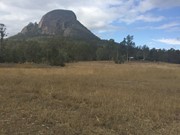
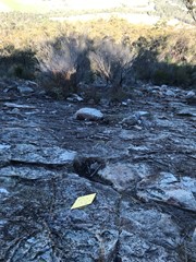
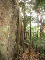
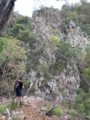
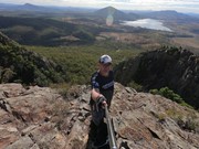
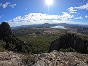
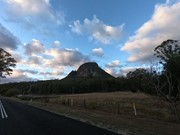
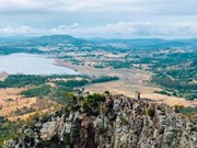
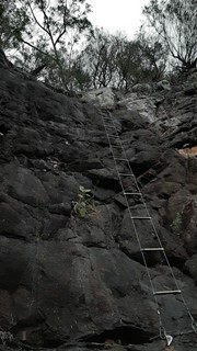
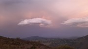
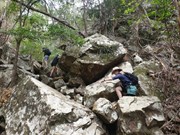
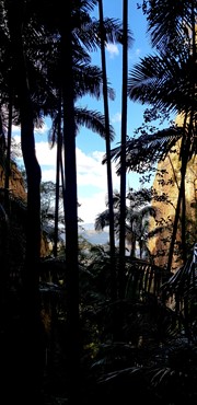
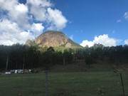
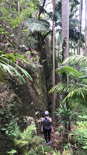
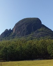
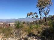
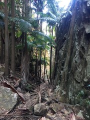
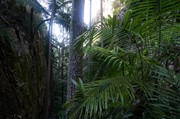
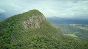
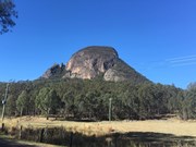
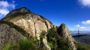
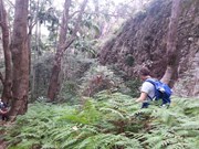
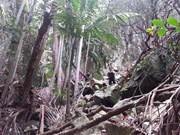
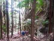
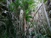
A walk up to the top of Mt Greville circa 770m. Up the waterfall gorge, then visit viewing platform rock slab near top of waterfall gorge. Alternatively, ascend via SE Ridge. Continue to summit then return via Palm Gorge.

Waterfalls
Lookouts
Bird Watching
Scrambling or Climbing
Navigation Required
No Dogs Permitted
Eucalypt Forest
767m
Maximum Elevation
610m
Total Climb

Getting there

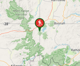
 From Aratula drive towards Cunningham's Gap and turn off at the Spicers Gap Rd. Follow this road for about 8 km( it does become dirt for a while) then turn into Mt Greville Rd find the start after about 800m driving or so along Mt Greville Rd.

Maps

Sun maps Mt Edwards

Route/Trail notes

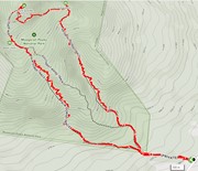
From the gate walk uphill to the sign posts about 400m, there are three alternatives Waterfall Gorge, South East Ridge and Palm Gorge. This walk goes up SE Ridge and comes down Palm Gorge.

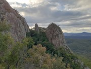
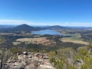
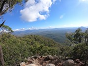
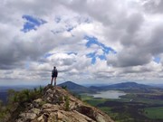
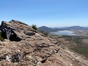
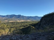
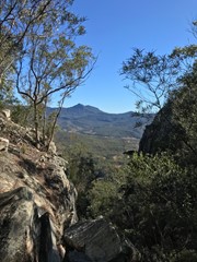
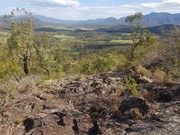
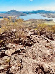
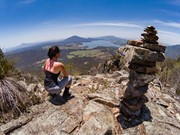
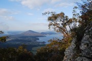
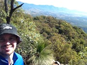
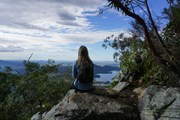
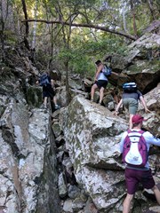
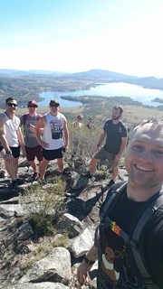
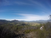
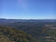
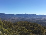
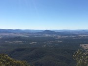
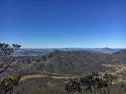
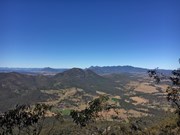
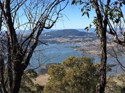
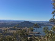
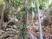
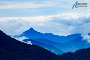
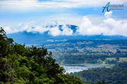
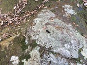
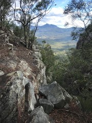
Follow the rough track up SE ridge lots of scree at the bottom and a few cairns on the way up. There are some rocky slabs to scramble on and through and if you lose the rough trail then keep heading up through the grass trees. Eventually you will come to a second wide rocky slab with great views of the southern Fassifern valley and the southern Mountains of the Main Range, Mt Ballow, Mt Barney, Mt Edwards, Mt Moon, Mt Maroon and Moogerah Dam. There is a lower rocky slab with the same view. Keep tracking up to the left through the Grass Trees till you enter forest again near another cairn note a well trevelled footpath that descends into Palm Gorge, it is about 30m up from the cairn for easier access. Keep following the trail up hill to the summit where there are good views to the North and views of the Ramparts of The Main Range and Mistake and Little Liverpoool Mountains.

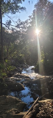
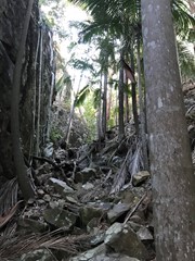
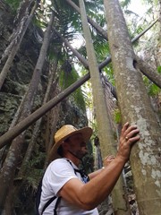
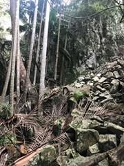
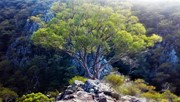
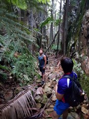
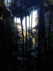
On the Descent look for a rough trail that heads up hill about 10 min from the summit. it leads to the head of a steep rocky Gorge that has a stunning view of Spicers Peak framed in its middle. About 10 min again from here locate the cairn and footpad that descends into Palm Gorge. Just keep following this down and take your time. There are loose rocks and slippery palm fronds on the ground but is well worth it. Pictures are necessary just to prove how beautiful this place is. Follow the rough footpad all the way back to the signposts and turn downhill to the carpark.

Altenate walks can include going up Waterfall Gorge and Traversing to the start of Palm Gorge across the Rock slab very enjoyable after summitting!

Permits/Costs

There is no camping in the Park.

Other References

Take A walk in the Sout East Queensland ; Chapman.

Comments

Nice place. I went up Palm Gorge and returned via SE Ridge Track

Glenn on 26 May, 2019

Great walk with my two teenage boys. Came down the palm gorge which is very cool. Got a little lost at the end but ended up finding the trail agin.

Ben Farley on 18 May, 2019

Did the classic: up SE Ridge and down Palm Gorge. Nice views on the way up. Palm Gorge is very pretty. Overall this is a very nice walk.

Brendan on 29 Apr, 2019

Decided to go up via Palm Gorge and descend via SE ridge. This is a really fun hike and I definitely recommend going up and down via different routes as you really get a different experience.

The track is fairly well defined although SE Ridge can be tricky as there are very few arrows to guide you. I would recommend some sort of GPS to avoid losing the trail.

DanielYNWA on 25 Apr, 2019

Dont underestimate this walk! It is very steep with loose gravel, and you have to scramble up rocks in numerous spots. The track also goes close to cliff edges- avoid if not good with heights! A challenging walk but the track is easy to find. Where there isnt a footpad there is white string tied on trees (april 2019).
Mittens83 on 23 Apr, 2019

A fun walk! Went up palm gorge and back down South east ridge.

Palm gorge wasn't too hard to navigate. Just look for the white tapes on the trees. After exiting the narrow gorge, the path is well defined all the way to the summit. Great views to the north and west.

South East Ridge was cool, windy and well defined. I stopped for the amazing views of Mt Moon, Mt Maroon, Mt Barney and Mt May. Easy on the way down.

In total; 2 hours going up, 1.5 hours coming down.

0zzyDave1234 on 20 Apr, 2019

Loved this hike! We went up South East Ridge and down Palm Gorge. SE Ridge began as a steep bush walk and later cleared to a bit of a scramble and stunning views. Coming down Palm Gorge was totally different surroundings and really neat- felt like two different hikes. When we were there, there was white strings tied around trees and bushes to help mark the trail; that said, the directions above were great. A little over two hours with a snack break. Definitely not a hike to be missed!

Hannah on 19 Apr, 2019

There are three ways to go up and down, but make Palm Gorge one of your choices - it has an other worldly, eerie quality and is really something to see.
If you go up and down the gorges there is heaps of rock hopping - so bring the poles if that's your thing.
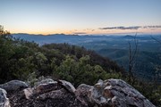
The best views are just below the summit on the north side near a wide open cairn.
It took my moderately fit body just over 4 hours, with breaks.

Jimmy H. on 13 Apr, 2019

Up palm gorge and got lost trying to head down waterfall gorge. So ended up finding my own way and hooked back onto palm gorge track to head down. Great mountain but for those that don't have good navigation skills could easily lose your way. Wonderful views at top and gorge is amazing. Up and back in 2hrs flat.

JJandcaz on 10 Feb, 2019

Bloody hot

JakeTheHiker1 on 9 Feb, 2019

I went up and down SE Ridge. Great views from the rocky slab, not sure I'd worry too much about heading up further to the summit again, views are nearly as good, but still nice to have done that. Saw a glider (not sure which sort, too dark), wallabies and some wrens. Good challening walk.

Tanya on 19 Jan, 2019

I found this a hard hike. But the view was amazing looking out to Moogerah dam

HelenR on 13 Jan, 2019

Walked up Waterfall Gorge then to the summit, and down SE ridge. It was incredibly dry but as beautiful as always.

Dan456 on 6 Jan, 2019

Easier than I remember - or maybe I’m fitter.
Up waterfall gorge for the gorgeous views from the rocky slabs.
Down palm gorge which is like waterfall gorge without the views.
Saw people with two dogs - SO frustrating to see dogs in a national park 😡

Juiced Pixels on 25 Nov, 2018

You can tell by how many times this trail has been ticked that this is one of the faves in SE QLD. We haven't done tonnes but it would be in our top three for sure.
The drive from Brisbane was straightforward and finding the car park was easy.
I had enjoyed a few brown lemonades the night before and let me tell you that it didn't help on a day that hit 37 degrees. You gain elevation very quickly though Palm Gorge but the views at the top are fantastic.
We stopped off in a few spots as you'll probably see in the GPX file 'Up Palm Gorge down Waterfall Gorge'. Great views off west where we hit a little trail just before the summit. 605m if you check that file.
Views from the summit where the large cairn is located are fantastic but we all agreed our favourite views were from High Point Lookout on the way down. Hard to miss as you make your way down, traverse east and you'll see a large rocky outcrop which has fantastic views of some of the rock formations you could see on the drive in. If we weren't frying like eggs we probably would've chilled out there for a bit but with little shelter we pushed on. Definitely on the list for a winter morning.
We descended Waterfall Gorge to stay out of the sun on the SE Ridge. It helped a lot but ran into a group who were throwing huge rocks down the trail even after we passed them. Intelligent.
Followed that to the bottom to where the small waterfall is got some photos before scrambling up a small wall to meet up with the trail near the first junction.
All in all a great hike but I wouldn't do it on a day like that again. Couldn't even eat my Aratula pie! Unbelievable.
Oh, bring some repellent. I was bitten by a tick on this walk. Had to see the doc for some antibiotics.
Looking forward to cooler weather so we can do the SE Ridge.

Kingi on 6 Nov, 2018

Went with a group, up palm grove and down the SE ridge. Great variation in the hike, superb views at the top. Not too long either.

Caro on 27 Oct, 2018

Awesome climb! We made it to the top in about 1 and a half hours, then back down in about half an hour. Had a little trouble when we got to the halfway point because the track disappeared, but found it again with no hassle.

Michael Richards on 20 Oct, 2018

This was my second time on this walk. I decided to go up Palm Gorge, have a rest on the exposed rock plateau then on to the top. I then returned via Waterfall Gorge. A few steep sections but relatively easy walk. The gorges are beautiful and cool. I will do this walk again.

Brian on 10 Oct, 2018

I went with a group from the FB group Brisbane Hiking and Adventure Crew. We went up the Waterfall Gorge Track and down the Palm Gorge Track. On the way up Waterfall Track we ended up going off track and climbing the side of the gorge. It was possible to scramble to the top but we climbed back down to the gorge due to safety concerns.

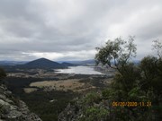
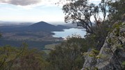
The views of Lake Moogerah were simply spectacular from the lookout you pass once you exit the gorge. Well worth the extra effort to complete the Waterfall Gorge Track just for this view.

Not an extremely difficult walk technically (lots of loose rocks, some minor scrambling) but was more tiring then I thought it would be.

Blackthorne on 1 Oct, 2018

What a wonderful walk. We went up the Palm Gorge and attempted to go down Waterfall, but got a bit lost on the slopes and ended up going down SE Track. Despite this setback, it was a wonderful walk and one we will do again.

eiscaer on 29 Sep, 2018

Where
Click here to load this map.
Nearby Walks

Done this walk?

This walk has been ticked 330 times

Aussie Bushwalking can keep track of your bushwalks.

Login/signup to tick this walk off.

Tick walks to keep track of where you've been. You must Login to tick walks. Accounts are 100% free so sign up if you don't have one.