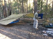
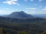
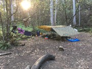
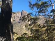
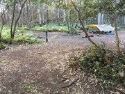
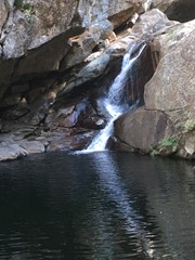
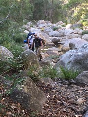
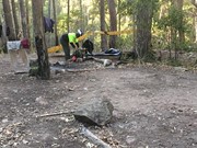
There are two ways to do this walk. The first one is to hike back up to the top of the ridge and follow it along to reach Yamahra creek camp. The second way which is the way we went was to follow the creek and rock hop your way, there are some pros and cons to this as the views are amazing and the scenery spectacular, there are some sections which are a bit challenging as they require some small rock climbing skills and are made more difficult if your carrying a large pack. Before you get to the upper portals you have to break track back up the ridge to your right as you cant get around the portals. From there you follow the track over the ridge and down the other side and descend to the Yamahra creek campsite. this campsite is close to running water in the creek, as you walk towards the creek take the left turn and water is about 200m away.
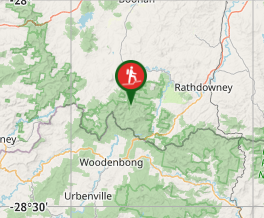
Getting there
From the Lower portals through to the Upper portals
Maps
Which maps cover the area?
Route/Trail notes
Rocky creekbed with alot of rock scrambling
Permits/Costs
Only if you stay overnight at the designated campsites, obtain a permit from QPWS
Other References
How can I find more info? Any guide books?
GPS Tracks
- No GPS available for this walk yet.



 ??
?? ??
??
Comments