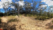
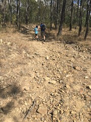
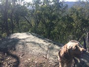
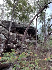
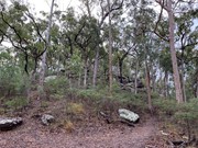
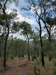
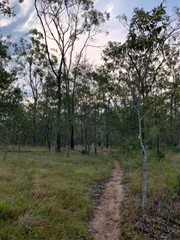
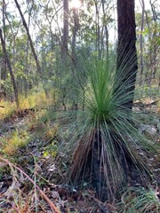
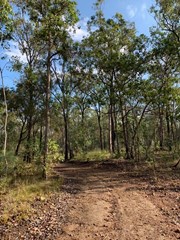
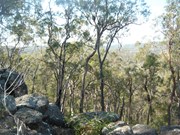
This walk takes you through fairly open bushland, up an incline to a conglomerate rock outcrop with views of the Cedar Creek Valley.The paths in this reserve are mostly wide enough to fit a ranger's car but are quite rocky and steep in some places. You are able to cycle, horseride and walk your dog here (but no motorbikes).
Getting there
Take the Chardon Bridge Rd exit off Beaudesert-Beenleigh Rd. Follow until you go just past Garden Rd, you will see the reserve entrance on your left.
Route/Trail notes
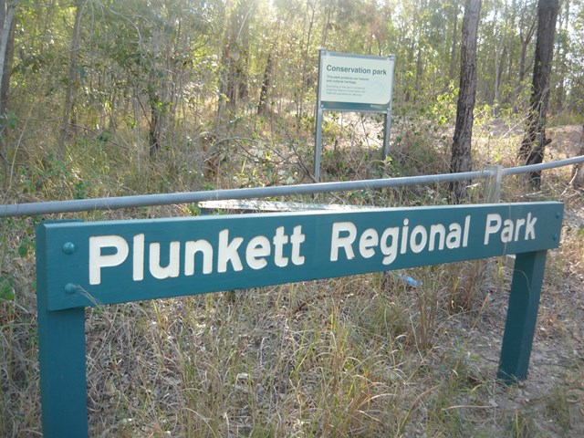
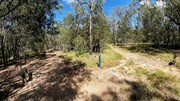
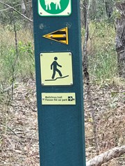
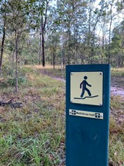
Starting at the Chardon Bridge Road entrance slip rail at Plunkett Regional Park (which is aproximately 70 meters North of the Garden Rd), follow the management track 900m up a decent hill and down again. You will come to a cross roads of sorts. Go left then immediately veer right opposite a bench seat up a very narrow trail (this is part of the Melichrus Trail).
Follow this until you eventually reach a T intersection at a management track again. Go Right here. Follow several hundred meters until you come to a high point on the trail at another intersection and go Left. Follow this up a steep incline, until you reach the top of the climb.
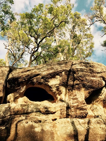
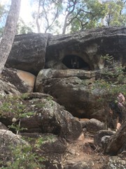
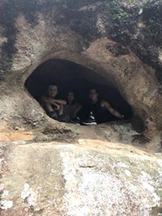
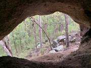
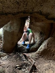
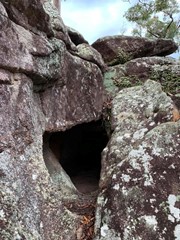
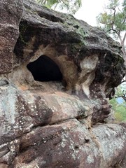
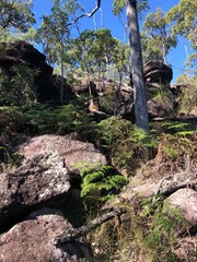
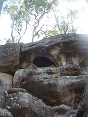
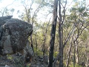
From here keep following the trail along a ridge a couple of hundered meters until you will see some rocky country in front and to your right. The track veers left here. Ignore this trail to the left and walk off track to your right contouring around the hill about 50 meters and look up at the rocky ridge for a small cave. It might take 5 minutes or so to locate.
Permits/Costs
NIL







 GPX (GPX)
 4
4 2
2
Comments