
Wickham Peak - Calytrix Circuit (Wickham Timber Reserve)
South East Queensland


Menu
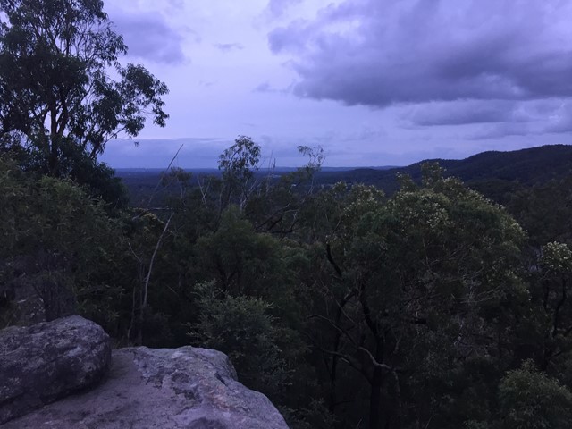

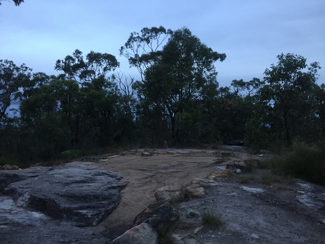

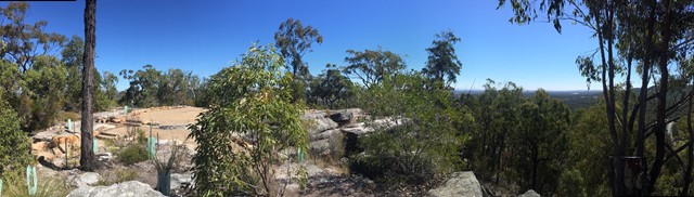
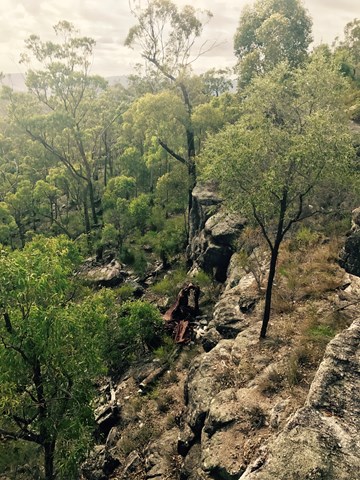
A sandstone adventure that climbs to the top of Wickham Peak which gives views of Brisbane City to the North and Mt Barney to the South. Once on top of the ridge the trail traverses heath country which has wildflower displays in Spring.
This walk is best in early morning or late afternoon in the summer months as it can be extremely hot in the middle of the day.

Getting there
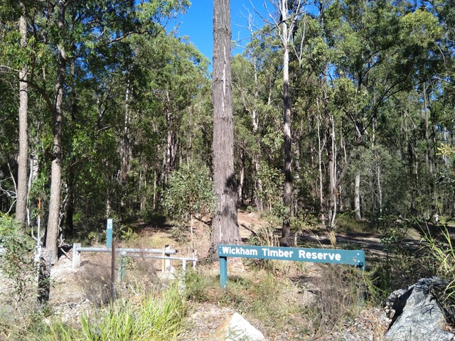
Park vehicles on Quinzeh Creek Road 1.3 km South of Condamine Drive opposite a steel sliprail with Wickham Timber Reserve sign adjacent. Quinzeh Creek Road can be approached via Tamborine Waterford Road or Beenleigh Beaudesert Road.
Maps
Open Street Map - www.openstreetmap.org/#map=16/-27.8058/153.1384
Google Maps - https://goo.gl/maps/HyANgR8ykhKcG8A9A
Route/Trail notes
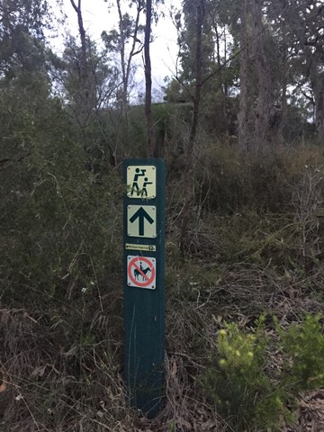
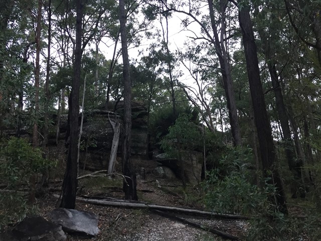
Follow the firebreak behind the sliprail seven hundred meters to the bottom of a rocky ridge. At a clear signed track on left, take the trail directly up the rocky slope to the summit of Wickham Peak. Once on top of the peak, for a longer walk follow the Calytrix Circuit signs to add 3.6km's to your walk, making 7kms total. This trail traverses through sandstone heath country and takes you to Grass Tree Loookout. Once this circuit is complete, follow the Wickham Peak trail in reverse to return to vehicles and trail head.
Permits/Costs
No permit required. Free
Other References
Visit: friendsofplunkett.org.au
GPS Tracks
- No GPS available for this walk yet.
 7
7 2
2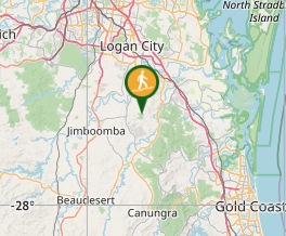
Comments