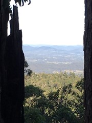
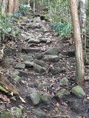
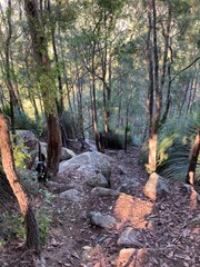
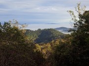
Although a short walk, Mt Boulder is a challenging walk as it rises to 496m above sea-level and requires a good level of fitness. The last 300m of the assent is very steep, with a small amount hand over hand action required, but well worth the trip. Once at the top you will reach the communications tower and the view is a little obscured by trees but you can get a few shots of the ranges just a little back down the track. The return is the way you came, so expect some thigh burning action on the way down.
Getting there:
Take the Old Noosa Road south of Gympie (next to Bunnings) out about 10k and turn left into Hill Road, signposted to Mothar Mountain Rock Pools Car Park and Picnic Area. This is also the start of the Boulder Mountain walks.
Maps:
Route/Trail notes:
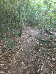
Starting at the Rock Pools Car Park follow the clearly marked trail for the Boulder Mountain hiking trail as it winds its way through the thick scrub passing some huge trees along the way. As you hit the more open terrain it steepens.
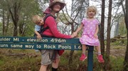
Before long you reach the very ominous looking sign that reads ‘summit 300m, very steep section’ but don’t let the sign mislead you. While it is quite steep, it is very manageable with plenty of rocks and trees to help stabilize yourself. After this it mellows out again with a short stroll to the top where you will see the summit sign and a return distance to the rock pools.
Return can be done by either backtracking down the way you came, or via the access road at the back which eventually connects back onto the main track back down to the rock pools which is approx. 10km.
Permits/Costs:
None.
Other References/Comments:
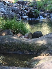
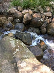
Walking poles are recommended, take plenty of water and have a cooling dip in the Rock Pools at the bottom.





 403 Boulder Mountain (GPX)
 3.2
3.2 2.5
2.5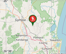
Comments