
Menu
Suggested searches
Your search found 2294 results...

 7.3
km
return
7.3
km
return
 2.5
hrs
2.5
hrs
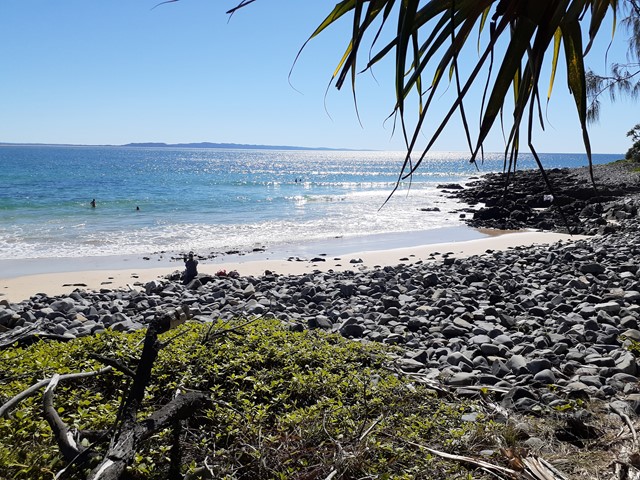
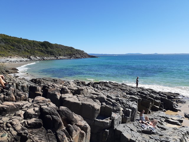
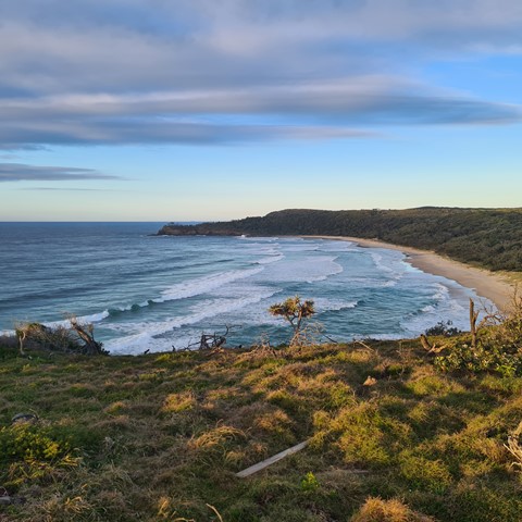
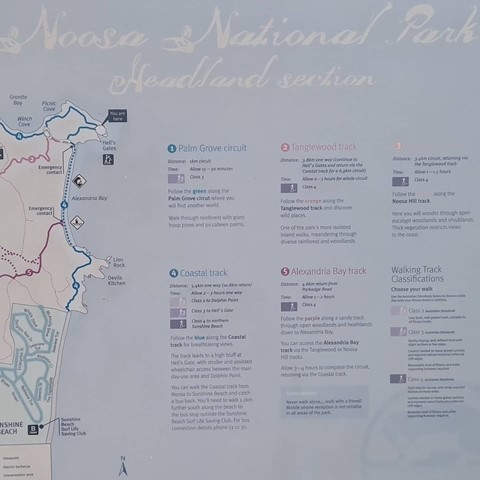
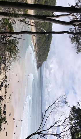
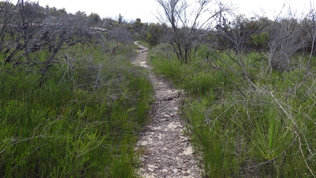
Noosa Headland Circuit
Sunshine Coast
This walk follows several shorter tracks to explore the diverse terrain and vegetation surrounding the headland. The walk visits Hells Gates spectacular coastal lookout.
 4.3
km
one-way
90
mins
4.3
km
one-way
90
mins
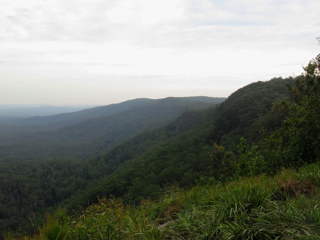
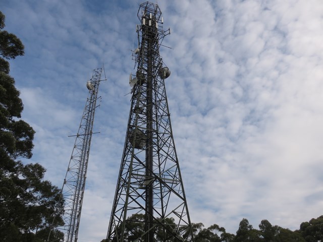
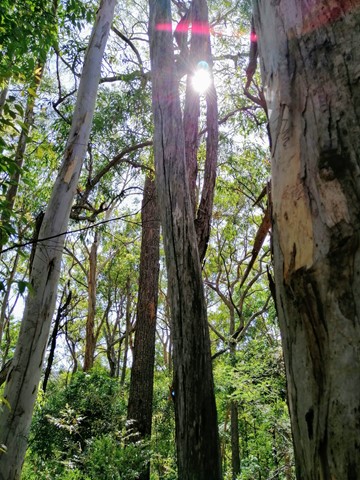
Heaton Lookout to Heaton Gap (GNW)
New South Wales
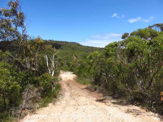
This section of the Great North Walk start from grand views at Heaton Lookout in Heaton state forest and leads to the picnic area and motel at Heaton Gap. The first section of this walk follows the dirt road to a communication tower before passing another lookout and expansive valley views. Here you start the steep decent along a rocky track and passing a lovely grove of grass trees. From here you follow a grassy trail and powerlines before the narrow track leads down and across the road at Heaton Gap.
 8.1
km
one-way
4
hrs
8.1
km
one-way
4
hrs
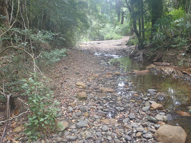
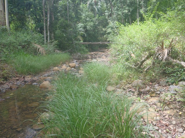
Watagan Headquarters to Heaton Lookout (GNW)
New South Wales
This scenic walk includes dramatic lookouts and time spent in moist cool forest. The walk initially travels on dirt road past Hunter and MacLean’s Lookout, before descending into the Wallis Creek catchment. Here the walk traverses underneath many cliffs before crossing Wallis Creek and arriving at Heaton Lookout. A recommended walk with car access either end.
 4.5
km
return
2.5
hrs
4.5
km
return
2.5
hrs
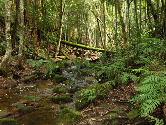
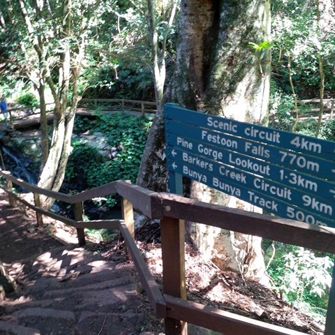
Mcgrory Falls via Pine Gorge
Bunya Mountains
This is a relatively tough but short hike, leading to one of the biggest yet lesser known waterfalls. The first 3/5ths of the track is well maintained though from Pine Gorge Lookout there is a steep descent into Pine Gorge. It would be a good idea to bring some flagging tape to mark the exit point in the gorge.
 1.6
km
return
30
mins
1.6
km
return
30
mins
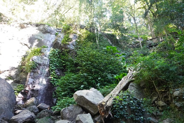
Festoon Falls and Mcgrory Lookout
Bunya Mountains
A nice easy stroll to Festoon Falls a well known waterfall and to the top of Mcgrory Falls, a hidden gem just 50 metres downstream of Festoon Falls.
 1.9
km
one-way
1
hr
1.9
km
one-way
1
hr
Pardalote Walk
Toowoomba
This walk connects several main features of Picnic Point Parklands. It starts from Lions Park (the rocket ship playground) then passes a lookout and a waterfall before leading along the edge of the escarpment with views out over the Lockyer Valley. It then proceeds downhill through eucalypt forest to reach the new upgraded lookout at the bottom of Tobruk Memorial Drive.
Officially listed as Grade 3/Medium difficulty (some uneven surfaces and steep inclines), this track is interesting and achievable for walkers of all ages with a moderate fitness level.
 4
km
return
105
mins
4
km
return
105
mins
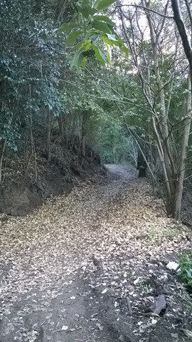
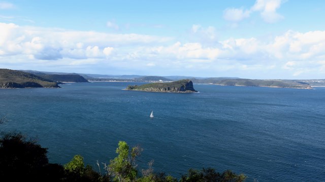
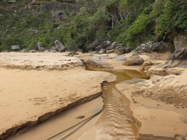
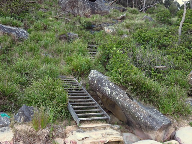
Headland Track / Resolute Loop
Ku-ring-gai Chase National Park
The Resolute Track at far end of West Head provides access secluded beaches, a number of interesting aboriginal sites in the area and numerous lookouts. It's a good walk in summer as you can stop for a swim at West Head Beach, Resolute Beach or Great Mackerel Beach.
 9
km
return
2.5
hrs
9
km
return
2.5
hrs
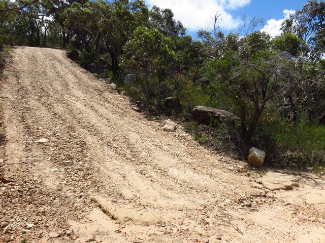
Waratah Track
Ku-ring-gai Chase National Park
The long and easy Waratah Track track takes in wildflowers and some scenic water views over Akuna and Yeomens Bay in Ku-ring-gai Chase National Park at the end. It's a 4WD track - closed to vehicles but suitable for mountain bikes as well as walkers.
 1.4
km
return
40
mins
1.4
km
return
40
mins
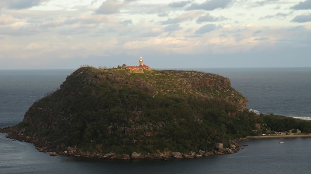
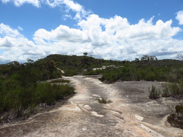
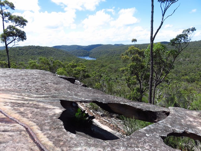
Willunga Track
Ku-ring-gai Chase National Park
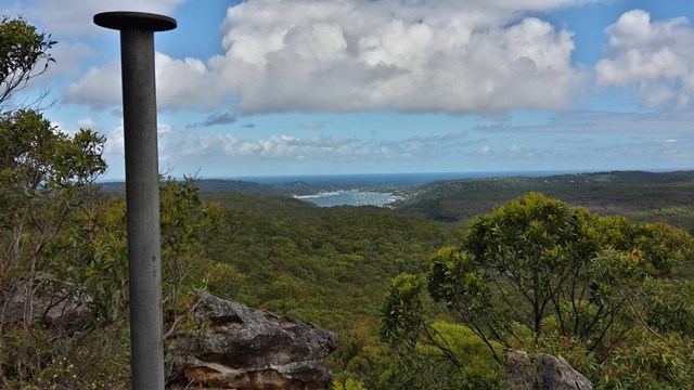
This short walk takes you to the highest point in Ku-ring-gai Chase National Park. At the top of the hill is an old trig point and some stunning panoramic view. On a clear day, there is an uninterrupted 180-degree view across large parts of the park, including Pittwater to the east and distant glimpses of Sydney city on the horizon, far to the south.
 12.5
km
return
5
hrs
12.5
km
return
5
hrs
Upper Byron Creek
D'Aguilar National Park
A lovely walk along the crest of the D'Aguilar Range with a creek to walk along.