
Menu
Popular Walks
-
Montezuma Falls walk
(18 ticks) -
Horsetail Falls
(10 ticks) -
Mt Murchison
(8 ticks) -
Tullah Miners Hut
(3 ticks) -
Philosophers Falls
(3 ticks)
Parent Regions
Summary
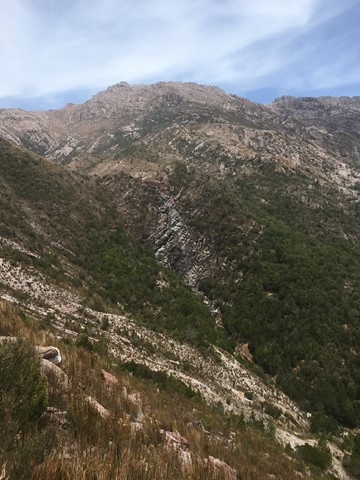
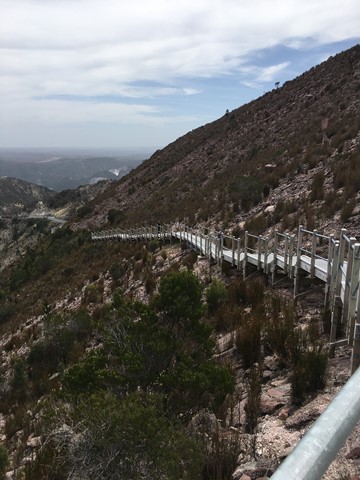
The west Coast of Tasmania is a rugged, untamed and primeval area, home to some of the last great stands of temperate rainforests and a host of lakes, rivers and gorges.
Popular Walks
-
Montezuma Falls walk
(18 ticks) -
Horsetail Falls
(10 ticks) -
Mt Murchison
(8 ticks) -
Tullah Miners Hut
(3 ticks) -
Philosophers Falls
(3 ticks)
Parent Regions
History
Many historic sites in the area, with most towns in the region having quite comprehensive tourist information or maps available.
Features
Access
Head south from Burnie, or north from Queenstown.
Maps
Various maps are available from tourist stops, local outlets, etc. Cradle Mountain has a NPWS office with a huge range of maps and guides available.
Accommodation
Many options for accommodation in Burnie, Waratah, Cradle Mountain, Rosebury, Queenstown, Strahan.
Camping
Other
Contact details
Contact details for National Park offices or similar...
Walks in West Coast Tasmania

 2.1
km
return
2.1
km
return
 1
hr
1
hr
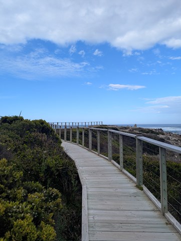
Bluff Hill Point Loop
A lighthouse & short coustal loop with wildlife & a taste of the wild west coast.
200
m
return
30
mins
Edge of The World
A short walk on the Wild West Coast at the Arthur River mouth.
 2
km
return
40
mins
2
km
return
40
mins
Fern Gully
Follow an old bench trail up a man-fern filled gully abundant with natives, and then back down the creek bed.
800
m
return
20
mins
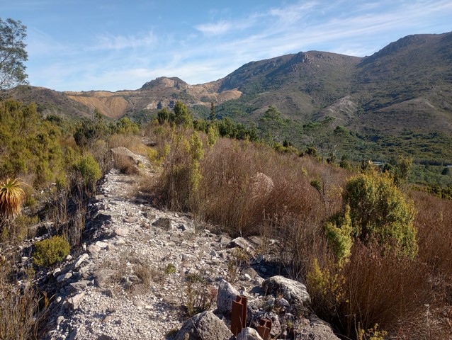
Horsetail Falls
A seasonal waterfall the cascades over 50 meters down a steep cliff face, best seen in winter and spring.

 2.1
km
return
45
mins
2.1
km
return
45
mins
Julius River Rainforest & Sinkhole Walk
Two short walks can be walked seperately but described together here.
 11.7
km
return
4
hrs
11.7
km
return
4
hrs
Kelly Basin Trail
A wonderful hike at the end of a scenic drive. Following the Bird River to the edge of Macquarie Harbour where the ruins of the historic town of East Pillinger lie.
1.1
km
return
30
mins
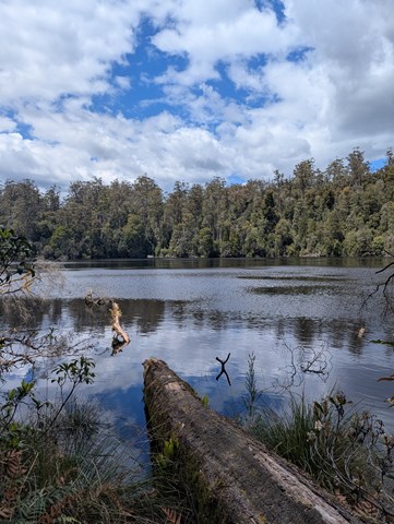
Lake Chisholm
A walk through lush rainforest to Lake Chisholm where a short loop can be walked.
 3
km
return
40
mins
3
km
return
40
mins
Mashed Kidneys
Bushwalk and mountain bike track from Gormanston down across the hill to the Linda Cemetery, (and Linda cafe!) Stroll and scramble gradually down through open grassland surrounded by mountains with views to Lake Burbury before plunging through a couple wooded sections and onto the cemetery road.