
Menu
Popular Walks
-
Montezuma Falls walk
(18 ticks) -
Horsetail Falls
(10 ticks) -
Mt Murchison
(8 ticks) -
Tullah Miners Hut
(3 ticks) -
Philosophers Falls
(3 ticks)
Parent Regions
Summary
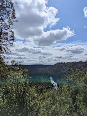
The west Coast of Tasmania is a rugged, untamed and primeval area, home to some of the last great stands of temperate rainforests and a host of lakes, rivers and gorges.
Popular Walks
-
Montezuma Falls walk
(18 ticks) -
Horsetail Falls
(10 ticks) -
Mt Murchison
(8 ticks) -
Tullah Miners Hut
(3 ticks) -
Philosophers Falls
(3 ticks)
Parent Regions
History
Many historic sites in the area, with most towns in the region having quite comprehensive tourist information or maps available.
Features
Access
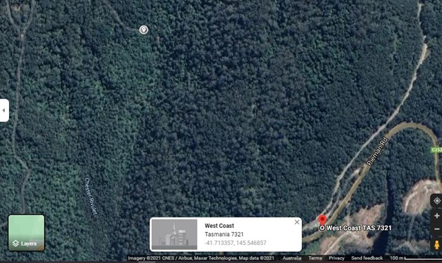
Head south from Burnie, or north from Queenstown.
Maps
Various maps are available from tourist stops, local outlets, etc. Cradle Mountain has a NPWS office with a huge range of maps and guides available.
Accommodation
Many options for accommodation in Burnie, Waratah, Cradle Mountain, Rosebury, Queenstown, Strahan.
Camping
Other
Contact details
Contact details for National Park offices or similar...
Walks in West Coast Tasmania

 7
km
7
km
 3
hrs
3
hrs
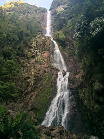
Montezuma Falls walk
Tumbling an impressive 104m, it is a tremendous reward for those taking the 7km, 3-hour return track that follows the old North East Dundas Tramway, which serviced various mines in the area.
 3
km
return
5
hrs
3
km
return
5
hrs
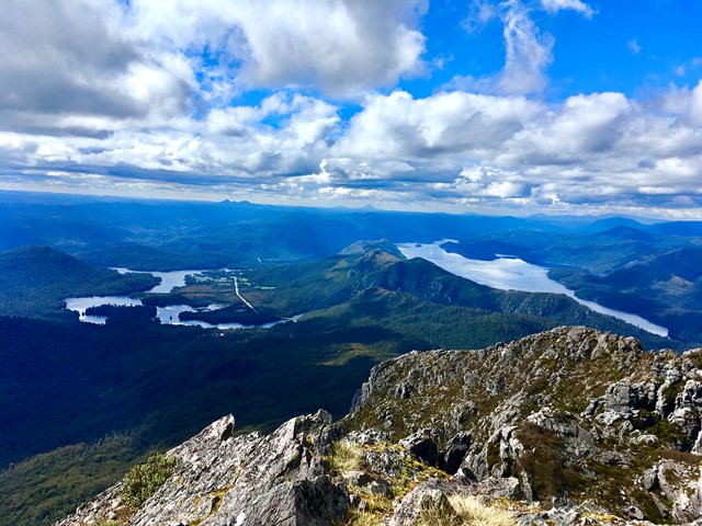
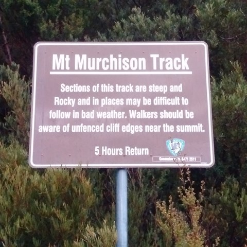
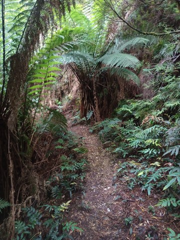
Mt Murchison
A steep narrow track up firstly then you hit the plateau to then finish off over the boulders to the summit
 4
km
return
4
hrs
4
km
return
4
hrs
Mt Owen summit +cave
Amazing views from the summit of Mt Owen and a cave under a very ominous large boulder after a steep goat track and rock scramble
 3
km
one-way
2
hrs
3
km
one-way
2
hrs
Mt Tyndall Summit + Cave
Short walk through swampy teatree, climbing up to exposed rocky goat path to summit and surrounds. There is good water halfway up and at the plateau the track branches off. Take the left path to the summit, the last 500m is unmarked and offers some rock scrambling and pushing through low bushes. The right leads to hilltop lakes, a cave for overnight camping and a great view of the ampetheatre lake Huntley
4
km
return
2
hrs
Mt Zeehan summit
Panoramic views of the west coast all the way from Queenstown to Rosebery and ocean beach await the climber on this steep, rocky goat-track
 2.8
km
return
1
hr
2.8
km
return
1
hr
Philosophers Falls
10 minute drive out of Waratah towards Savage River. It’s a magical walk that took about an hour to stroll with plenty of photo opportunities. About 200 stairs to the falls viewing platform. Such a beautiful walk, well worth the drive to Waratah.
 8
km
return
3
hrs
8
km
return
3
hrs
Pine Circle
A pretty walk up through a valley, past an old town water supply dam, following fire roads and up goat tracks to an old pine grove nestled in the bend of a creek
 500
m
return
30
mins
500
m
return
30
mins
Spion Kop
A walk up Spion Kop in Queenstown. Has some good informative history signs at the top and some nice views of town.
 1
hr
1
hr
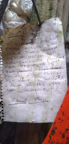
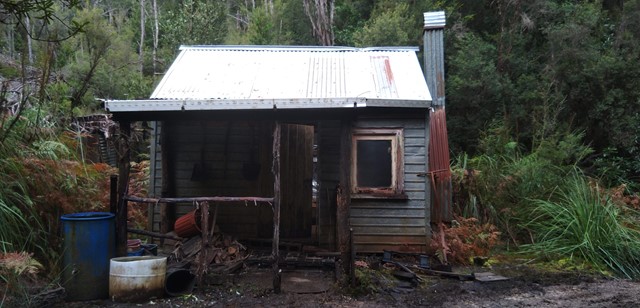
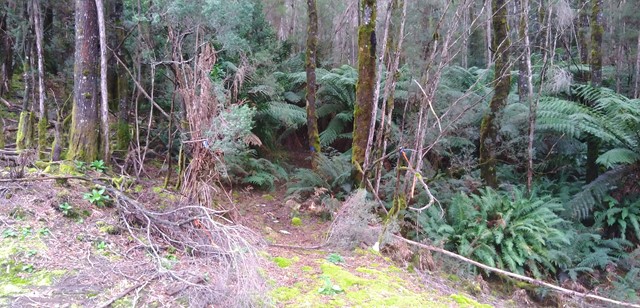
Tullah Miners Hut
A relatively short ( 1hr return ) walk through one of the local state forest to a historic hut in the forest.