
Menu
Popular Walks
-
Mt Ngungun
(1120 ticks) -
Mount Coolum
(849 ticks) -
Mt Cordeaux
(646 ticks) -
Twin Falls Circuit
(614 ticks) -
Purling Brook Falls Circuit
(593 ticks)
Summary
The Sunshine State
Queensland has a wealth of bushwalking opportunities including multiple World Heritage Listed rainforests such as the Daintree and Lamington National Park, great coastal and island parks like Fraser Island and Hinchinbrook Island.
Popular Walks
-
Mt Ngungun
(1120 ticks) -
Mount Coolum
(849 ticks) -
Mt Cordeaux
(646 ticks) -
Twin Falls Circuit
(614 ticks) -
Purling Brook Falls Circuit
(593 ticks)
Sub-Regions
Other Information
World Heritage Areas
- Fraser Island
- Gondwana Rainforests of Australia (Lamington NP, Springbrook NP, Mount Chinghee NP, Mount Barney NP, Main Range NP)
- Great Barrier Reef
- Riversleigh
- Wet Tropics (Daintree NP, Barron Gorge NP, Cedar Bay NP, Girringun NP, Wooroonooran NP)
Contact details
Queensland Parks and Forest:
https://parks.des.qld.gov.au/
Regions
The link below provides a region map of QLD as a reference to what council zones are included in the 7 geographic regions of QLD.
https://en.wikipedia.org/wiki/Regions_of_Queensland#/media/File:Qld-regions-map.gif
- Far North Queensland
- North Queesnland
- Central Queensland
- Mackay, Isaac and Whitsunday
- Wide Bay Burnett
- Darling Downs South West
- South East Queensland
Walks in Darling Downs South West

 800
m
return
800
m
return
 45
mins
45
mins
Donnelly’s Castle
A nice little walk around the rock formation features of Donnelly’s Castle Lions Park with the lookout above and the caves below.
 2
km
return
3
hrs
2
km
return
3
hrs
Hell Hole Gorge
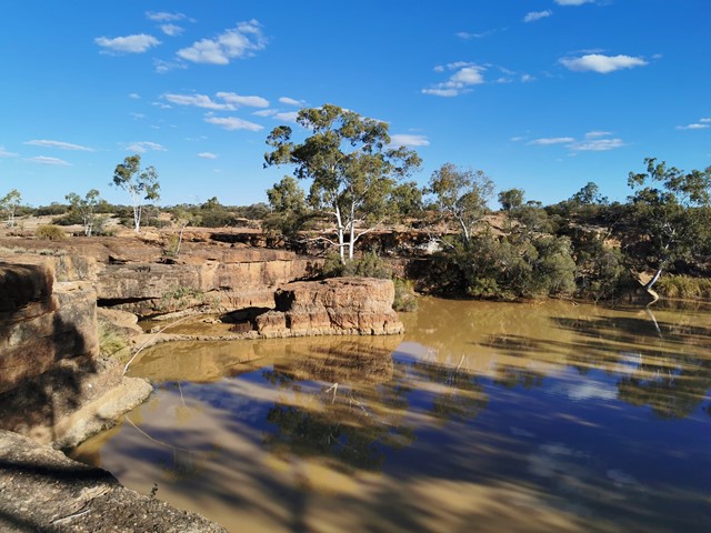
Hell Hole Gorge National Park is a wonderful spot about an hour drive from the small township of Adavale. Adavale has a pub/general store, but no fuel. During the hotter times of year it is recommended that you stop into the store or police station in Adavale before heading to Hell Hole Gorge, and let them know of your plans. I strongly recommend a 4WD, there are creek crossings that can be subject to washouts. Once on Hell Hole Gorge National Park there are 2 good swimming holes, Hell Hole Gorge and Spencer's Gorge. Both are lovely, but I personally prefer Spencer's Gorge. The walks up the creeks and from both points are incredible, but there are no marked walking tracks. The park is one of the few places the lucky bush-walker might see the elusive Yellow-footed Rock-wallaby. Though don't worry if you don't, there is a captive population at the National Parks Office in Charleville. The best time of year to be at the park would be late Autumn to early Spring. After rains both locations have lovely cascades and waterfalls. The majority of the park is inaccessible to the public, walking from both gorges is a worthwhile experience.
 4
km
return
1
hr
4
km
return
1
hr
Hydro Walk
The Hydro walk begins in town, before veering off to the left where it proceeds to follow a route parallel to the road leading out of town; past the new Town Bore, crossing the road leading into the Aerodrome and finishing at the Hydro Power Plant Display. This is rather an interesting place to view.
Many trees, shrubs and plants along the walk have identification plaques.
 1.2
km
return
20
mins
1.2
km
return
20
mins
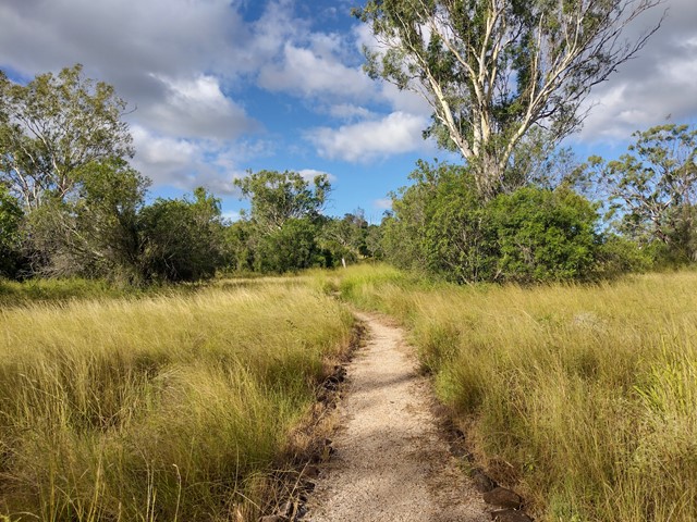
Irongate Conservation Park
This loop track circles through brigalow, belah and eucalypt forest, with regular signage describing the native plants throughout the park. The dirt path is flat and clear to follow, and the park is home to many species of birds and reptiles.
Officially listed as Grade 2/Easy difficulty, this track is suitable for all ages and fitness levels.
 4.4
km
return
90
mins
4.4
km
return
90
mins
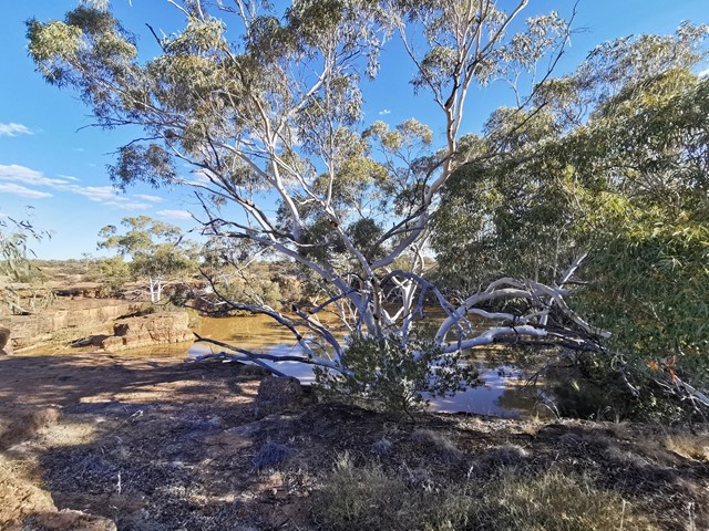
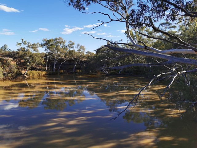
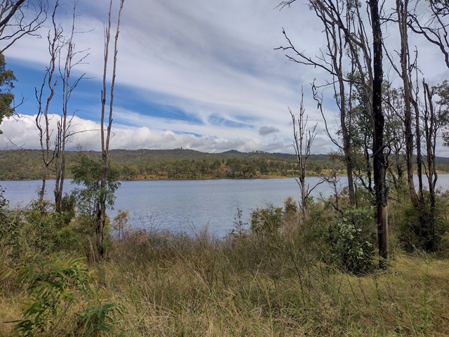
Lake Broadwater
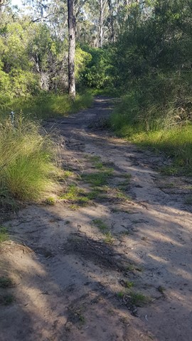
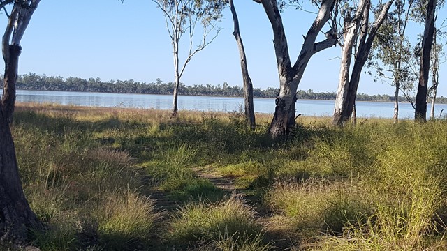
This track joins the two campgrounds. It starts just west of the campground and the lake and make its way around the lake before heading towards Wilga Bush Camp. There are lots of birds in the area. The track is mostly sandy but easy to follow. It passes the old dingo fence. There is also a lot of signage identifying trees.
 7.2
km
return
2
hrs
7.2
km
return
2
hrs
Lake Broadwater The Hide
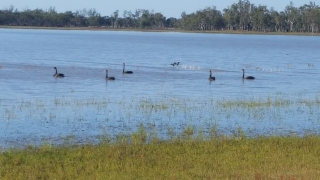
This track along the lake's shore joins the two camping areas and down to the Hide. It passes the remains of a dingo fence built in the 1860s for St Ruth Station and promises you an abundance of bird and waterbird life.
 7.5
km
return
3
hrs
7.5
km
return
3
hrs
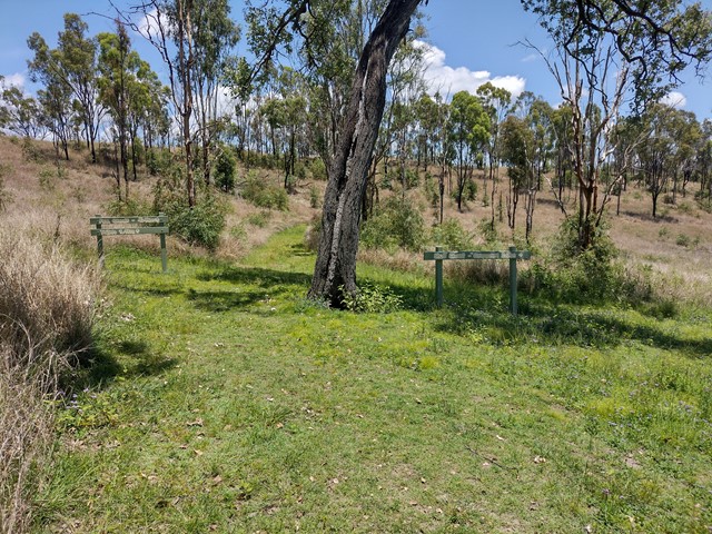
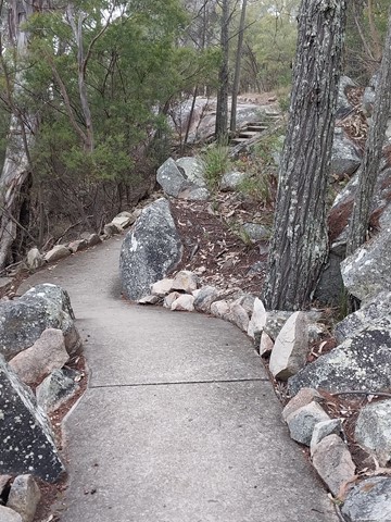
Lake Cressbrook Walking Track - Day Use Area to Full Circuit
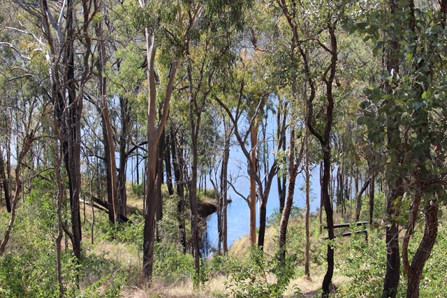
This track starts at the Day Use Area at the end of Cressbrook Dam Access Rd, and connects to a network of trails through eucalypt bushland behind the camping ground. Great opportunity for birdwatching with many stretches overlooking the dam.
Officially listed as Grade 3/Medium difficulty (including rough surfaces, some inclines + limited signage in parts), this track is suitable for people with a moderate fitness level.
 1.5
m
return
45
mins
1.5
m
return
45
mins
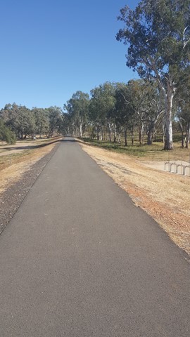
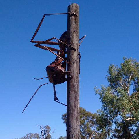
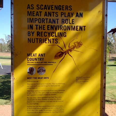
Meat Ant Park
Good for a stop and stretch your legs, when travelling on the Landsborough (Matilda) Highway between Barcaldine and Charleville or Roma, with a short stroll along the levee.
 1
km
return
30
mins
1
km
return
30
mins
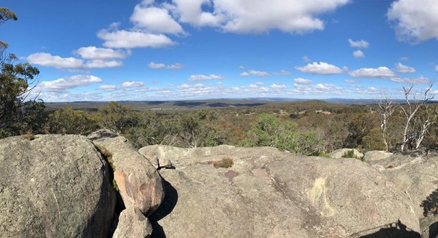
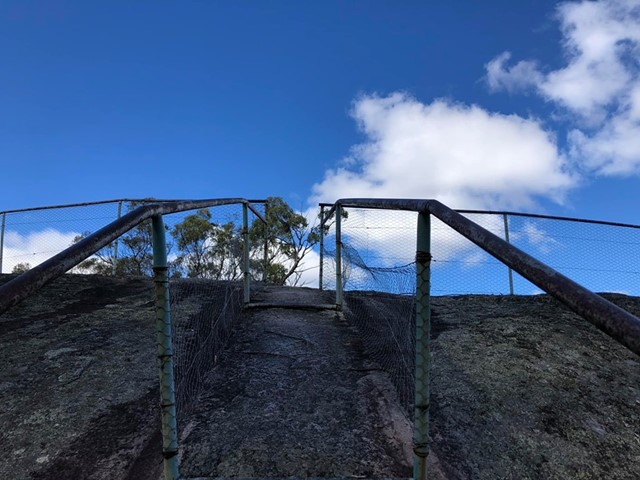
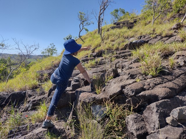
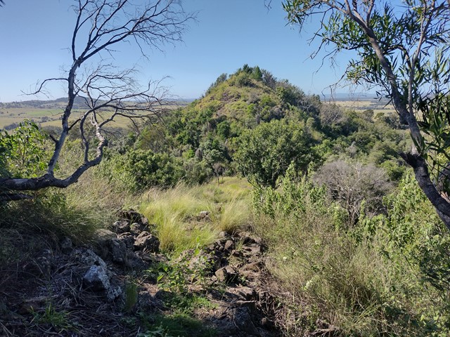
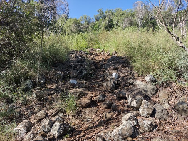
Mt Basalt
This unique geological and environmental area features rare volcanic formations and a few walking tracks that including rock-scrambling and lookouts with spectacular views.
Note: Officially listed as Grade 4/Hard (steep incline + scrambling + loose surface), this trail can still be a fun adventure for the whole family - please take caution near cliff-edges and wear suitable footwear.
 600
m
return
30
mins
600
m
return
30
mins
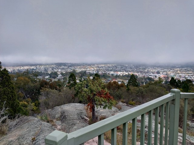
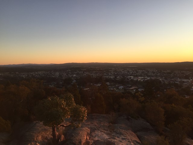
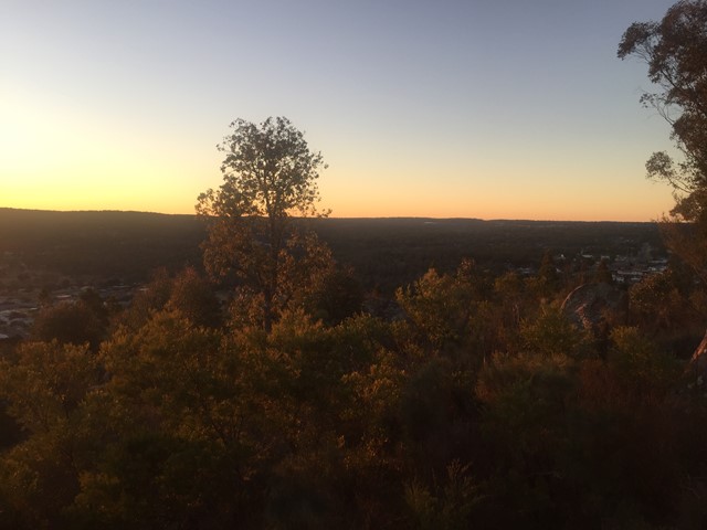
Mt Marlay Lookout & Summit Loop
A short loop walk from the lookout around the summit with views in each direction.