
Menu
Popular Walks
-
Mt Ngungun
(1120 ticks) -
Mount Coolum
(849 ticks) -
Mt Cordeaux
(646 ticks) -
Twin Falls Circuit
(614 ticks) -
Purling Brook Falls Circuit
(593 ticks)
Summary
The Sunshine State
Queensland has a wealth of bushwalking opportunities including multiple World Heritage Listed rainforests such as the Daintree and Lamington National Park, great coastal and island parks like Fraser Island and Hinchinbrook Island.
Popular Walks
-
Mt Ngungun
(1120 ticks) -
Mount Coolum
(849 ticks) -
Mt Cordeaux
(646 ticks) -
Twin Falls Circuit
(614 ticks) -
Purling Brook Falls Circuit
(593 ticks)
Sub-Regions
Other Information
World Heritage Areas
- Fraser Island
- Gondwana Rainforests of Australia (Lamington NP, Springbrook NP, Mount Chinghee NP, Mount Barney NP, Main Range NP)
- Great Barrier Reef
- Riversleigh
- Wet Tropics (Daintree NP, Barron Gorge NP, Cedar Bay NP, Girringun NP, Wooroonooran NP)
Contact details
Queensland Parks and Forest:
https://parks.des.qld.gov.au/
Regions
The link below provides a region map of QLD as a reference to what council zones are included in the 7 geographic regions of QLD.
https://en.wikipedia.org/wiki/Regions_of_Queensland#/media/File:Qld-regions-map.gif
- Far North Queensland
- North Queesnland
- Central Queensland
- Mackay, Isaac and Whitsunday
- Wide Bay Burnett
- Darling Downs South West
- South East Queensland
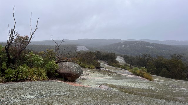
Walks in Crows Nest National Park
(Darling Downs South West)
 12
km
return
12
km
return
 7
hrs
7
hrs
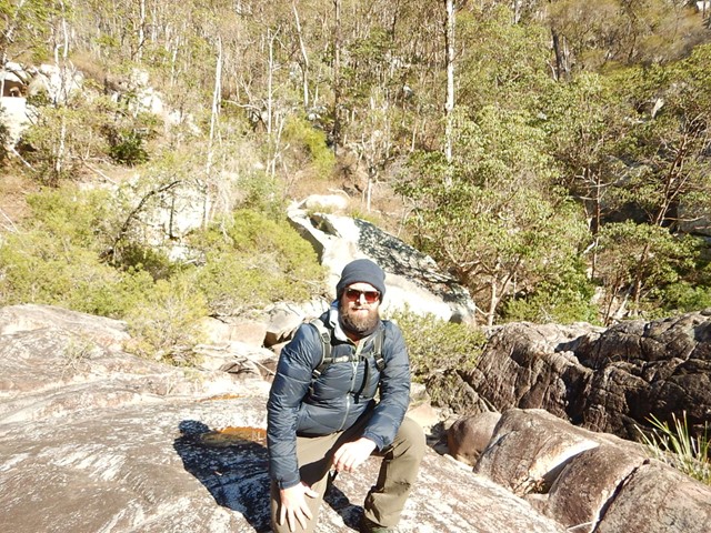
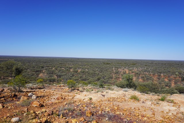
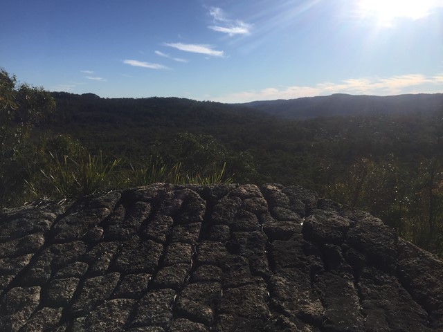
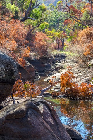
Crows Nest NP to Perserverance Dam
First 1/4 easy then 1/2 moderate then 1/4 hard. Try to get started early to avoid the heat. We took 7 hours to complete which had us doing the hardest part in the heat of the day.
At this date the creek portions were heavily overgrown and the rock hopping was hard since the floods of previous hears have washed out sand and small rocks leaving the entire Valley of Diamonds a hard slog criss-crossing the creek to find a navigable route. The bush has been badly degraded in recent years by drought and fires.
13
km
return
5
hrs
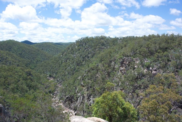
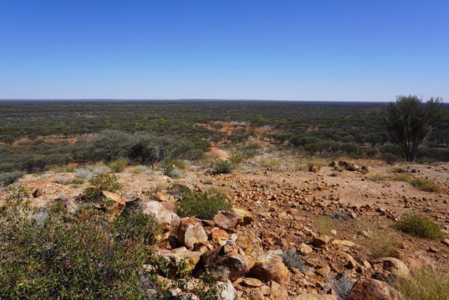
Valley of Diamonds
Starting from the same location as the normal day walks, it goes all the way to Perseverance Dam and then boulder-hopping all of the way up the gorge before a quick scramble up to Koonin Lookout
Walks in Currawinya National Park
(Darling Downs South West) 360
m
return
10
mins
360
m
return
10
mins
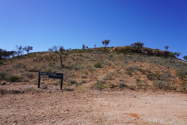
Budjiti Lookout
Budjiti Lookout
Grade 4
Distance: 360m return
Time: Allow 10 minutes
Take a short 180m walk up a rocky slope to the Budjiti Lookout and watch the sunset over an endless horizon. Located 44km north-west of the park office on the Boorara Road.
Remember to take water with you and walk carefully as the uneven track and rocks may be slippery.
 1.5
km
return
40
mins
1.5
km
return
40
mins
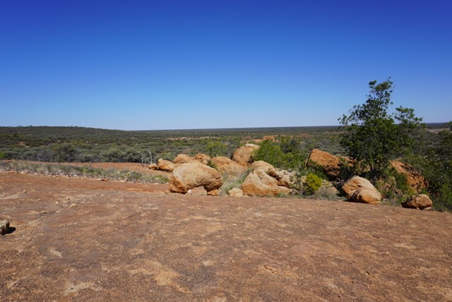
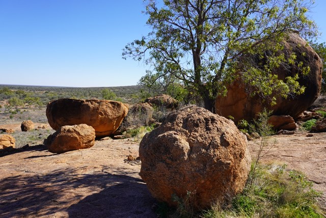
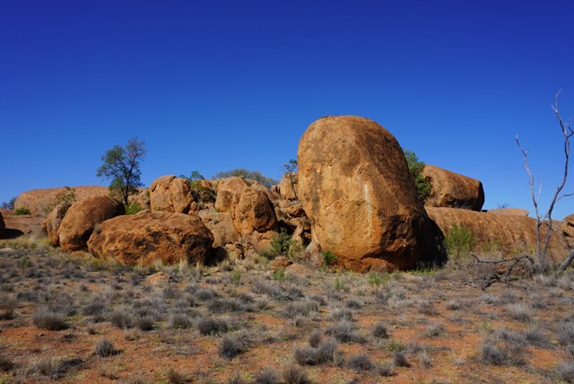
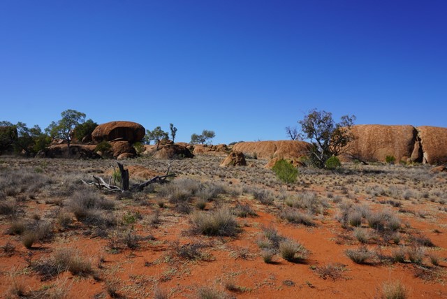
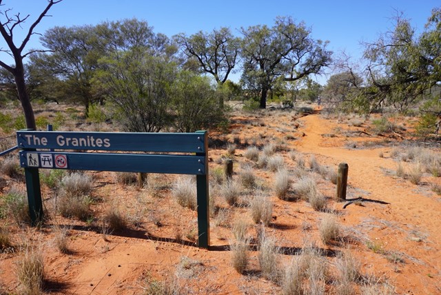
The Granites
The Granites
Grade 4
Distance: 1.5km return
Time: Allow 40 minutes
Visit The Granites, 10km north-west of Ten Mile Bore (pt 15km from ranger base) on the Boorara Road. Walk the 1.5km to a small outcrop of granite rocks, a unique feature of the park. Please respect the cultural significance of the area by not climbing on the granite rocks.
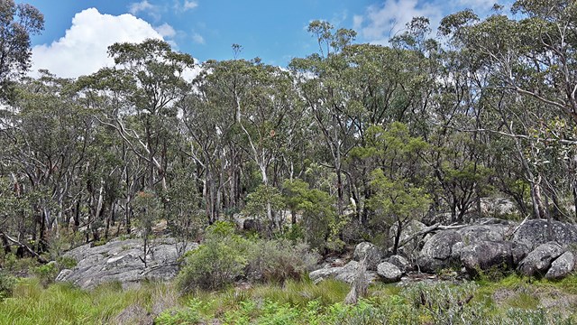
Walks in Girraween National Park
(Darling Downs South West) 5
km
return
3
hrs
5
km
return
3
hrs
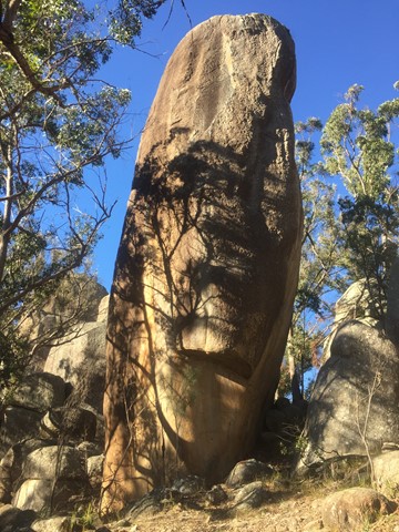
Aztec Temple
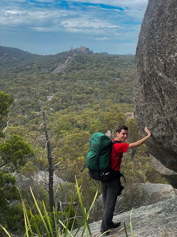
An off track walk from the end of the Underground Creek Trail containing a field of fascinating large stone pillars of various sizes, some of which (Main Pillar) can only be scales with ropes and shackles.
 4
km
return
1
hr
4
km
return
1
hr
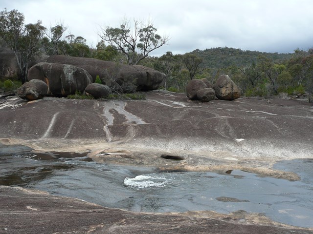
Bald Rock Creek Circuit
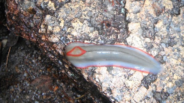
This circuit is ideal for a sample of Girraween’s finest features, with ample opportunity to see some of Giraween’s feathered, furred or scaly residents.
Cross Bald Rock Creek and follow it downstream along The Junction Track until it meets the track from the camping area. Use the stepping stones to cross the creek again and return to the day-use area via the camping area.
 4.4
km
return
90
mins
4.4
km
return
90
mins
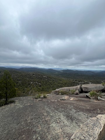
Castle Rock
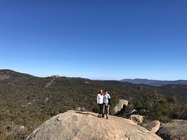
Panoramic views from Castle Rock are breathtaking including The Pyramids and Mt Norman.
Officially rated Grade 4/Hard, this walk requires a moderate fitness level, some scrambling skills and confidence with heights.
 1.4
km
return
30
mins
1.4
km
return
30
mins
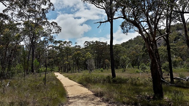
Dr Roberts Waterhole
Take the gently sloping track to gaze at reflections in the still waters of Bald Rock Creek. Ground orchids, banksias, conesticks, geebungs and crinkle bushes are prominent in spring, as are the many colourful bird species living among them.
 40
km
return
3
days
40
km
return
3
days
Eastern Peaks Circuit Girraween
A multi day hike (3 days comfortably but could be done in 2) that visits all major east peaks in Girraween. Wonderful scenery, wildflowers and wildlife.
 46
km
2
days
46
km
2
days
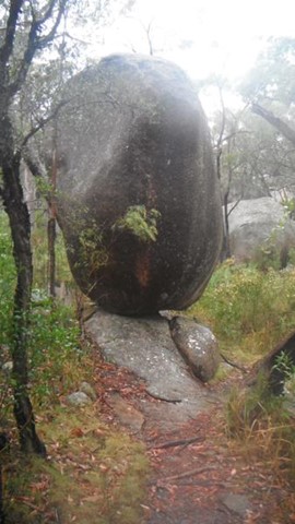
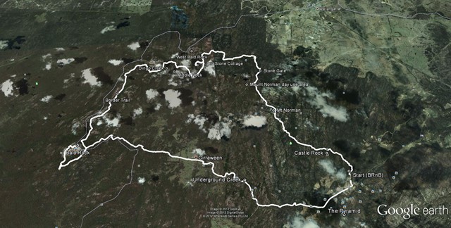
Girraween to Bald Rock Circuit
The route we took was a mix of bush tracks; fire trails and off track. There were quite a number of opportunities to replenish your water supply either at the Nat Park's camp grounds and creeks.