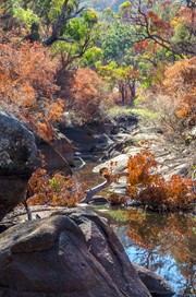
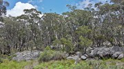
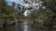
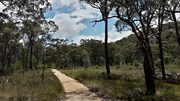
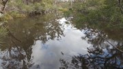
Take the gently sloping track to gaze at reflections in the still waters of Bald Rock Creek. Ground orchids, banksias, conesticks, geebungs and crinkle bushes are prominent in spring, as are the many colourful bird species living among them.
Getting there:
Girraween NP is situated approximately 260km by road south-west of Brisbane. To reach the park, turn off the New England Highway 26km south of Stanthorpe or 30km north of Tenterfield onto Pyramids Road. The winding bitumen road continues a further 9km east through the Wyberba Valley to the park's Information Centre. Continue along the gravel section of the road for a further 3.5km to the walk's car park.
An alternative road from Stanthorpe to Girraween via Eukey and Storm King Dam has some gravel sections.
Maps:
Route/Trail notes:
From the car park, the track is well signposted and you bear right after 200m to the waterhole and back.
Permits/Costs:
None.
Other References/Comments:
With so many bushwalking options in the park, why not take advantage of the excellent camping facilities at Castle Rock.
Most people will combine this with Underground Creek by branching off right to the creek on the way back. This gives a 4.8km round trip walk.




 155 Dr Roberts Waterhole (GPX)
 1.4
1.4 30
30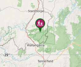
Comments