
Menu
Popular Walks
-
Mt Ngungun
(1120 ticks) -
Mount Coolum
(849 ticks) -
Mt Cordeaux
(646 ticks) -
Twin Falls Circuit
(614 ticks) -
Purling Brook Falls Circuit
(593 ticks)
Summary
The Sunshine State
Queensland has a wealth of bushwalking opportunities including multiple World Heritage Listed rainforests such as the Daintree and Lamington National Park, great coastal and island parks like Fraser Island and Hinchinbrook Island.
Popular Walks
-
Mt Ngungun
(1120 ticks) -
Mount Coolum
(849 ticks) -
Mt Cordeaux
(646 ticks) -
Twin Falls Circuit
(614 ticks) -
Purling Brook Falls Circuit
(593 ticks)
Sub-Regions
Other Information
World Heritage Areas
- Fraser Island
- Gondwana Rainforests of Australia (Lamington NP, Springbrook NP, Mount Chinghee NP, Mount Barney NP, Main Range NP)
- Great Barrier Reef
- Riversleigh
- Wet Tropics (Daintree NP, Barron Gorge NP, Cedar Bay NP, Girringun NP, Wooroonooran NP)
Contact details
Queensland Parks and Forest:
https://parks.des.qld.gov.au/
Regions
The link below provides a region map of QLD as a reference to what council zones are included in the 7 geographic regions of QLD.
https://en.wikipedia.org/wiki/Regions_of_Queensland#/media/File:Qld-regions-map.gif
- Far North Queensland
- North Queesnland
- Central Queensland
- Mackay, Isaac and Whitsunday
- Wide Bay Burnett
- Darling Downs South West
- South East Queensland
Walks in Sundown National Park
(Darling Downs South West)
 1
km
return
1
km
return
 30
mins
30
mins
Permanent Water Hole / Ooline Creek
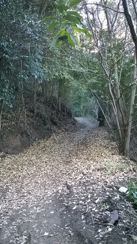
Permanent Waterhole / Ooline Creek is a walk in Sundown National Park. Its an easy walk along a clear path.
Located On the Queensland – New South Wales border, 250 km south-west of Brisbane via Stanthorpe and 70 km north-west of Tenterfield.
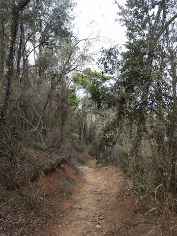
Sundown is a rugged wilderness area of spectacular sharp ridges and steep-sided gorges. The Severn River and its tributaries, woodland birds and remains of pastoral and mining heritage can be discovered via maintained walking tracks, challenging remote walks or the four-wheel-drive (4WD) track.
 7.6
km
return
3
hrs
7.6
km
return
3
hrs
Rats Castle & Hell Hole Circuit
Starting where the 4wd track starts to get particularly dicey as it begins the last drop to the Severn River follow the 4wd track down to the river which you will cross and follow down stream (this will be one of a few river crossings you will need to complete if the water level is high enough). Once you reach the circuit part of the walk this is where you will come across the main features of the walk. Described anti-clockwise you will first head up a steep section to a saddle which has a worthwhile detour to 'Hell Hole Peak' the small knoll that sits above the bend in the river and offers great views to the North and East. Then you descend to The Hell Hole a waterhole in the river and follow the river around to beneath the Rats Castle where you will cross the river and close the loop crossing the river once more before returning the way you came.
16
km
return
4
hrs
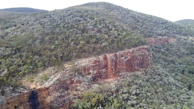
Red Rock Gorge
This is the entrance to Sundown NP via Sundown Rd. This IS a 4WD track . Gravel road to access entrance of park would recommend SUV or 4WD only .
If SUV leave you car at gate and follow the track. Signs along the way and about 8km one way from gate,
 500
m
return
30
mins
500
m
return
30
mins
Red Rock Gorge Lookout Track
A short walk from Red Rock Gorge Campground to the Red Rock Gorge Lookout where Red Rock Falls flows in the wet.
90
mins
Western Circuit
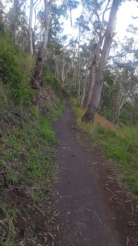
A fairly easy but very picturesque walk. Lots of wildlife, beautiful wildflowers and eucalypts.
Walks in Toowoomba
(Darling Downs South West)
1.9
km
one-way
1
hr
Pardalote Walk
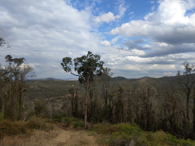
This walk connects several main features of Picnic Point Parklands. It starts from Lions Park (the rocket ship playground) then passes a lookout and a waterfall before leading along the edge of the escarpment with views out over the Lockyer Valley. It then proceeds downhill through eucalypt forest to reach the new upgraded lookout at the bottom of Tobruk Memorial Drive.
Officially listed as Grade 3/Medium difficulty (some uneven surfaces and steep inclines), this track is interesting and achievable for walkers of all ages with a moderate fitness level.
 7.5
km
one-way
2.5
hrs
7.5
km
one-way
2.5
hrs
East Creek Park
An easy walk through connecting parks along the reserve of East Creek in Toowoomba.
1.7
m
return
45
mins
Fantail Walk
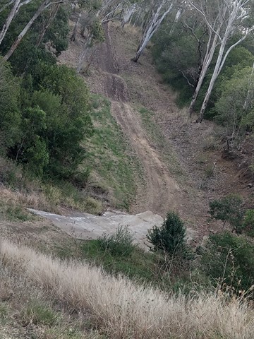
This walk zig-zags 80m down the face of the Toowoomba Range. It has a bitumen surface for most of the way, and includes a flight of metal grate stairs. It is great for bird watching and has views out to the South East and Mt Table Top.
Officially listed as Grade 3/Medium difficulty (includes an 80m change in elevation + stairs), this track is suitable for walkers with a moderate fitness level.
 2.12
km
one-way
50
mins
2.12
km
one-way
50
mins
Firetail Walk
This walk zig-zags down the Toowoomba Range, starting from Lions Park (behind the rocket ship playground). It is well shaded for most of the way and provides an opportunity for birdwatching.
Officially listed as Grade 3/Medium (160m change in elevation over 2km), this track is suitable for walkers with a moderate fitness level.
 4
km
2
hrs
4
km
2
hrs
Grasstree Track - Eagle's Nest Trail Loop, Redwood Park
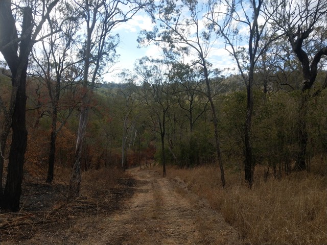
This loop starts from the Redwood Park trailhead near the bottom of the Toowoomba Range. It is a moderately challenging walk through eucalypt forest, with views towards Mount Table Top & Picnic Point. It is possible to extend your walk by following the marked side-track to the Ferny Gully Circuit (approx. 2km return). The archaeological dig site at the Eagles Nest Men's Camp historical is also located off Eagle's Nest Trail (trailhead unsigned). Caution: slippery after rain.
Officially listed as Grade 4 difficulty (includes some steep sections, loose/ slippery/boggy surfaces + limited signage), this track is suitable for walkers/runners with a moderate-high fitness level.