
Menu
Popular Walks
-
Mt Ngungun
(1120 ticks) -
Mount Coolum
(849 ticks) -
Mt Cordeaux
(646 ticks) -
Twin Falls Circuit
(614 ticks) -
Purling Brook Falls Circuit
(593 ticks)
Summary
The Sunshine State
Queensland has a wealth of bushwalking opportunities including multiple World Heritage Listed rainforests such as the Daintree and Lamington National Park, great coastal and island parks like Fraser Island and Hinchinbrook Island.
Popular Walks
-
Mt Ngungun
(1120 ticks) -
Mount Coolum
(849 ticks) -
Mt Cordeaux
(646 ticks) -
Twin Falls Circuit
(614 ticks) -
Purling Brook Falls Circuit
(593 ticks)
Sub-Regions
Other Information
World Heritage Areas
- Fraser Island
- Gondwana Rainforests of Australia (Lamington NP, Springbrook NP, Mount Chinghee NP, Mount Barney NP, Main Range NP)
- Great Barrier Reef
- Riversleigh
- Wet Tropics (Daintree NP, Barron Gorge NP, Cedar Bay NP, Girringun NP, Wooroonooran NP)
Contact details
Queensland Parks and Forest:
https://parks.des.qld.gov.au/
Regions
The link below provides a region map of QLD as a reference to what council zones are included in the 7 geographic regions of QLD.
https://en.wikipedia.org/wiki/Regions_of_Queensland#/media/File:Qld-regions-map.gif
- Far North Queensland
- North Queesnland
- Central Queensland
- Mackay, Isaac and Whitsunday
- Wide Bay Burnett
- Darling Downs South West
- South East Queensland
Walks in Toowoomba
(Darling Downs South West)
 7
km
return
7
km
return
 2.5
hrs
2.5
hrs
Grasstree Track + Bridle Trail + Redwood Forest Walk Loop, Redwood Park
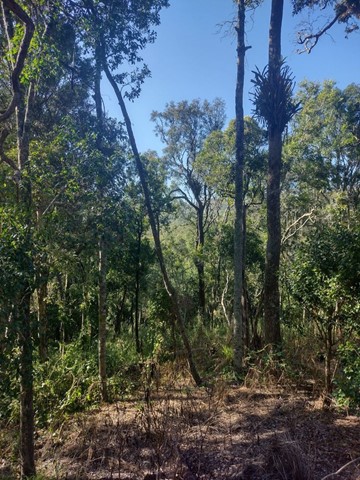
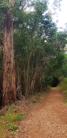
This challenging loop starts from the Redwood Park trailhead near the bottom of the Toowoomba Range. It leads through eucalypt forest and dry vine scrub with views towards Mount Meewah/Table Top & Picnic Point. Caution: slippery after rain.
Officially listed as Grade 4/Hard difficulty (includes some steep sections, loose/ slippery/boggy surfaces + limited signage), this track is suitable for walkers/runners with a moderate-high fitness level.
 1.2
km
return
30
mins
1.2
km
return
30
mins
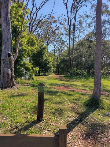
Hancock Street Park Walking Circuit
A short, shady walking trail through urban bushland. The dirt track is flat and well maintained but may be muddy after rain. This park is home to some interesting bird and plant life.
Officially listed as Grade 2/Easy, this track is suitable for walkers of all ages and fitness levels.
 1.5
km
one-way
1.5
km
one-way
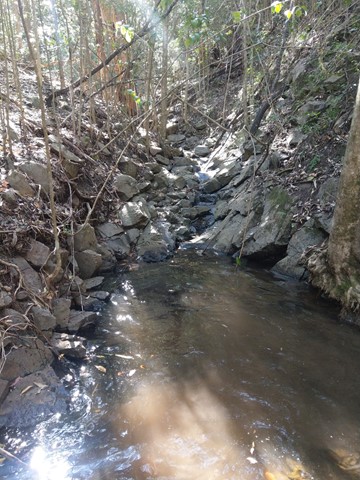
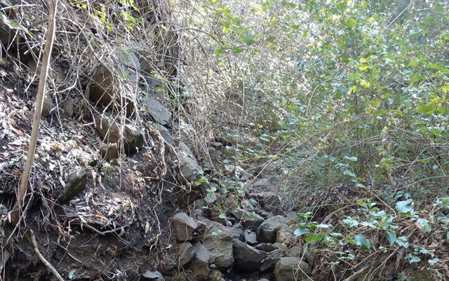
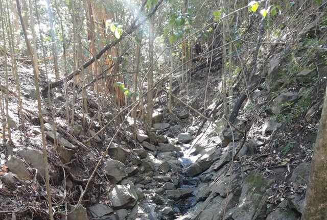
Hell Hole Track and Falls
A short steep track through bush to a little creek and falls.
 3
km
return
1
hr
3
km
return
1
hr
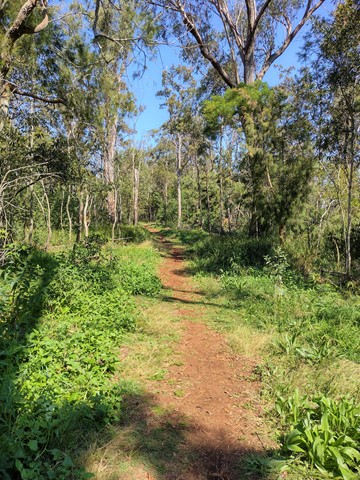
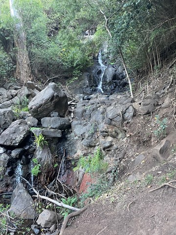
Highfields Falls Walking Trails
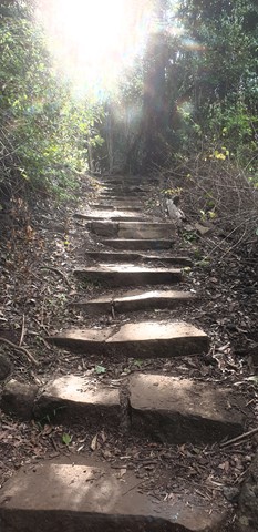
A small network of well-maintained walking tracks through eucalypt forest, accessed from three trailheads. Highlights include a small waterfall (accessible the top and the base) and a shady gully where stepping-stones lead across a creek crossing. Excellent birdwatching opportunities.
Each of the circuits has its own difficulty rating, ranging from Grade 2/Easy -Grade 4/Hard (includes some steep sections, natural stone stairs + slip hazards). In general, these walks are appealing to walkers of all ages, and most fitness levels.
 600
m
return
15
mins
600
m
return
15
mins
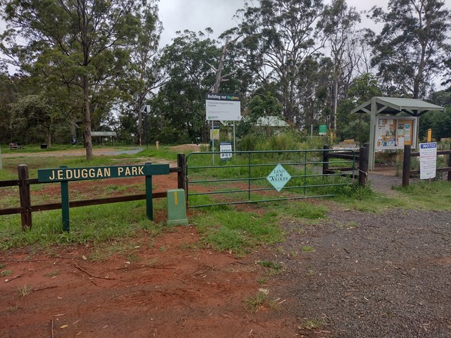
J.E. Duggan Park - Wallaby Walk and Sensory Trail
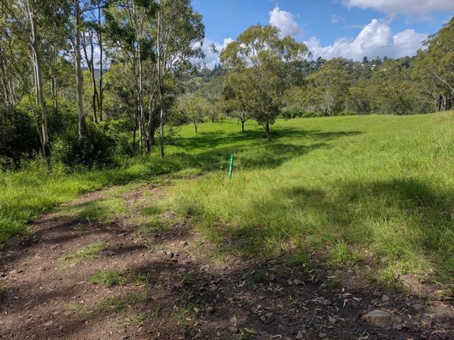
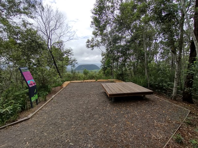
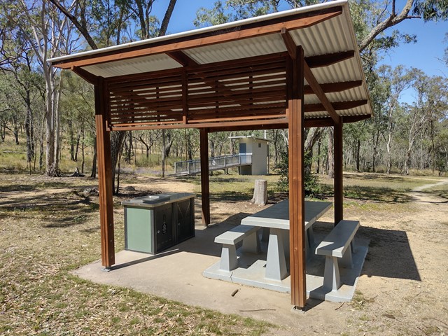
J.E. Duggan Park is a pocket of urban bushland on the southern edge of the Toowoomba escarpment, with two lookouts over the Lockyer Valley and Mt Meewah/Tabletop Mountain. This park has been upgraded to include two wheelchair accessible tracks, braille information signs and a sensory trail that can is accessible for walkers with a visual impairment. The picnic and toilet facilities are also wheelchair accessible.
 1.2
km
return
40
mins
1.2
km
return
40
mins
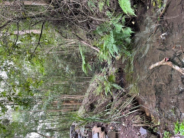
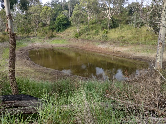
John Trousall Park
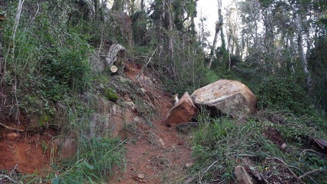
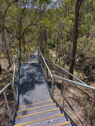
A short walk though urban bushland, descending into a deep gully with a dam at the bottom. This trail is shared by mountain bikes and can be uneven/slippery after rain. The park has many facilities including BBQ, toilet, tennis court, basketball half court, handball wall, lean-to-ride bike skills track and a small playground.
Officially listed as Grade 3/Medium difficulty (rough surfaces + 2 very steep cemented sections leading in/out of the gully), this track is suitable for walkers with a moderate fitness level.
 900
m
return
30
mins
900
m
return
30
mins
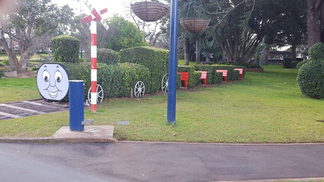
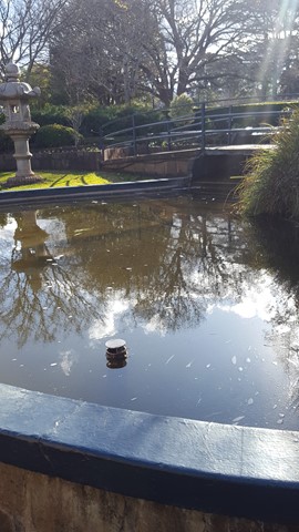
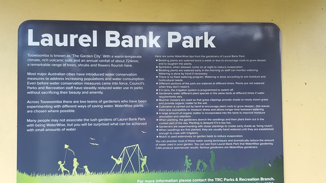
Laurel Bank Park
This well groomed park is a site to behold in spring and summer with its pathways in and around the various flowerbeds and ornamental areas.
 1
km
return
20
mins
1
km
return
20
mins
Mount Kingsthorpe
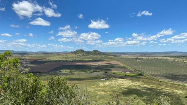
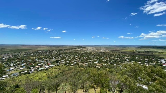
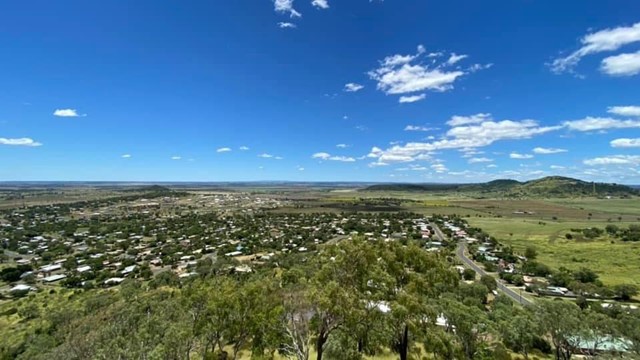
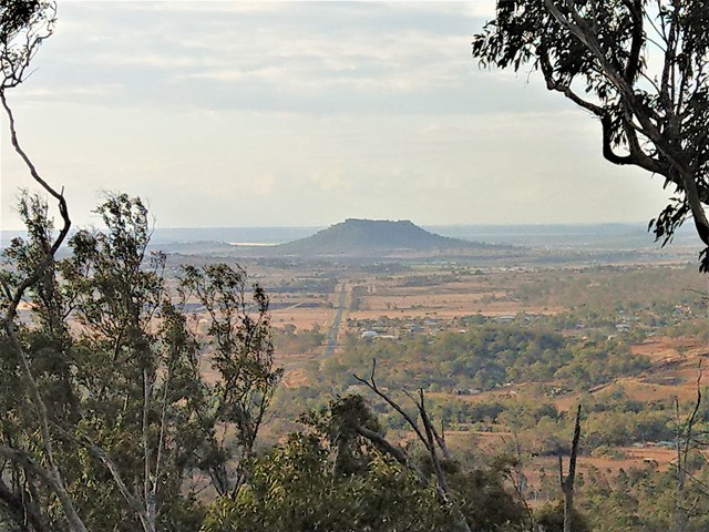
A short walk zigzagging to the summit of Mt Kingsthorpe with panoramic views over the town of Kingsthorpe and surrounding farmland. The trail is unsealed and contains several natural stone steps. There are a few bench seats along the trail to rest but no other facilities.
Officially listed as Grade 4/Hard (loose/uneven surface, natural steps), this track is suitable for walkers of all ages and most fitness levels.
 3.4
km
return
90
mins
3.4
km
return
90
mins
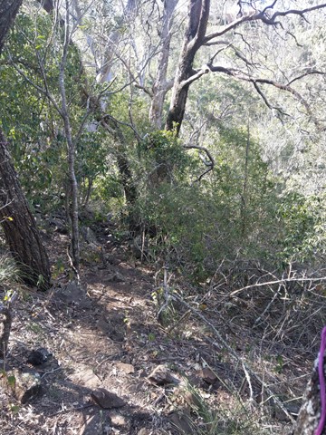
Mt Peel Walking Tracks
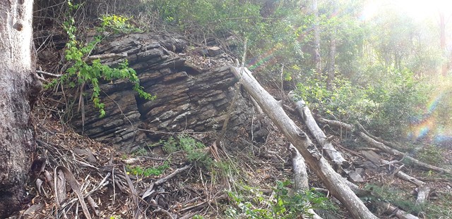
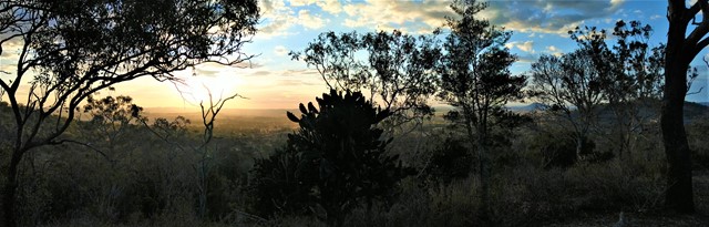
A network of walking circuits and firebreak trails through eucalypt forest. There are two main summits that include scrambling sections, and the lookout from the South Summit gives walkers 360° views of Toowoomba and its surrounds.
The trails at Mt Peel are officially listed as Grade 3/Medium - Grade 4/Hard (some steep inclines, rough surfaces + scrambling sections). These tracks are interesting for walkers of all ages, though a moderate fitness level is required.
 1
km
return
30
mins
1
km
return
30
mins
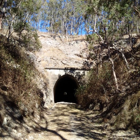
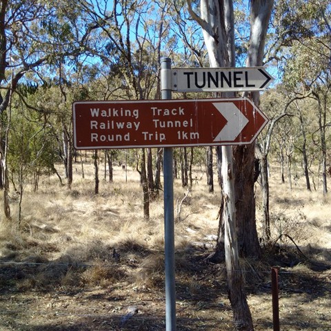
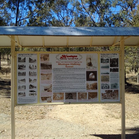
Muntapa Railway Tunnel
Two short walks through eucalypt bushland, leading to both ends of a historic, disused railway tunnel - Queensland's lonest straight railway tunnel. You can enter the tunnel at each end, but cannot walk all the way through as it is fenced off to protect a colony of small native bats.
Interpretive signs give a comprehensive history of the tunnel, and provide details about the resident bat colony.
Officially marked as Grade 3/Medium difficulty (many stairs down to the northern entrance), this track is manageable for most ages and fitness levels.