
Menu
Popular Walks
-
Mt Ngungun
(1120 ticks) -
Mount Coolum
(849 ticks) -
Mt Cordeaux
(646 ticks) -
Twin Falls Circuit
(614 ticks) -
Purling Brook Falls Circuit
(593 ticks)
Parent Regions
Sub-Regions
- Amamoor State Forest
- Bellthorpe National Park
- Brisbane City Council Local Walks
- Brisbane Forest park D'Aguilar National Park
- Brisbane Valley Rail Trail
- Coombabah Lakelands Conservation Area
- Daisy Hill Conservation Park
- Eumundi Conservation Park
- Glass House Mountains National Park
- Glen Rock Regional Park
- Gold Coast
- Ipswich
- Jimna State Forest
- Karawatha Forest
- Kondalilla National Park
- Lamington National Park
- Main Range National Park
- Mapleton National Park
- Moggill Conservation Park
- Moogerah Peaks National Park
- Moreton Island National Park
- Mt Barney National Park
- North Stradbroke Island - Minjeeribah
- Parklands Conservation Park
- Springbrook National Park
- Sunshine Coast
- Tamborine National Park
- White Rock - Spring Mountain Conservation Estate
Summary
Boarding NSW and the pacific Ocean, it is not uncommon for hikes to have views of both worlds (ocean and hinterland). Hikes here are typically on the great dividing range.
Popular Walks
-
Mt Ngungun
(1120 ticks) -
Mount Coolum
(849 ticks) -
Mt Cordeaux
(646 ticks) -
Twin Falls Circuit
(614 ticks) -
Purling Brook Falls Circuit
(593 ticks)
Parent Regions
Sub-Regions
- Amamoor State Forest
- Bellthorpe National Park
- Brisbane City Council Local Walks
- Brisbane Forest park D'Aguilar National Park
- Brisbane Valley Rail Trail
- Coombabah Lakelands Conservation Area
- Daisy Hill Conservation Park
- Eumundi Conservation Park
- Glass House Mountains National Park
- Glen Rock Regional Park
- Gold Coast
- Ipswich
- Jimna State Forest
- Karawatha Forest
- Kondalilla National Park
- Lamington National Park
- Main Range National Park
- Mapleton National Park
- Moggill Conservation Park
- Moogerah Peaks National Park
- Moreton Island National Park
- Mt Barney National Park
- North Stradbroke Island - Minjeeribah
- Parklands Conservation Park
- Springbrook National Park
- Sunshine Coast
- Tamborine National Park
- White Rock - Spring Mountain Conservation Estate
History
Any interesting history for the region?
Features
What are the standout bushwalking features?
Access
How do you get there? Include all access points if there are many?
Maps
Which maps cover the region?
Accommodation
Where can I stay there? or near there?
Camping
Council Areas:
- Scenic Rim Regional
- Gold Coast City
- Logan City
- Redland City
- Ipswich City
- Lockyer Valley Regional
- Brisbane City
- Somerset Regional
- Moreton Bay Regional
- Sunshine Coast Regional
- Noosa Shire
Contact details
See Qld National parks website

 10.4
km
10.4
km
 4.5
hrs
4.5
hrs
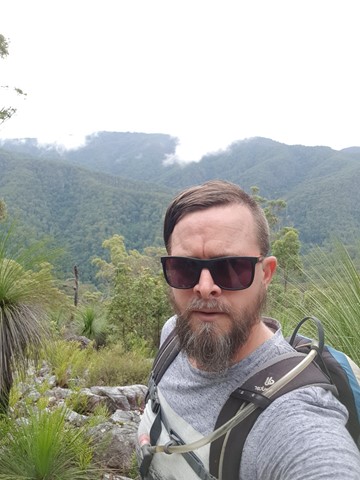
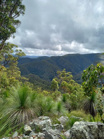
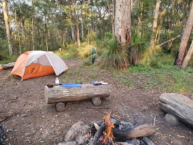
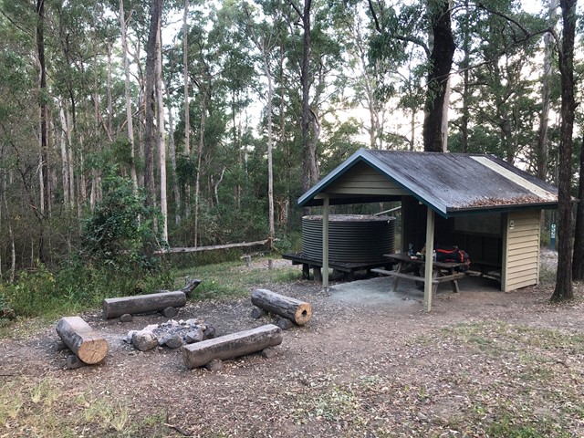
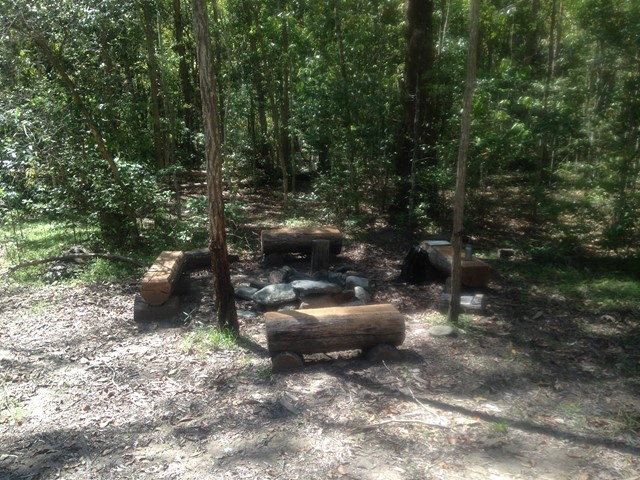
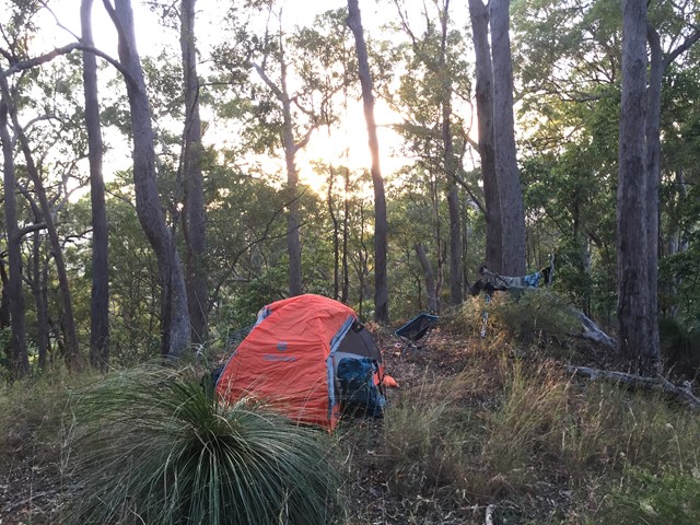
Northbrook Mtn bush camp walk
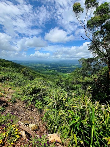
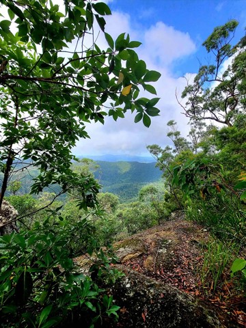
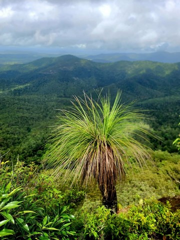
Remote bush camping on a high ridge overlooking Kipper Creek in wet sclerophyll forest. Northbrook Mountain summit is approximately a 15-minutes walk from the campsite. The summit affords extensive views looking south across the England Creek catchments and is covered in mountain heath, where wildflowers bloom between winter and spring.
Some areas thick with bell miners but away from them plenty of other species.
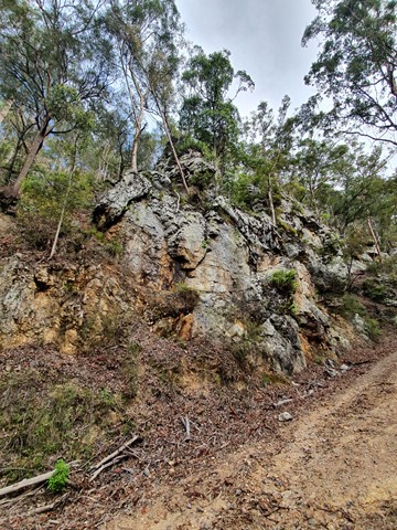
There is a much nice alternate, albeit less obvious or well trodden route to the lookout near the camp.
Follow the path as normal - once you see the sign AS0361 there is a steep(ish) oot track on the left. If you download What3words the exact location (revisited.sharks.silent). This route is slower going and often quiet steep but considerably more scenic off the 4wd 🚙 track.
If taking it from the lookout, just follow the ridge line at the lookout and you’ll notice a footpath. The Initial descent is tricky but don’t let that scare you off. Once you get going the scenery is great.
 1
km
return
30
mins
1
km
return
30
mins
Piccabeen Walk
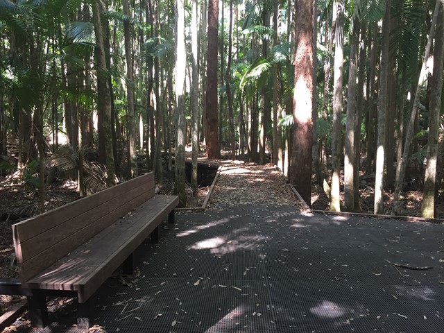
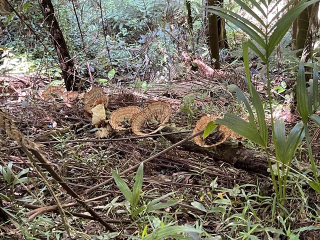
Wander along this trail to discover D’Aguilar National Park’s oldest trees—Sydney blue gums—and lush groves of piccabeen palms.
 2
km
return
1
hr
2
km
return
1
hr
Post Office Track
Short walk between the Booroomba picnic area and the post office at Mount Nebo. A short walk with some fairly interesting features with some few steps up and down. Walk a little further and grab a coffee at the cafe.
 2
km
1
hr
2
km
1
hr
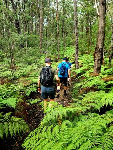
Rainforest Circuit
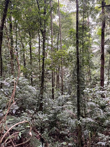
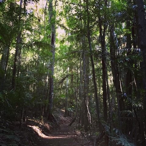
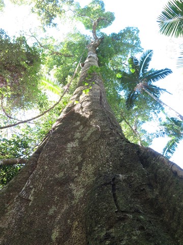
This walking track starts at Maiala day-use area and winds through stunning subtropical rainforest. Appreciate the majestic beauty of the old Sydney blue gum, a sole survivor of the eucalypt forest that was once the dominant vegetation here. This track joins Cypress Grove and a section of Greenes Falls walking tracks. Parking is available at Maiala car park. An easy walk for most fitness levels.
 600
m
return
30
mins
600
m
return
30
mins
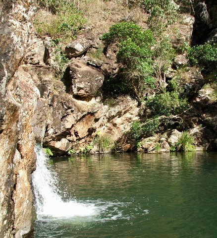
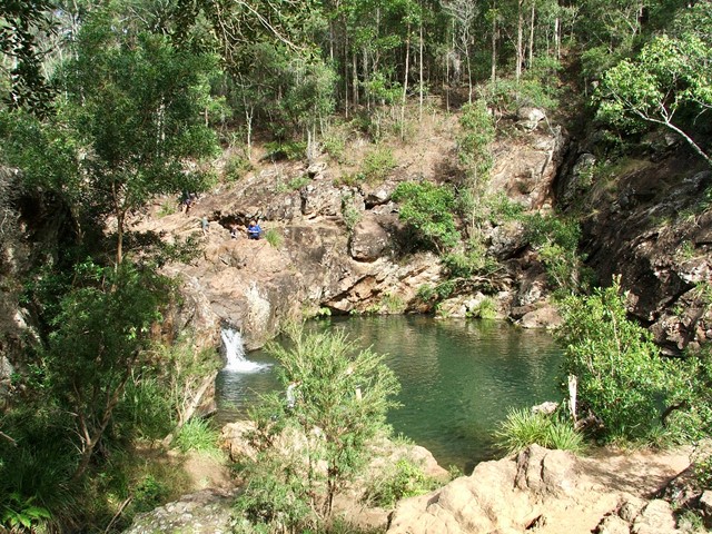
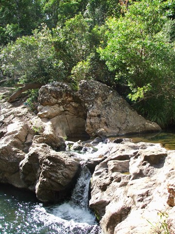
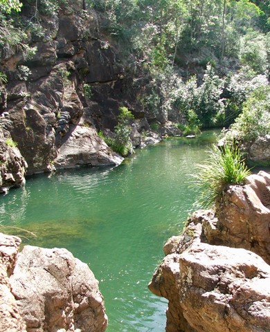
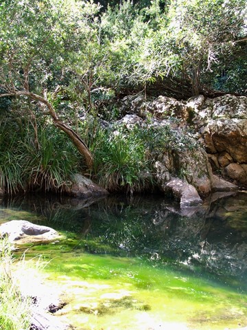
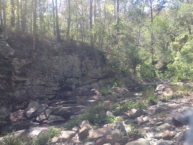
Rocky Hole
A short walk down to the crystal clear cooling waters of Rocky Hole for a very welcome swim on a hot day.
 8
km
2.5
hrs
8
km
2.5
hrs
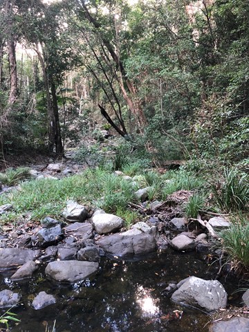
Scrub Road bush camp walk
Remote bush camping in open eucalypt woodland among magnificent spotted gums, ironbarks and grey gums.
 13
km
return
3
hrs
13
km
return
3
hrs
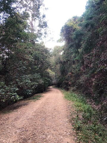
Somerset Trail
A pleasant circular walk through open and pine forest as well as pockets of rainforest. At around the halfway point, there are a series of lookouts over Somerset Dam to the north and Lake Wivenhoe to the south, with a backdrop of the far mountain ranges.
This area was heavily logged, hence the saw mill at The Gantry and evident by the 'plank' groves on some of the old tree stumps.
 10
km
6
hrs
10
km
6
hrs
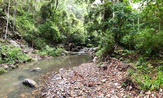
South Kobble bush camp walk
Remote bush camping in open forest beside Kobble Creek.
 300
m
return
5
mins
300
m
return
5
mins
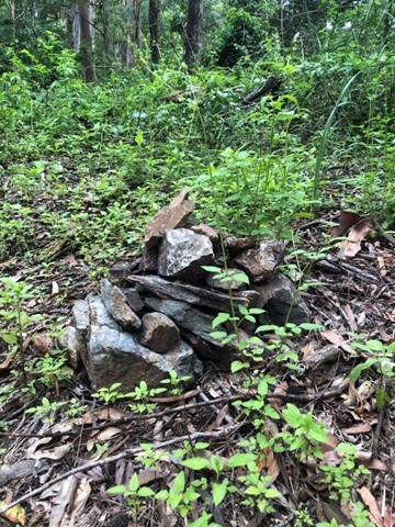
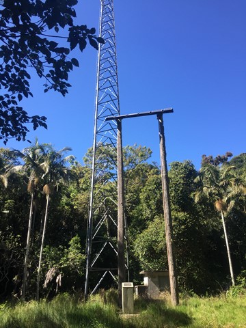
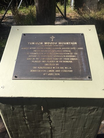
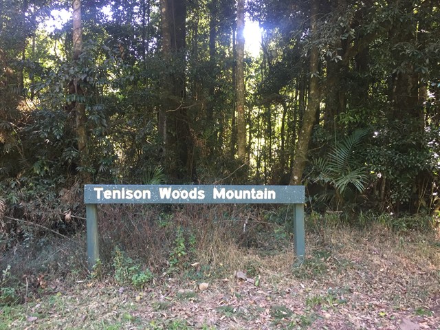
Tenison Woods Mountain
A short walk to the summit of Tenison Woods Mountain the tallest mountain in the D'Aguilar Range at 770 metres through some rain forest to the summit clearing with repeater tower.