
Menu
Popular Walks
-
Mt Ngungun
(1120 ticks) -
Mount Coolum
(849 ticks) -
Mt Cordeaux
(646 ticks) -
Twin Falls Circuit
(614 ticks) -
Purling Brook Falls Circuit
(593 ticks)
Parent Regions
Sub-Regions
- Amamoor State Forest
- Bellthorpe National Park
- Brisbane City Council Local Walks
- Brisbane Forest park D'Aguilar National Park
- Brisbane Valley Rail Trail
- Coombabah Lakelands Conservation Area
- Daisy Hill Conservation Park
- Eumundi Conservation Park
- Glass House Mountains National Park
- Glen Rock Regional Park
- Gold Coast
- Ipswich
- Jimna State Forest
- Karawatha Forest
- Kondalilla National Park
- Lamington National Park
- Main Range National Park
- Mapleton National Park
- Moggill Conservation Park
- Moogerah Peaks National Park
- Moreton Island National Park
- Mt Barney National Park
- North Stradbroke Island - Minjeeribah
- Parklands Conservation Park
- Springbrook National Park
- Sunshine Coast
- Tamborine National Park
- White Rock - Spring Mountain Conservation Estate
Summary
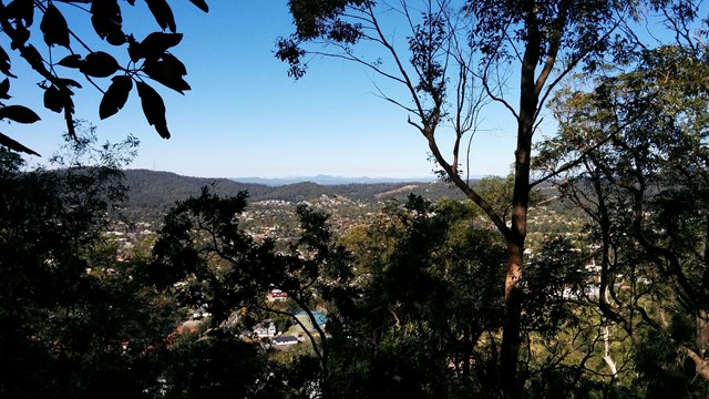
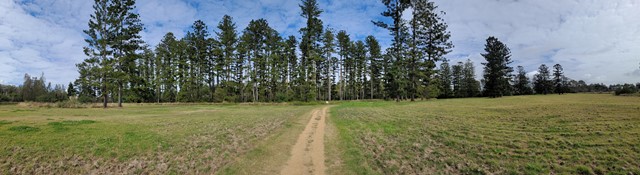
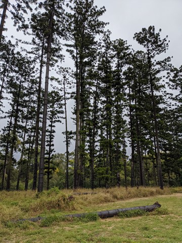
Boarding NSW and the pacific Ocean, it is not uncommon for hikes to have views of both worlds (ocean and hinterland). Hikes here are typically on the great dividing range.
Popular Walks
-
Mt Ngungun
(1120 ticks) -
Mount Coolum
(849 ticks) -
Mt Cordeaux
(646 ticks) -
Twin Falls Circuit
(614 ticks) -
Purling Brook Falls Circuit
(593 ticks)
Parent Regions
Sub-Regions
- Amamoor State Forest
- Bellthorpe National Park
- Brisbane City Council Local Walks
- Brisbane Forest park D'Aguilar National Park
- Brisbane Valley Rail Trail
- Coombabah Lakelands Conservation Area
- Daisy Hill Conservation Park
- Eumundi Conservation Park
- Glass House Mountains National Park
- Glen Rock Regional Park
- Gold Coast
- Ipswich
- Jimna State Forest
- Karawatha Forest
- Kondalilla National Park
- Lamington National Park
- Main Range National Park
- Mapleton National Park
- Moggill Conservation Park
- Moogerah Peaks National Park
- Moreton Island National Park
- Mt Barney National Park
- North Stradbroke Island - Minjeeribah
- Parklands Conservation Park
- Springbrook National Park
- Sunshine Coast
- Tamborine National Park
- White Rock - Spring Mountain Conservation Estate
History
Any interesting history for the region?
Features
What are the standout bushwalking features?
Access
How do you get there? Include all access points if there are many?
Maps
Which maps cover the region?
Accommodation
Where can I stay there? or near there?
Camping
Council Areas:
- Scenic Rim Regional
- Gold Coast City
- Logan City
- Redland City
- Ipswich City
- Lockyer Valley Regional
- Brisbane City
- Somerset Regional
- Moreton Bay Regional
- Sunshine Coast Regional
- Noosa Shire
Contact details
See Qld National parks website
Walks in Brisbane City Council Local Walks

 7
km
one-way
7
km
one-way
 2
hrs
2
hrs
Kedron Brook Walk
Walkway along the Kedron Brook, traversing Grange Heights, Stafford, Gordon Park, Kedron, Toombul. Mostly following the Kedron Brook Bikeway.
Grinstead Park to Toombul Station or reverse.
 3.4
km
return
90
mins
3.4
km
return
90
mins
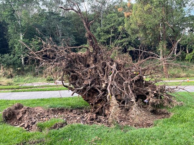
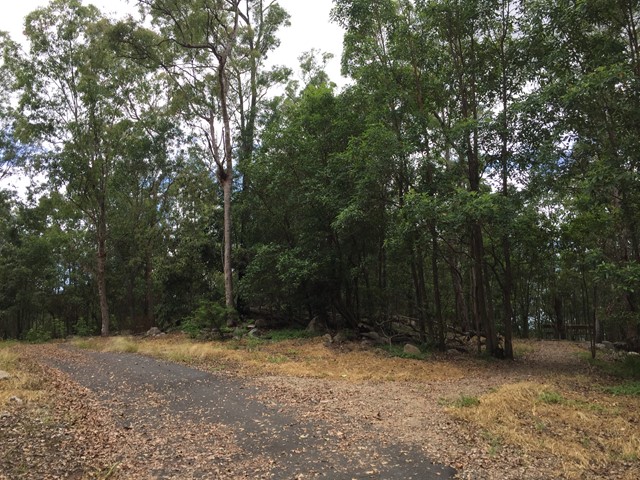
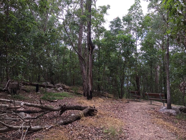
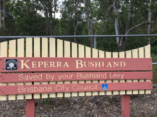
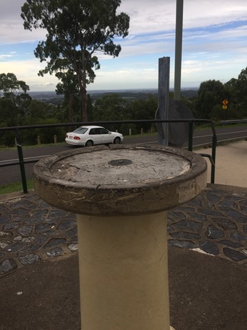
Keperra Bushland Lookout
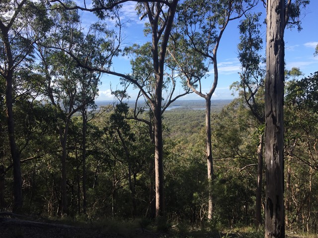
A steep paved walk to the top of the Keperra Lookout. There are seats at the summit to look over Mount Coot-tha and the Flinders Peak group in the distance. The track loops back down a steep and loose fire trail which drops off the North side of the summit.
 2.8
km
return
1
hr
2.8
km
return
1
hr
Kimberley Forest Park
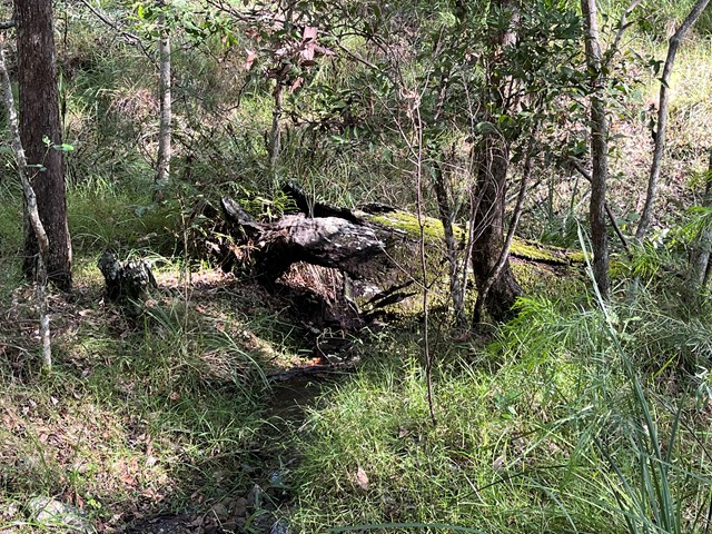
Open eucalypt forest and rain forest pockets along a seasonal creek.
 1.1
km
return
30
mins
1.1
km
return
30
mins
Lota Creek Circuit
Part of the Bayside Parklands ..
This circuit walkway, of which part is a boardwalk, links the formal parkland areas of Lota to the natural reserve areas of Ransome. It passes across Lota Creek, past saltmarshes and paperbark forests before entering the dry eucalypt forest common to this area.
Suited to: walking, wheelchair assisted
Habitat: mangroves, saltmarshes, dry eucalypt and paperbark forests
Must: walk the boardwalk
 4
km
return
1
hr
4
km
return
1
hr
Minnippi Parkland Circuit
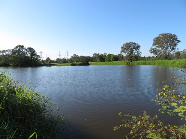
These beautiful lush hectares of meadowland in the centre of Brisbane’s east have at their heart one of the rare surviving lagoons from pre-settlement days when low lying areas around the city fringes featured hundreds of them.
 4.3
km
return
1
hr
4.3
km
return
1
hr
Mookin-bah Reserve
There are a number of trails in the Mookin-bah Reserve. All relatively short but can be combined to walk a little over 5km. This walk started at the Greencamp Road entrance and took the Lorikeets then h9neyeater tracks before merging onto the Fairy wren track and walking to Chelsea Road.
The track is signposted and straightforward with the only tricky part at the start of the walk. The walk starts in just a mown grassy track which quickly reaches an a junction that has no signs. Go left and you will quickly be on the bitumen path.
The return journey is approximately 4.3 km
 1.2
km
one-way
30
mins
1.2
km
one-way
30
mins
Mount Gravatt Summit Track
You will see creepers, ferns, shrubs and large trees on this winding track up the mountain. Once you reach the summit a breathtaking view is your reward. Admire the spectacular views from Mt Gravatt Outlook.
 4.5
km
return
4.5
km
return
Mount Petrie
This walk is unfortunately inaccessible as it traverses the Belmont shooting complex.
 4.6
km
return
1
hr
4.6
km
return
1
hr
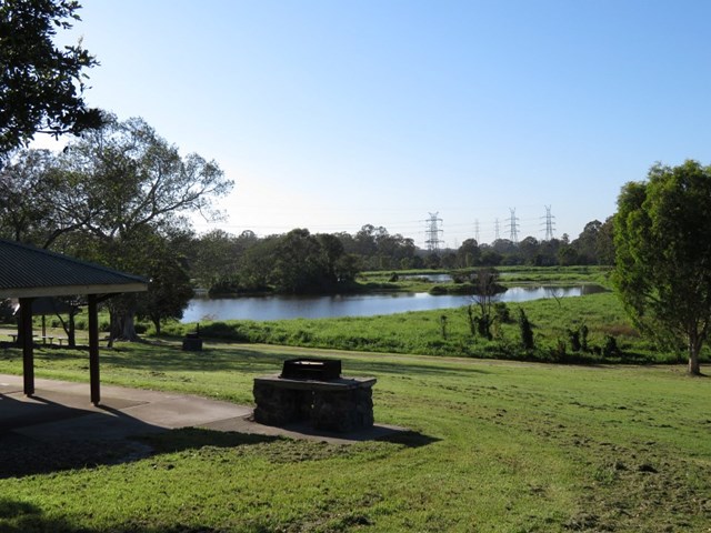
Oxley Creek Common-Secret Forest Walk
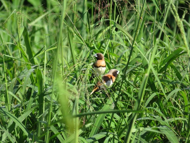
A serene patch of bird-inhabited wetland in the midst of an agricultural and industrial area, Oxley Creek Common has a couple of easy paved walking trails and picnic amenities for the visitor.
One trail leads from the picnic area and themed info and amenity block Red Shed and splits into two before ending at two different bird habitats. For those keen to spot some of the 180 plus species of bird that inhabit this space, the best times to walk are at dawn and dusk though ornithological tendencies are not required to enjoy these walks.
 1.3
km
return
30
mins
1.3
km
return
30
mins
Pomax Track
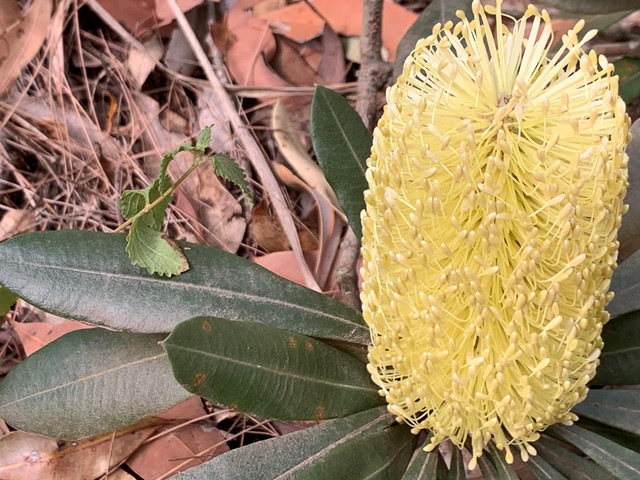
This track passes through heathland where you can see spectacular plants including pomax, banksia, native irises and keraudrenia. It is named after the locally rare heathland plant pomax.
Grade: difficult, steep hills
Suited to: bushwalking, birdwatching, flora walks
Habitat: heathland
Must: look for wildflowers in September