
Menu
Popular Walks
-
Mt Ngungun
(1152 ticks) -
Mount Coolum
(869 ticks) -
Mt Cordeaux
(667 ticks) -
Twin Falls Circuit
(635 ticks) -
Purling Brook Falls Circuit
(610 ticks)
Parent Regions
Sub-Regions
- Amamoor State Forest
- Bellthorpe National Park
- Brisbane City Council Local Walks
- Brisbane Forest park D'Aguilar National Park
- Brisbane Valley Rail Trail
- Coombabah Lakelands Conservation Area
- Daisy Hill Conservation Park
- Eumundi Conservation Park
- Glass House Mountains National Park
- Glen Rock Regional Park
- Gold Coast
- Ipswich
- Jimna State Forest
- Karawatha Forest
- Kondalilla National Park
- Lamington National Park
- Main Range National Park
- Mapleton National Park
- Moggill Conservation Park
- Moogerah Peaks National Park
- Moreton Island National Park
- Mt Barney National Park
- North Stradbroke Island - Minjeeribah
- Parklands Conservation Park
- Springbrook National Park
- Sunshine Coast
- Tamborine National Park
- White Rock - Spring Mountain Conservation Estate
Summary
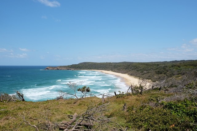
Boarding NSW and the pacific Ocean, it is not uncommon for hikes to have views of both worlds (ocean and hinterland). Hikes here are typically on the great dividing range.
Popular Walks
-
Mt Ngungun
(1152 ticks) -
Mount Coolum
(869 ticks) -
Mt Cordeaux
(667 ticks) -
Twin Falls Circuit
(635 ticks) -
Purling Brook Falls Circuit
(610 ticks)
Parent Regions
Sub-Regions
- Amamoor State Forest
- Bellthorpe National Park
- Brisbane City Council Local Walks
- Brisbane Forest park D'Aguilar National Park
- Brisbane Valley Rail Trail
- Coombabah Lakelands Conservation Area
- Daisy Hill Conservation Park
- Eumundi Conservation Park
- Glass House Mountains National Park
- Glen Rock Regional Park
- Gold Coast
- Ipswich
- Jimna State Forest
- Karawatha Forest
- Kondalilla National Park
- Lamington National Park
- Main Range National Park
- Mapleton National Park
- Moggill Conservation Park
- Moogerah Peaks National Park
- Moreton Island National Park
- Mt Barney National Park
- North Stradbroke Island - Minjeeribah
- Parklands Conservation Park
- Springbrook National Park
- Sunshine Coast
- Tamborine National Park
- White Rock - Spring Mountain Conservation Estate
History
Any interesting history for the region?
Features
What are the standout bushwalking features?
Access
How do you get there? Include all access points if there are many?
Maps
Which maps cover the region?
Accommodation
Where can I stay there? or near there?
Camping
Council Areas:
- Scenic Rim Regional
- Gold Coast City
- Logan City
- Redland City
- Ipswich City
- Lockyer Valley Regional
- Brisbane City
- Somerset Regional
- Moreton Bay Regional
- Sunshine Coast Regional
- Noosa Shire
Contact details
See Qld National parks website
Walks in Sunshine Coast

 6
km
return
6
km
return
 90
mins
90
mins
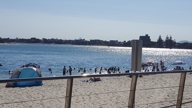
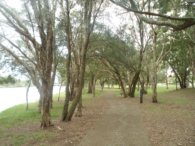
Golden Beach to Bulcock Beach (SCCP 2)
This 2nd section of the Sunshine Coast Coastal Pathway (SCCP) is always busy with people taking a stroll or enjoying the beaches, water activities and the views across to Bribie Island.
 2.1
km
return
1
hr
2.1
km
return
1
hr
Heath Track
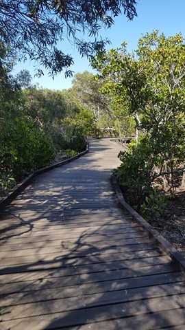
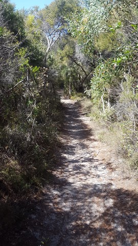
A short walk through the coastal heath of Currimundi Lake (Kathleen McArthur) Conservation Park, with many flora and fauna informative signs along the way.
 5.4
km
return
90
mins
5.4
km
return
90
mins
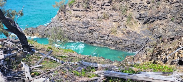
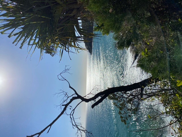
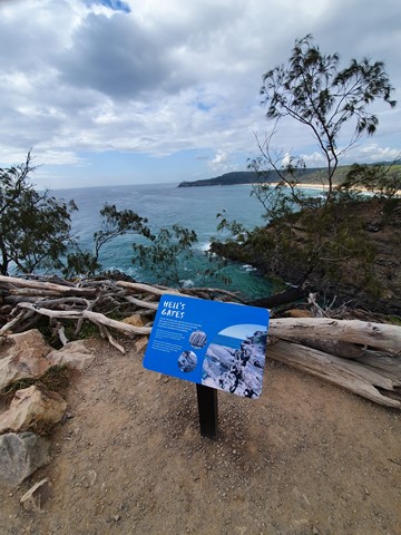
Hell's Gates walk
Coastal track on the northern side of Noosa National Park with great ocean views before returning over the hill on the Tanglewood track.
 9.6
km
return
3
hrs
9.6
km
return
3
hrs
Imbil Brooloo Rail Trail
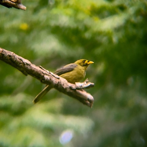
Opened in July 2019, this rail corridor has thankfully been restored to provide a beautiful track for walkers, cyclist and horse riders. A highlight is its passage through Bell Bird Park, where a colony of more than 120 Bell Birds provide a continual chorus for visitors.
 6
km
return
4.5
hrs
6
km
return
4.5
hrs
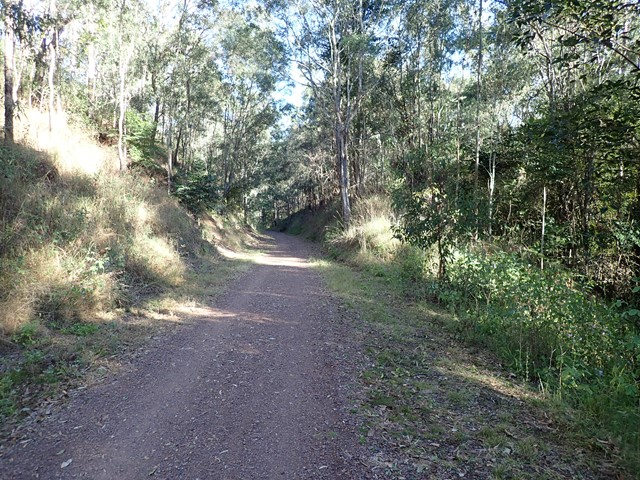
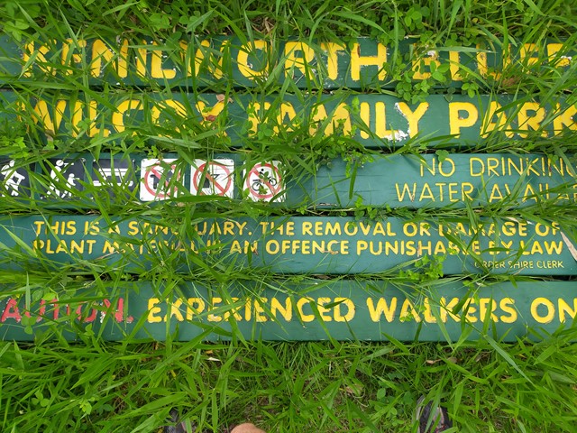
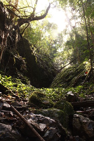
Kenilworth Bluff - Wilcox Family Park Trail
A seldom used trail through a mixture of woodland and rainforest to the top of the bluff. Make your way up and across to numerous lookout points with spectacular views..
 14
km
return
3.5
hrs
14
km
return
3.5
hrs
Kin Kin Countryside Loop
Good comfortable hike through picturesque landscape
 1
km
return
30
mins
1
km
return
30
mins
Koala Park
A short easy walk down and up the hillside. It will get the heart pumping if you choose to go up the steps. Great for kids too as there is a playground at the top with BBQs.
1.6
km
return
1
hr
Lagoon Walk
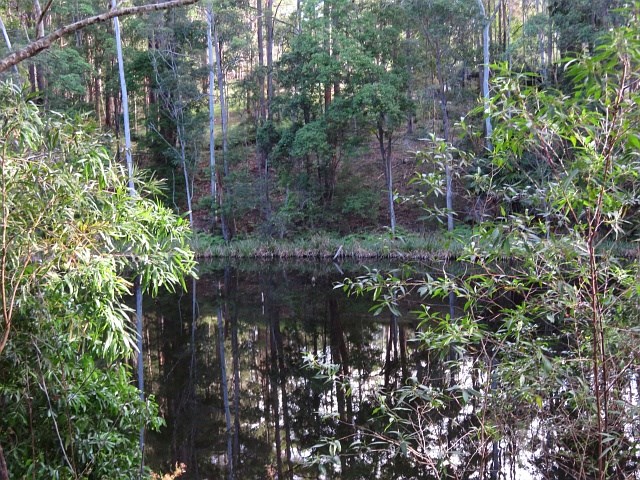
A circular walk in the Maroochy Botanic Garden, this popular natural terrain bush track follows the banks of the lagoon. The open forest ecosystem has remnants Bloodwood, Blue Gum and Tallowwood in the canopy, while Piccabeen Palm and Tree Ferns fringe the rocky gullies and bridges along the track.
 1
km
one-way
45
mins
1
km
one-way
45
mins
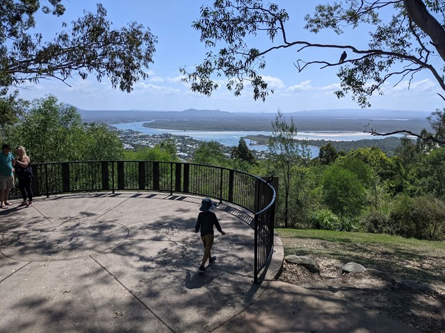
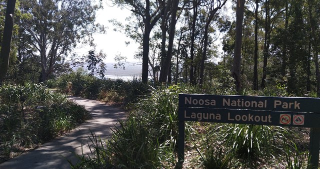
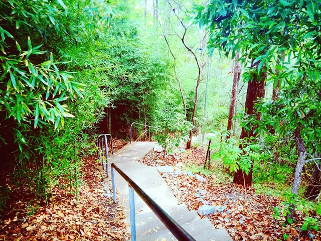
Laguna Lookout
Laguna Lookout, very easy walk for adult/kids
https://goo.gl/maps/ZARnXdNyks25tvSb8
 200
m
return
5
mins
200
m
return
5
mins
Lara Steps
148 concrete steps on part of Mount Buderim, with trees surrounding. It is short with no particular features and used mainly by people of all ages keeping fit.