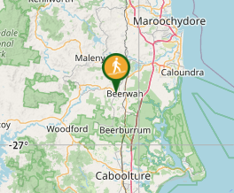
Mt Coochin (East and West Peaks)

Glass House Mountains National Park

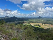
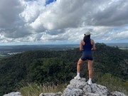
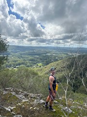
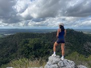
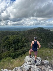
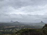
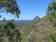
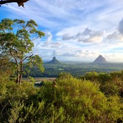
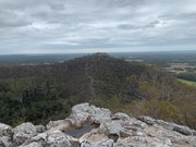
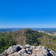
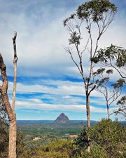
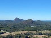
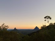
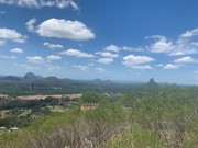
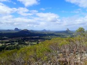
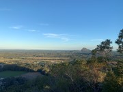
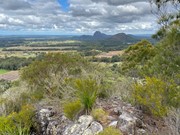
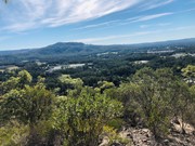
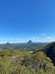
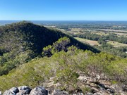
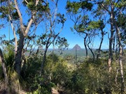
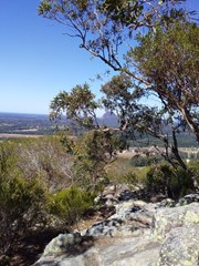
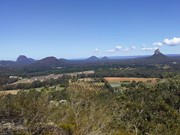
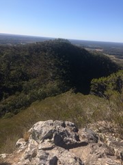
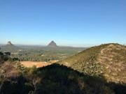
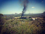
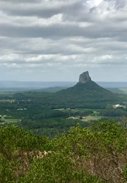
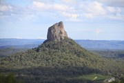
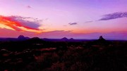
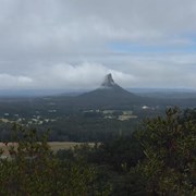
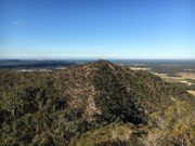
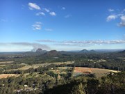
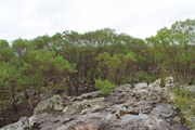
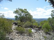
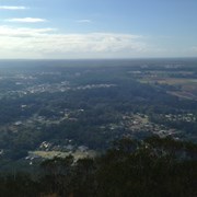
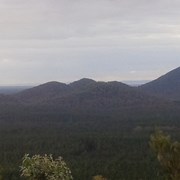
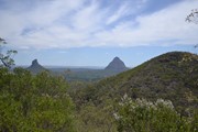
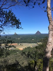
This is a great scramble on a pretty twin peak mountain, with some outstanding views of the Glass House Mountains region to the south and the Brisbane CBD in the far distance.

Lookouts
Scrambling or Climbing
No Dogs Permitted
No Camping Permitted
Eucalypt Forest
237m
Maximum Elevation
182m
Total Climb

Getting there:

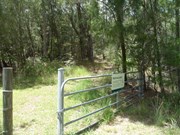
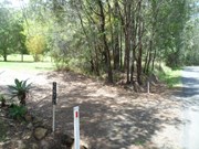
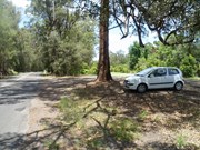
Take the Steve Irwin Way off the Bruce Highway and turn west into the Beerwah township. Follow the Kilcoy-Beerwah/Peachester Road and turn left into Old Gympie Road. After 1km, turn into the driveway of house number 2,672 and to the right, follow the fence past the palm trees and park near the gate with Mt Coochin National Park sign.

Maps:

Glass House Mountains

Route/Trail notes:

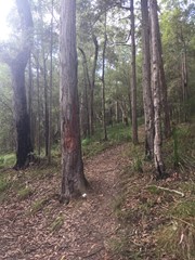
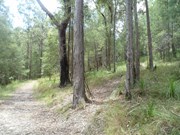
You have two option here: up and back or up and over! Past the gate, follow the track for 50m to your right to the intersection (this track circumvents the whole mountain) turn left and after 100m, look for the trail on your right, which is marked with pink flagging tape.

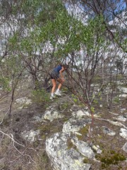
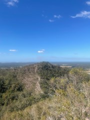
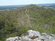
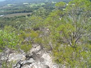
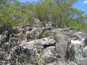
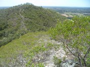
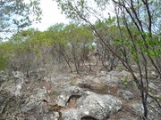
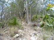
Follow this path steeply uphill until you reach the first summit. After exploring this area, face the second summit and follow the obvious ridge down. At the bottom, is a gully with steep sides; take care descending and follow a faint path up the other side; in some places it requires some scrambling. When you arrive at the second peak, have a good look round and see the other peaks in the area.

Return the way you came, or follow a very, very faint trail heading South East (now has pink flagging tape), which steeply descends towards the 'circumvention' track, where you turn left back to the start.

There is also another track down heading directly north. It is easy to lose the trail and you may well find yourself 'bush-bashing' down the steep overgrown gully cliff face. Once you hit the bottom 'circumvention' track, turn left to return to your start point.

Permits/Costs:

None.

Other References/Comments:

Be aware, that the South Eastern and Northern tracks down are not well defined, slippery with plenty of loose rock.

Comments

Nice easy hike to the summit, reminded me a lot of Mt Coolum. Views from the Western (larger) summit were good, however slightly blocked by scrub. Was nice seeing all the Glasshouse Mountains from the north for once. The track is very well marked, was expecting it to be like Mt Miketeebumulgrai but was pleasantly surprised.

Vonsnrub on 26 Jan, 2019

I personally prefer to keep walking another 300m and ascend the eastern peak. The trail up this peak is slightly harder to spot but still pretty obvious (its about 50m past the fern filled creek). This first ascent will be slightly harder than the western peak but makes for an easier trip overall as you don't need to descend this way (smooth rocks vs regular trail on the west peak) or backtrack over the western peak again.

The descent and climb of the western peak is much easier this way, and although it is rockier I wouldn't call any part of this hike a scramble.

If you're just after the great views I would recommend just going up this way and returning the same way. The western summit offers little views.

greatsouthernman on 5 Jan, 2019

Enjoyed this walk. Went the wrong way at the intersection and ran into some houses but turned around and got back on the right track.
Good cardio on the way up. Was concerned about the scrambling but it wasn’t an issue, was able to walk up without using my hands and my fear of heights wasn’t activated. Will do again!!

Tegan on 25 Dec, 2018

Love this mountain! Beautiful views. Moderate scramble between mountains.

Rebecca on 24 Nov, 2018

Partner and I have done this climb multiple times from both directions. Excellent exercise, great views. If you're looking for a view with a quick bushwalk where you're unlikely to see any people, this is a great option. Definitely do both peaks, as there is a lot of wildlife to be seen andneach oeak has slightly different scrub up the top which means different exoskeletal critters.

The climb is also great excercise - you're in the sun a fair bit so slip slop slap and on this climb it is definitely advised that you take water (especially since the track isn't massively defined). We've seen snakes up here, so keep your eyes peeled and you might spot one!

QldClimberWalker on Oct, 2018

What a wonderful walk. Couldn’t find the south-east track at all ... maybe next time I’ll look harder for it.
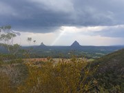
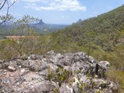
Great views and I had the track all to myself (for the better part).

Stephen M on 16 Sep, 2018

Amazing views from the top was the reward after 20 mins vertical climb from the beginning.

Samantha on 7 Jul, 2018

Came from the South end - off the usual track and went down off track as well. Did it with a group from Meet Up. Easy - an hour return. Good leg burner as we kept stepping up on rocks.
Bush bashing most of the way up from the south end.

CL on 1 Jul, 2018

Lots of Loose Rocks

Nikki on 8 Jun, 2018

Fairly good trek, look out for loose rocks on the way down if the first peak.

Caleb J. Stanton on 24 May, 2018

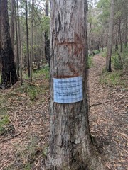
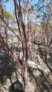
Great hike with views that are different from a lot of other view points. Well worth it. There is no pink tape anymore, the track is marked by a large tree with a marking in it.

Jade on 11 May, 2018

We had a great time on this one. We loved the absolutely awesome views out to the other peaks. Will do it again!

Amy L on 22 Apr, 2018

Amazing views! Climbed the steep 20 minute ascent to the top and blown away by the beauty. Um’d & Ah’d about heading over the the East peak but so glad we did. 25 minutes down and up to the East Peak. Definitely worth the visit!

Natalie on 7 Apr, 2018

Mt Coochin is nearly an untouched heaven and beauty of 2 great peaks in 1 hike. West and East summits and a nice scramble in-between.
No back tracking on this one and up the West summit track which is steep and loose rocks and down the East scramble to the East peak. A few option here but heading north is great for the circuit. No crowds and a great escape for a an hour or so. Been regularly and will keep going back. A little clip for this one we did below

https://www.youtube.com/watch?v=XPr4moHn-9A

KidBear on 20 Mar, 2018

Steep climb up, with a bit of rock scrambling between peaks. Quieter mountain, not many people seem to climb it. We went up one way, crossed the saddle and down the other way. Can't really get lost on this hike, if you reach a fence just follow it back to the carpark :)

Take a Hike on Oct, 2017

This walk was an interesting one. It took a bit to find the entrance to the walking track, but once located on the southern side behind a gate, we scrambled up to the top and across to the 2nd summit. Our decent was a little less than glamorous as we followed what we thought was an rather ill defined track. It turned out to be an animal track that came out in someones back yard. Thankfully the cars weren't too far away.

Glam78 on 14 Aug, 2017

A lovely walk - just perfect for a winter's day with the family. Definitely need to follow the 10 steps from the poster below to find the trail route. We found that 'the tree' marking the route has a cross inscribed in the bark if that helps :)

Kerensa on 22 Jul, 2017

Nice and quiet, great views

drewmac on 9 Jul, 2017

Once you enter the track by the national park sign, there's another tack off to the right, we ignored that and took the next right track after 100m or so. It's a steep climb up to the top of the first peak, but nothing too difficult, just a bit of work for your thighs especially if you are carrying a heavy pack. From the top of the first peak you can see the vague trail that goes pretty much in a straight line to the second peak, down and up a seam of chalky surface rock (limestone?) you can see where walkers have crushed soft stones under foot, but if in doubt just go as straight as possible it's a narrow stretch of rock with steep drop-offs either side. It only takes about 25 mins to get from the first peak to the second, but there is a little bit of scrambling involved. Well worth it for the views

Bushman_Kip on 28 May, 2017

I'm very bad at reading instruction, so the first challenge was finding the start of the trail! We missed the entrance and started from the south and had it not been for a local guy we met on the surrounding track, we would never have got to the top. Have now rewritten the 'getting there' section.

Second attempt we pink taped to the bottom of the gully between the two peaks; sorry guys, ran out of tape at that point! We ascended through the clouds and could not even see the second peak, but as they cleared, we were presented with an absolutely spectacular view of the clouds swirling around Beerwah, Coonowrin and Tibrogargan. Loved it!

F.A.B. on 11 Jul, 2016

Where

Click here to load this map.

Nearby Walks

Done this walk?

This walk has been ticked 344 times

Aussie Bushwalking can keep track of your bushwalks.

Login/signup to tick this walk off.

Tick walks to keep track of where you've been. You must Login to tick walks. Accounts are 100% free so sign up if you don't have one.