Mt Coochin (East and West Peaks)

Glass House Mountains National Park

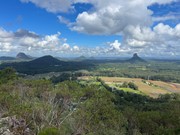
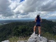
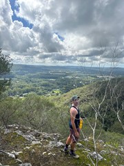
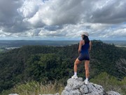
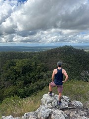
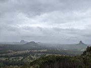
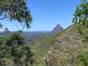
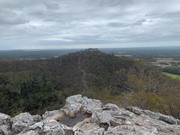
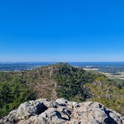
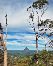
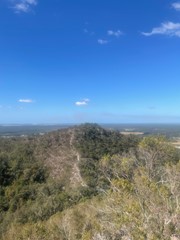
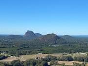
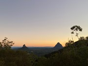
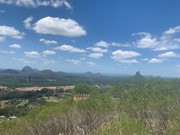
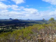
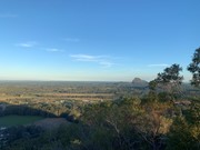
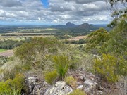
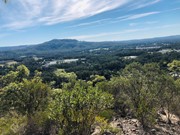
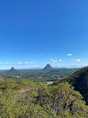
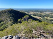
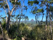
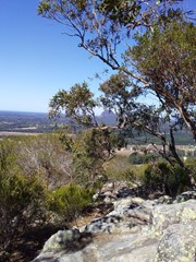
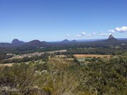
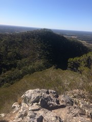
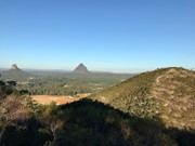
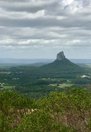
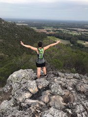
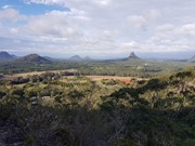
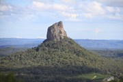
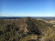
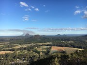
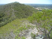
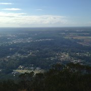
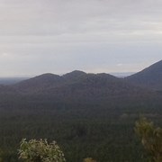
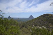
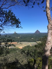
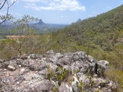
This is a great scramble on a pretty twin peak mountain, with some outstanding views of the Glass House Mountains region to the south and the Brisbane CBD in the far distance.

Lookouts
Scrambling or Climbing
No Dogs Permitted
No Camping Permitted
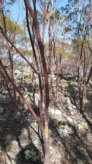
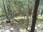
Eucalypt Forest
237m
Maximum Elevation
182m
Total Climb

Getting there:

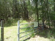
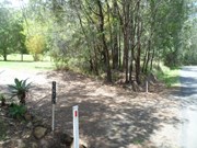
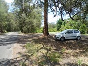
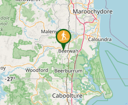
Take the Steve Irwin Way off the Bruce Highway and turn west into the Beerwah township. Follow the Kilcoy-Beerwah/Peachester Road and turn left into Old Gympie Road. After 1km, turn into the driveway of house number 2,672 and to the right, follow the fence past the palm trees and park near the gate with Mt Coochin National Park sign.

Maps:

Glass House Mountains

Route/Trail notes:

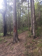
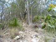
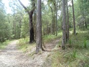
You have two option here: up and back or up and over! Past the gate, follow the track for 50m to your right to the intersection (this track circumvents the whole mountain) turn left and after 100m, look for the trail on your right, which is marked with pink flagging tape.

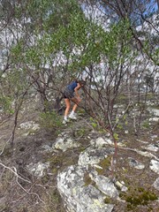
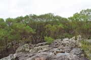
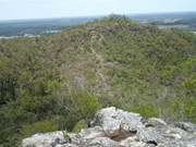
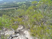
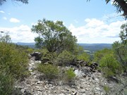
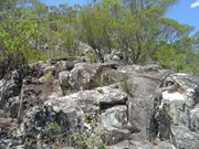
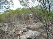
Follow this path steeply uphill until you reach the first summit. After exploring this area, face the second summit and follow the obvious ridge down. At the bottom, is a gully with steep sides; take care descending and follow a faint path up the other side; in some places it requires some scrambling. When you arrive at the second peak, have a good look round and see the other peaks in the area.

Return the way you came, or follow a very, very faint trail heading South East (now has pink flagging tape), which steeply descends towards the 'circumvention' track, where you turn left back to the start.

There is also another track down heading directly north. It is easy to lose the trail and you may well find yourself 'bush-bashing' down the steep overgrown gully cliff face. Once you hit the bottom 'circumvention' track, turn left to return to your start point.

Permits/Costs:

None.

Other References/Comments:

Be aware, that the South Eastern and Northern tracks down are not well defined, slippery with plenty of loose rock.

Comments

Nice hike and recommended to families who want a little adventure without the massive crowds of Ngungun hiking track. The track is easy to follow and can be done as a loop with the luxury of 2 peaks and awesome views over all Glasshouse plugs. Only few short scrambly sections but easy to manage.
Anonymous on 3 Jun, 2016

I completed this hike without being aware that here is a track, I just ascended from the east side and scrambled through the bush. Lots of scratches and I don't recommend it! haha

CamronDixon on 27 Apr, 2016

Decided to check this out after I did Mt Beerwah the same morning so i was already tired.
Followed the instructions to a tee. Everything was easy to follow and it wasnt too strenuous.

It was quite a fun little double peak and I will certainly be back!

dalehikes on 17 Apr, 2016

Initially could not locate the access point however after checking on here I followed the directions as given by the anonymous poster below with the 10 point guide that starts with:

1. Park approximately across the road from 2672 Old Gympie Rd, Beerwah

Found his guide to be very accurate and had no further problems whatsoever.

Worth noting that a lot of the mountain is exposed, so prepare accordingly.

MDWL on 9 Apr, 2016

Enjoyable walk with some challenges. Took 3 hours to complete the West and East Peaks loop. Did take wrong turn at start and retraced back to the intersection.

kearnesie on 20 Mar, 2016

The walk was enjoyable, completed the up hill climb in 45 mins. the track up the hill is marked with sticks leaning up against a tree. I lost part of the track for a short time at the begining

paul Incoll on 4 Feb, 2016

Thanks for the track notes.

The track today 29 December was very clear and quite obvious for about 99% of the way.

Stunning views all round. Great little walk!

Lachlan MacDonald on 29 Dec, 2015

At first I couldn't find the track, but when I did, I went up the northern face of the western mountain, across the gully and then back down the NORTHERN face of the eastern mountain. However, you can also go down the southern face of the eastern mountain as per the route/trail notes, and walk back around the mountain to your starting point.

I have uploaded a GPX file that I recorded. Unfortunately it includes a few detours and missing data. So I have cleaned up/reconstructed the GPX file as best I could and uploaded that as well. I hope the following will help as well...

1. Drive to 2672 Old Gympie Rd, Beerwah

2. Turn into what appears to be 2672's driveway, but then turn right into a small section out the front of 2672's property.

3. Follow this section to the fire trail entrance marked "National Park" (See Photos)

4. Walk past the gate and turn right onto the fire trail

5. Turn left at the first intersection (there is second fire trail that branches off the first)

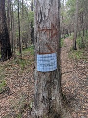
6. Continue along this fire trail until you see a tree on your right with a number of sticks leaning against it (as of 7/11/2015) and a faint track leading up the mountain (See Photos, Lat: -26.86125 Lon: 152.93138)

7. Follow this (sometimes vague) track to the peak of the western mountain. From there you should be able to see a rock scramble which travels up the eastern mountain. (See Photos)

8. A few meters beyond the peak, there is a rock scramble down western mountain and then back up the eastern mountain, essentially allowing you to cross the saddle. Wearing good shoes and taking your time is recommended.

9. From the eastern peak, continue along the (sometimes vague) track in a (generally) north/north-northwest direction along the mountain top and then all the way back down to the fire trail. A GPS with a map that displays basic contour lines made things alot more easier for me. (See Photos + GPX files). You will have to do a little bit of bush bashing towards the bottom but if you continue in a (generally) north/north-northwest direction and use the houses at the bottom of the mountain as a guide, it won't be far to the fire trail.

10. Follow the fire trail back to the starting point

Anonymous on 7 Nov, 2015

Great walk, however we lost our way a few times which resulted in a lot of bush bashing.

Samuel Jones on 17 May, 2015

I just went back up this with no kids and did both peaks. Great views although it was a bit smokey today. 57 minutes car to car and I had a drink and banana at the eastern peak for 5 minutes :)

Track is pretty easy to follow and would be hard to lose. I have removed quite a few branches on the last two trips that were hiding/blocking the path. I think this will become my new exercise hill as its longer and closer to home.

Rienoh on 28 Apr, 2015

Just got back from doing this. We only went up to the western peak as I had my 5.5yo daughter and my 3.5yo son (who has his arm in a cast) with me. 1 hour 20 return with a drink and a snack at the top. I had to hold my sons hand most of the way as some of its quite loose.

Rienoh on 26 Apr, 2015

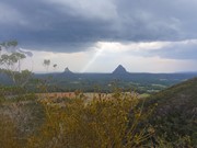
This is the second time we have done this walk. Last time we couldn't find the track. No problem this time I think mainly because we parked in the right place. The directions are really clear. However, to make it even clearer, the house number of the driveway that you drive into is 2672. You don't actually drive into their property though. The first part of the walk up to the first peak was easy to find. The view from the top is fantastic. The track between the two peaks is less easy to see in places, however it's pretty easy to navigate because you know where you're going. On the way down from the second peak we got way off the path. It was pretty steep in places and lots of loose rocks. We didn't see the cliff or the gully. I think we were heading too much in an easterly direction. If your planning on taking children, I would try the walk first without them to makes sure your comfortable with the track and know where you're going. However no problem with the first peak and just back-tracking down.
Ian and Sue on 8 Jul, 2014

Arrived here nice and early...did miss the entrance at first but then found my way. Bit slippery on steep bits due to rain over last few days but just felt so fresh, apologies to all the spiders whom had been working so hard at their webb, think I took some home afterwards ;-).
Comfortable climb most of way as with all careful where walking.

J on 17 May, 2014

Did this walk with my two kids, Liam (14) & Indigo (11). Ascended western peak via an obvious foot track. Path between two peaks was pretty obvious, although a bit of a scramble in places. Descended via northern ridge of eastern peak. Track hard to discern and loose rocks underfoot. A little tricky with my younger one. Once we reached the tree line the track pretty much disappeared but it was only a short scramble down to 4WD track and left back to car.

Grumps on 23 Dec, 2013

Couldn't find the stick arrow or the path up so we made our own way. Ended up on the eastern peak. It was quite hard walk up. We did find a path at the top but were a little confused as to which way we should be heading so tried to re-trace our steps back down. However we we found ourselves cutting a new path, and this was even harder. It was quite steep and the ground underfoot was quite loose. Found what looks like the path up when we got back down so we'll have to try again. It looks like the path is a little before the gully between the two peeks. All in all we had a good time and are looking forward to another try.

Ian and Sue on 15 Jun, 2013

Climbed the easier Western Peak with my 12yo daughter. An easy climb, but hard enough for her to complain. Good fun.

Phill Driver on 3 Sep, 2012

The most northern of the Glasshouse mountains- beautiful views!! Kids can climb to the western peak but taking them to the eastern peak would be risky. A nice challenge climbing down to the saddle and up the other side from the west to east peaks and vise versa. Would be unlucky to meet anyone else on the walk.

Alan Barrie on 16 May, 2011

Another nice walk however very slippery underfoot.

Laurence Hallam on 15 Dec, 2010

A great walk with interesting views. Will take kids on this one.

Laurence Hallam on 15 Feb, 2010

Took the nephew and Brother in law. Very slippery when wet!

Laurence Hallam on 21

Where

Click here to load this map.

Nearby Walks

Done this walk?

This walk has been ticked 344 times

Aussie Bushwalking can keep track of your bushwalks.

Login/signup to tick this walk off.

Tick walks to keep track of where you've been. You must Login to tick walks. Accounts are 100% free so sign up if you don't have one.