Mt Coochin (East and West Peaks)

Glass House Mountains National Park

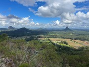
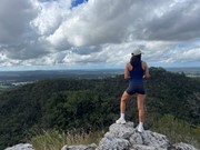
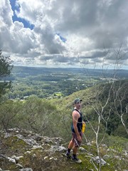
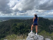
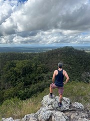
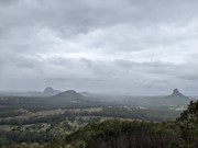
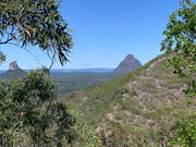
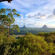
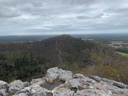
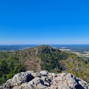
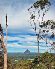
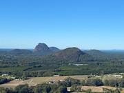
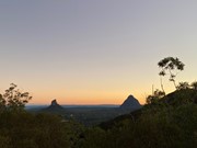
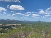
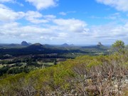
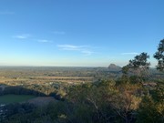
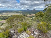
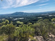
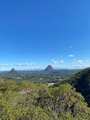
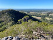
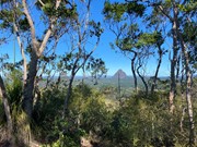
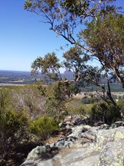
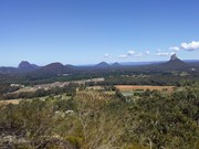
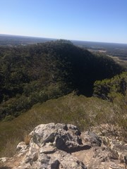
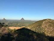
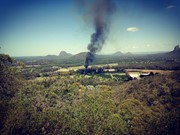
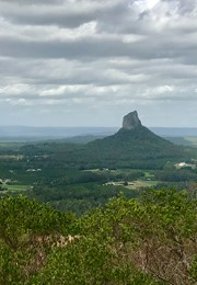
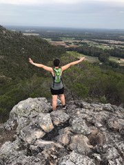
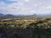
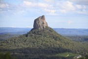
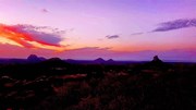
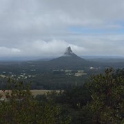
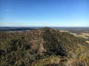
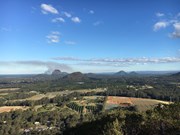
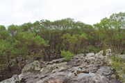
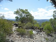
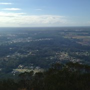
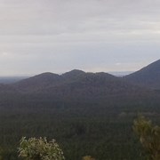
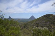
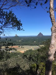
This is a great scramble on a pretty twin peak mountain, with some outstanding views of the Glass House Mountains region to the south and the Brisbane CBD in the far distance.

Lookouts
Scrambling or Climbing
No Dogs Permitted
No Camping Permitted
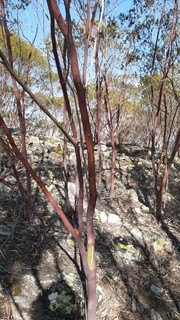
Eucalypt Forest
237m
Maximum Elevation
182m
Total Climb

Getting there:

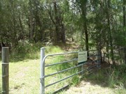
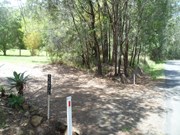
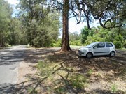
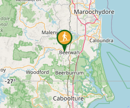
Take the Steve Irwin Way off the Bruce Highway and turn west into the Beerwah township. Follow the Kilcoy-Beerwah/Peachester Road and turn left into Old Gympie Road. After 1km, turn into the driveway of house number 2,672 and to the right, follow the fence past the palm trees and park near the gate with Mt Coochin National Park sign.

Maps:

Glass House Mountains

Route/Trail notes:

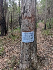
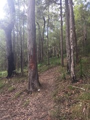
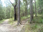
You have two option here: up and back or up and over! Past the gate, follow the track for 50m to your right to the intersection (this track circumvents the whole mountain) turn left and after 100m, look for the trail on your right, which is marked with pink flagging tape.

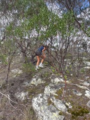
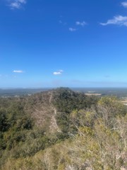
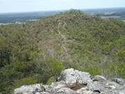
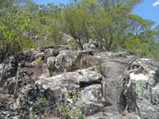
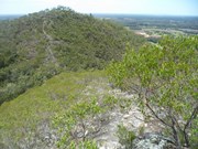
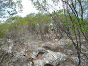
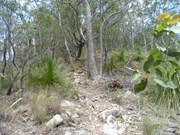
Follow this path steeply uphill until you reach the first summit. After exploring this area, face the second summit and follow the obvious ridge down. At the bottom, is a gully with steep sides; take care descending and follow a faint path up the other side; in some places it requires some scrambling. When you arrive at the second peak, have a good look round and see the other peaks in the area.

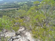
Return the way you came, or follow a very, very faint trail heading South East (now has pink flagging tape), which steeply descends towards the 'circumvention' track, where you turn left back to the start.

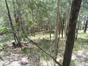
There is also another track down heading directly north. It is easy to lose the trail and you may well find yourself 'bush-bashing' down the steep overgrown gully cliff face. Once you hit the bottom 'circumvention' track, turn left to return to your start point.

Permits/Costs:

None.

Other References/Comments:

Be aware, that the South Eastern and Northern tracks down are not well defined, slippery with plenty of loose rock.

Comments

Four years ago, this was a 'seldom walked track', but now, even on a Monday, five other cars were in the car park. The tracks are now more defined, where previously they were hard to find, although unfortunately, well worn and in some placed very dangerous, particularly taking the South Eastern route down. I even took time out to 'pink flag' this route to help future bushwalkers.

F.A.B. on 8 Jun, 2020

Did this walk today. Great views. Would recommend returning via the first track. The SE track is challenging and quite steep. We actually lost the trail and ended up doing a bit of bushbashing.
Keithyburger on 7 Jun, 2020

Easy walk. I went in a group and it took us 2 hours, however the group really took their time so I think this would only take me 1 hour.
Clem on 7 Jun, 2020

Return back over 2 peaks

Kmxfitness on 3 Jun, 2020

Great little walk with nice views,

Dan on Jun, 2020

Great walk. The track up the west then the east peak is steep but nothing too crazy. However the SE Ridge track down the West Peak is very narrow, overgrown, and steep, and I honestly wouldn't recommend it unless you're comfortable doing very steep descents. It would be easier and probably more scenic to go back the way you came.

Sophie P on 30 May, 2020

Climbed Monday 18 May 2020 with Suzy, Tammy & Dave. Climbed West first then East. Found car park no problem based on directions from this site. Was dry here although showers on the coast. Would have been difficult to find start of West climb if it wasn’t for directions on this site. Climbed up northern side of West peak, then down & up to East peak. Great views from summit. Then carefully down south east track then followed fire trail back around to car park.

Nick.b on 18 May, 2020

Return via same mountains not the circuit

Kmxfitness on 10 May, 2020

Mount Coochin is one of the easier but more rewarding Glass House Mountains as it has two peaks with two different views and is a nice easy climb to the top. When you reach the most westerly summit there is a track to the eastern summit which is fun to climb down and up onto the eastern summit which personally, I prefer.

Apparently, popularity has grown for Mount Coochin in recent times, but weeds and trash are scarce so I wouldn't have known otherwise. This is what Ngungun used to be like, or so I am told.

basalamant on 2020

Great hike with short but challenging peaks. Slippery on the way back down.

Whicheverway on 11 Aug, 2019

The trail notes are pretty accurate, however if you take the SE Ridge trail back, which I don't recommend if you're not a bushwalker, turn left not right when you reach the circumvention track. If you go right you come out on a road.

Jeff on 4 Aug, 2019

Lovely! Really enjoyed it. Easy climb and good exercise at the same time. It has two summits so it felt like we climbed two mountains in one morning. Beautiful views as always!

Innessa on 30 Jul, 2019

DEFINITELY READ THE HOW TO GET THERE INSTRUCTIONS! Thank you aussiebushwalking.com! So glad we did both peaks! SOOOOOO WORTH IT!

Naomi Bradley on 2 Jul, 2019

Tracks were a little hard to find, we walked from the carpark and took the right fork all the way to the end where there was a house saying private property, saw a very faint track and walked that way up through the bush. Great views of Beerwah and Coonowrin on the way up. Summit was pretty also. We walked the west peak first which was good because we finished on the east peak which was much nicer with a small scramble to the top.

xxxNickyxxx on 25 May, 2019

Awesome little adventure track - up both twins and back again in 1hr. Lovely view of Tibro, Crook Neck and Beerwah from the East Twin, would be nice sunset viewing! Not too many mozzies either!

Chris M on 18 Apr, 2019

Great hike with two peaks. Some scrambling, but nothing too tricky. Up and down the main tracks in one hour and twenty minutes.

Hannah on 15 Apr, 2019

Did this walk as the first of three in a day. Excellent views of the glasshouse mountains from the West peak. From the East summit we headed down the South-East ridge and had to do a bit of bush bashing. It does come out on the circuit trail so just follow the path left to return to the carpark. A decent hike to take newcomers on to get a taste of scrambling and climbing.

JayWalker on 7 Apr, 2019

Went with the kids up the western peak, down the saddle and up to the eastern peak. From there, we followed the directions on the site to head south east down to the fire break.
The trail down the east peak heading down the ridge is non existent. There were sections where it was easy and obvious, but they were few and far between and very overgrown.

Id suggest finding the route up the eastern peak from the north, and heading down the west peak on the most used trail.

Greg Mac on 24 Mar, 2019

Nice walk, the track down from the second peak is hard to follow but easy enough to find your way down to the fire trail that goes around the base

MattyM on 24 Feb, 2019

I really struggled to find the trail carpark. Type 2672 Old Gympie Rd into your GPS. This one is not a popular walking trail so at first I left when I was a lone female and came back with my husband. Near the start of the trail we turned right instead of left and ended up near someone's private property, so the trails need signage. Just walking up to the closest peak was exhausting enough (high and steep) but not in a bad way, we went back down the way we came instead of doing the trail loop. Beautiful views, quiet and private at the summit. Wildlife about but saw no snakes. next time I wouldnt mind spending more time at the summit.. bring some food or drinks or both. I post photos of my hikes to instagram.com/spring_beans am based in the Sunshine Coast :)

Hannah MC on 26 Jan, 2019

Where

Click here to load this map.

Nearby Walks

Done this walk?

This walk has been ticked 344 times

Aussie Bushwalking can keep track of your bushwalks.

Login/signup to tick this walk off.

Tick walks to keep track of where you've been. You must Login to tick walks. Accounts are 100% free so sign up if you don't have one.