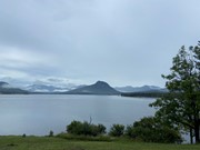
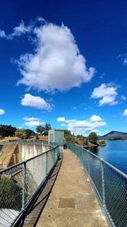
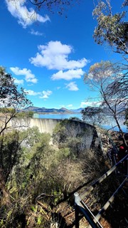
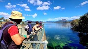
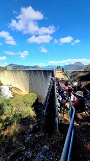
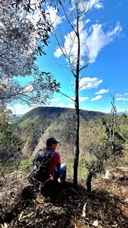
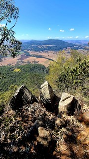
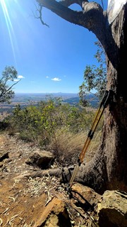
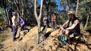
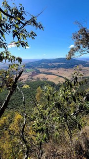
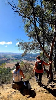
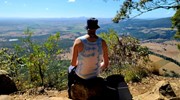
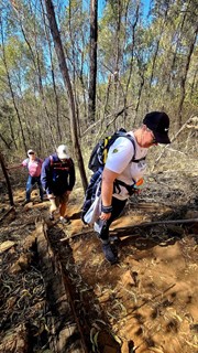
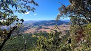
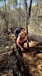
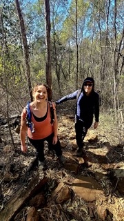
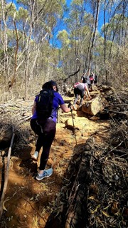
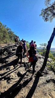
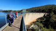
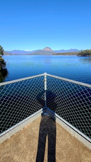
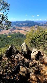
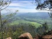
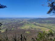
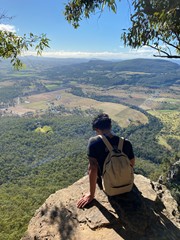
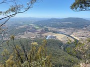
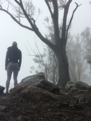
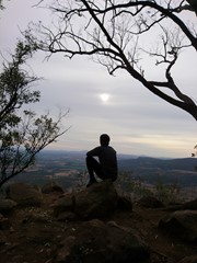
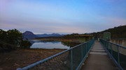
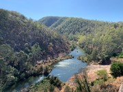
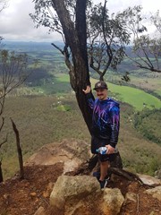
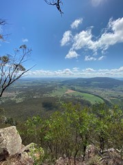
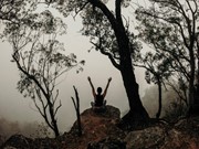
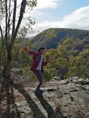
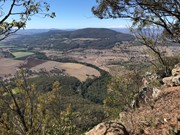
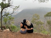
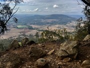
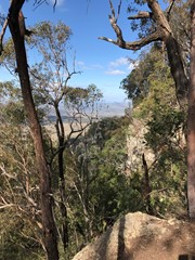
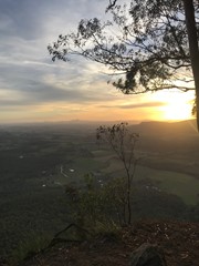
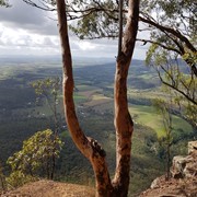
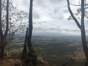
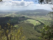
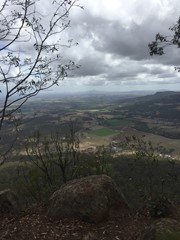
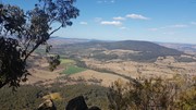
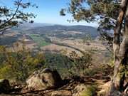
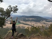
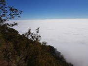
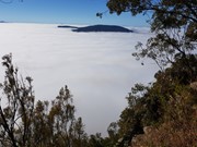
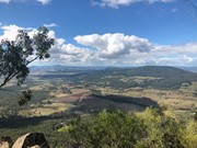
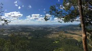
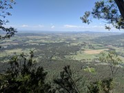
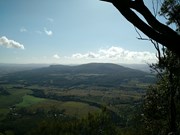
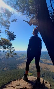
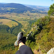
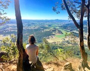
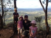
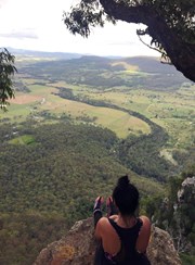
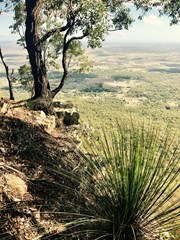
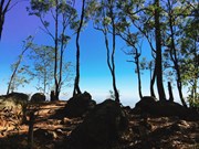
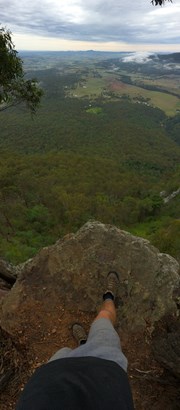
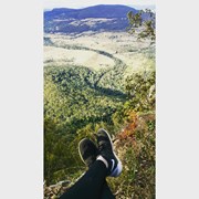
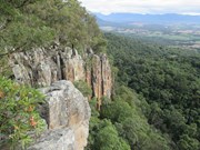
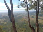
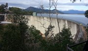
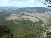
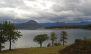
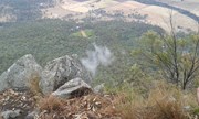
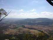
This hiking track takes you to the summit of Mt Edwards, the taller, conical-shaped peak beside Moogerah Dam. This trail crosses the dam wall then leads to the top the mountain with an elevation gain of almost 500m to really get your heart pumping. There is a lookout part-way up the track with views of Little Mt Edwards/Reynolds Creek below the dam wall, while the lookout at the summit faces north-east towards Brisbane and the Fassifern Valley.

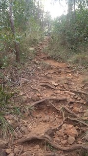
Officially listed as Grade 5/Very Hard difficulty (unsigned trail, loose/rocky surface, some tree falls/overgrown sections + steep incline), this trail is suitable for walkers with a moderate-high fitness level who are confident and well prepared (wear appropriate shoes, take plenty of water etc.).

Lookouts
Swimming
Picnic Facilities
BBQ
Toilets
Scrambling or Climbing
No Dogs Permitted
Eucalypt Forest
631m
Maximum Elevation
521m
Total Climb

Getting there

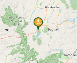
Follow the Cunningham Highway towards Aratula. Follow the signs to Moogerah Dam by turning onto Charlwood Rd, then right onto Lake Moogerah Rd. Continue for 2.7km then turn right onto Moogerah Connection Rd toward Fred Haigh Park. Park near the dam wall. Note: The roads to Moogerah Dam are sealed and suitable for 2WD, but they are also winding, busy at peak holiday times and often have water damage/livestock crossing on the road - take care.

Maps


Route/Trail notes

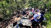
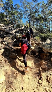
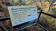
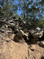
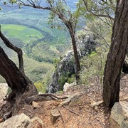
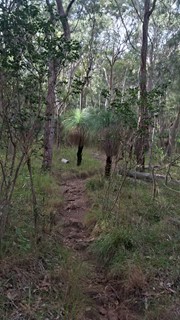
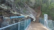
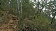
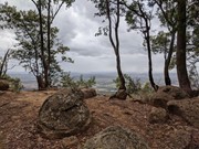
Walk across the dam wall and up a flight of steps to find the beginning of the track. The track is unsigned but well-used so it is clear to follow without a map. The hike to the summit can be divided into three parts. The first part is gradual rise to a rocky slab with good views of Little Mt Edwards and the gorge between them containing Reynolds Creek - be careful near cliff edges. The second section is steep, with larger boulders forming natural steps and lots of loose rocks so care is needed. The final stretch to the summit is a gradual rise again for about 600m, where the path may be overgrown with lantana. Once at the top you can explore left and right for different lookouts offering many vantage points (towards Brisbane - no view of the dam).

Permits/Costs

No costs required

Other References

http://www.nprsr.qld.gov.au/parks/moogerah-peaks/about.html#Mount_Edwards_summit

p244 Take a Walk in South East QLD ISBN 9780957793170

GPS Tracks

Comments

Nice early hike on good friday, perfect cool conditions for the steeper bits

J on 15 Apr, 2017

The view was stunning from the summit. Pretty easy walk but it did get a little tougher from the middle up, rocky and can get slippery when raining. Entrance from Lake Moogerah Haigh Park's dam bridge, open 5.30am to 5.30pm (some days to 6.30pm). Will climb again. Took us 2 hours return with about 30minutes spent on the summit. Highly recommended.

Anonymous on 14 Apr, 2017

Great hike. We did it in the late afternoon (would recommend early morning) and managed to complete it in a little under 3 hours. I did this hike with my 3 kids, aged 6,7 and 9 years old. Some parts were a bit challenging for little legs, with some steep sections climbing up loose rocks, a few fallen trees to go under and or over and some cliff edges to be mindful of about halfway up/down. At top the views were stunning! Although the kids were exhausted, they all loved it!

cmccall84 on 12 Apr, 2017

Great walk. I think this can be "hard" for some people. Definitely a bit above medium for me. No scrambling, just uphill quite steep in some sections. Nice views at the top but just a small area. Good training walk. 1.5 hour to go up and a bit less to go down.

Philos on 4 Mar, 2017

Went up early this morning. A nice walk - not very hard at all. Great views from the top. Watch the edge. 1:04 up and 54mins back down.

Full review here: https://juiced.blog/2017/02/27/mt-edwards/

Juiced Pixels on 25 Feb, 2017

Did this walk today, took us just over 3 hours return trip with awesome views at the top. We didn't start until about 0930 to 1000 but would recommend starting as early as possible as the heat was a bit much today. Enjoyed the walk, track is good, didn't need to use hands at all but lots of rocks to climb over and some fallen tree/branches to climb over. Would do it again.

Linda363 on 14 Dec, 2016

We tackled Mt Edwards today and boy were we greeted with some stunning views from the summit.

It took us 1hr 20mins to hike up and 1 hour to descend, pretty sure those 20mins going up were taken up with photo opportunities along the way. The climb was steep but enough to do it without walking poles, although the poles would come in handy for the descent to assist with taking pressure off the knees from what I discovered. Lots of rocky steps but not overly large so it wasn't difficult to get past them.

Note to turn back towards Lake Moogerah as you ascend a little further up from the dam wall and take in the sights from there through the gaps in the trees. The views throughout the climb are beautiful.

I would highly recommend starting the climb as early as possible (particularly during Summer) in the morning as it can be extremely hot and today's 34 degree temperatures made the climb a little more challenging than anticipated. Once we reached the summit though we were welcomed by the cool breeze coming up from the valley which was very pleasant. We had a morning snack at the summit whilst taking in the spectacular views.
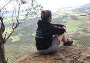
It's always lovely to be able to sit back and appreciate the views after a climb, taking it all in.

Bring swimmers for after the climb as a dip in the lake will be so refreshing after a fews on the mountain.
Seqwater has a designated swimming area which is located at A G Muller Park or Lake Moogerah Caravan Park.

I would definitely visit Mount Edwards again.


MeriNips on 6 Nov, 2016

Simple walk. 1 hour up and about 40 minutes down. The views at the top were nice but I felt that the track was rather hidden from good views for most of the walk up (bar a section about half way where there was an exposed section of rock with a good view). A good walk for beginners with at least some level of fitness. Track was well trodden and easy to follow. I was expecting something a lot steeper and challenging given the QLD government Department of National Parks, Sport and Racing have given this walk a 'Class 5' rating. (The same rating as Mount Barney and Mount Maroon)... Personally, I prefer steep and scrambling types of hikes. Will be keen to give Mt Greville a go next time I'm out this way.

Chris on Nov, 2016

Finally conquered Mt Edwards. Had tried a few years ago with several children in tow and me the only adult. Needless to say did not make it. Feeling quite tired by the end. Doing a walking lunge and squat class the day before definitely NOT recommended. Took kids (13 and 10) and they did struggle a little. We all made it in the end. Lunch at the cafe at the car park is a great motivator :-)

A sign somewhere near the top telling you how much further you have to go wouldn't go astray especially when you seem to get to the hundredth up bit (Yes I know it is only a Mount but still was a bit demoralising in places). Take plenty of water as even in "winter" it was quite warm.

Leeanne on 10 Aug, 2016

Challenging in some parts but for the most of it a moderate hike with a good view at the top. Nice little cafe back at the lake to have a meal after finishing the hike. Can be slippery in the wet so wear the appropriate footwear.

Grant on Aug, 2016

Nice gentle walk up to the summit. Track is well defined. The views are good but limited as they are only to the north and the west. The walk is suitable for children.

0zzyDave1234 on 17 Jun, 2016

Note - I don't climb mountains regularly but wouldn't consider my fitness to be too bad.
This was hard work! It's consistently steep and hard work on the knees (fair amount of irregular rock steps). My partner and I stopped regularly. Very rarely does it flatten out (mainly right near the summit).
I would recommend bringing lunch up and sitting up the top soaking in the views. It's worth the climb but make sure you head up early so it's not too hot. We started at the dam at 0630.

Gilbert on 22 May, 2016

Steep and exhausting but not too long. Very nice views! Take DEET in case of ticks, lots of overgrown vegetation.

Murray Thomson on Apr, 2016

Wouldn't like to do it in the wet. Very slick in parts. Worth the effort to take lunch and spend time enjoying the view. Be aware there are some very steep, rocky sections that aren't suitable for young children. It IS a climb, not a walk, for those thinking of taking a stroll.

Keith on 20 Mar, 2016

Fairly easy half day walk, though not much shade so take breaks as needed when done in hot weather. Pretty nice views but otherwise nothing super special. Very barefoot-friendly, though, if your feet have had some exposure to rocky/gravelley terrain. Passed a fellow barefooter heading down as I was heading up!

Anonymous on 14 Mar, 2016

Steep and challenging. Would be wiser to attempt in the cooler months! Great views around the dam.

BalticAussie on 30 Dec, 2015

Fairly steep, though short enough that it doesn't get too tiring.
Flattens out for the last km or so.

Tristan G on 23 Aug, 2015

Great climb to take the kids. Not to tuff with great views

Andy_cortina on 19 Jul, 2015

Another great workout but not difficult! Pretty views, great hike to take kids on.

kyles36 on 19 Jul, 2015

Fairly easy walk with the welcome flattening of the track as it gets near the top. Great view towards Boonah and Flinders Peak from the top

GlasshouseBW on 7 Jun, 2015

Where
Click here to load this map.

Nearby Walks

Done this walk?

This walk has been ticked 410 times

Aussie Bushwalking can keep track of your bushwalks.

Login/signup to tick this walk off.

Tick walks to keep track of where you've been. You must Login to tick walks. Accounts are 100% free so sign up if you don't have one.