
Menu
Popular Walks
-
Dove Lake Circuit
(99 ticks) -
Wineglass Bay
(85 ticks) -
Cataract Gorge
(71 ticks) -
Overland Track
(56 ticks) -
Mount Amos
(55 ticks)
Sub-Regions
- Bruny Island
- Cradle Mountain-Lake St Clair National Park
- Dip River Regional Reserve
- East Coast Tasmania
- Franklin-Gordon Wild Rivers National Park
- Freycinet National Park
- Maria Island National Park
- Mount Field National Park
- Mt Roland face walk
- Reynolds Falls Nature Recreation Area
- Southwest National Park
- Tasman National Park
- Wellington Park
- West Coast Tasmania
Summary
With 3 UNESCO sites Tasmania sure has it's fare share of walks and lookouts.
Popular Walks
-
Dove Lake Circuit
(99 ticks) -
Wineglass Bay
(85 ticks) -
Cataract Gorge
(71 ticks) -
Overland Track
(56 ticks) -
Mount Amos
(55 ticks)
Sub-Regions
- Bruny Island
- Cradle Mountain-Lake St Clair National Park
- Dip River Regional Reserve
- East Coast Tasmania
- Franklin-Gordon Wild Rivers National Park
- Freycinet National Park
- Maria Island National Park
- Mount Field National Park
- Mt Roland face walk
- Reynolds Falls Nature Recreation Area
- Southwest National Park
- Tasman National Park
- Wellington Park
- West Coast Tasmania
Other Information
UNESCO Sites
- Tasmanian Wilderness
- Macquarie Island
- Darlington Probation Station
Contact details
Tasmania Parks & Wildlife Service
http://www.parks.tas.gov.au/
Regions
...
Walks in Mount Field National Park

 1.4
km
return
1.4
km
return
 45
mins
45
mins
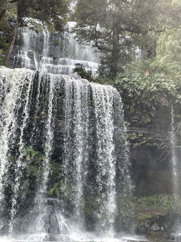
Russell Falls Loop
The short loop walk to the base of Russell Falls. At night you can spot glow worms.

 6.5
km
return
2.25
hrs
6.5
km
return
2.25
hrs
Three Falls Trail
Mt Field National Park is Tasmania's oldest and most loved NP. The park has a wide variety of scenic features and wildlife and offers a great range of facilities for visitors. Few other National Parks in Australia offer such a diversity in vegetation, ranging from tall swamp gum forests and massive tree ferns at the base of the mountain. The park essentially has two visitor sections. The first, near the park entrance, includes picnic facilities and the famous Russell Falls. Stunning walks through enormous fern forests and some of the tallest trees in the world are available in this area.
 2
km
return
40
mins
2
km
return
40
mins
King Billy Track
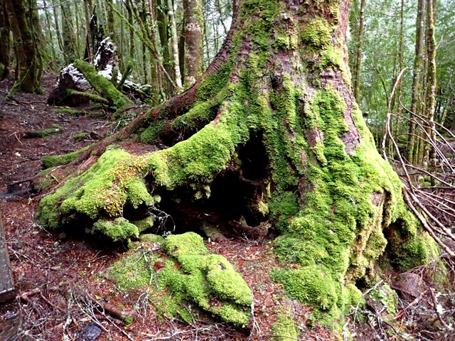
Fairly easy walk within the grounds of Cradle Mountain Lodge. Walk around through rainforest to discover King Billy Pines up to 1,500 years of age.
 1
km
return
20
mins
1
km
return
20
mins
Waldheim Forest Walk
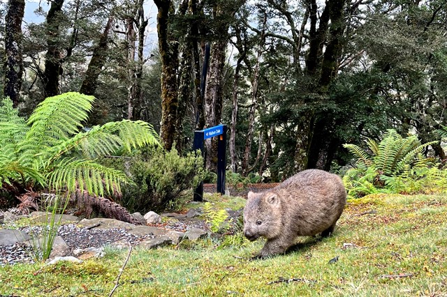
Waldheim and Weindorfers Forest Walk: a 20 minute circuit starting from the historic Waldheim Chalet. A glimpse into Gustav Weindorfers's pioneering life at Cradle can be seen at Waldheim Chalet.
Walks in Southwest National Park
300
m
return
15
mins
Creepy Crawly Nature Trail
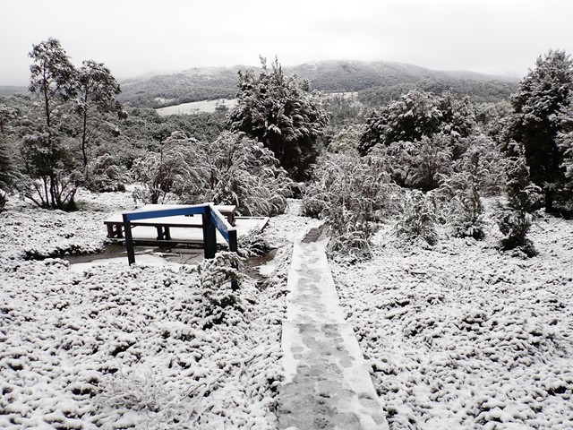
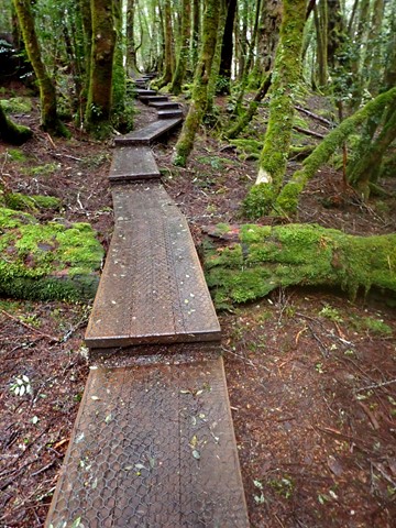
A graded boardwalk trail intentionally designed to make people apreciate some of the difficulties of moving through untracked bush eg. some trees you need to move around.
 52
km
return
3
days
52
km
return
3
days
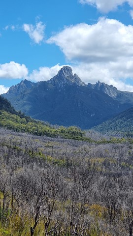
Federation Peak
Picton Road is 16km unsealed (I got a flat tyre in a Toyota Corolla doing 30km/hr) . You park just before the landslide then its around a 3km walk to Farmhouse Creek.
From where you park the car to Cutting Camp is approximately 21km/8-10hrs with around 600m elevation gain. Plenty of mud and root climbing. you will climb under and over fallen trees.
I set up camp at Cutting Camp for 2 nights. There is plenty of water from Cherry Creek alongside the camp but you must treat it as there have been giardia cases.
Day two: climb 600m and about 3-4km 3-4hrs up to Bechervaise Plateau then another approximately 3hrs return to the summit.
If the weather is bad you will not be able to summit. You will need to be comfortable on things similar to Tibrogargan Caves Route.
After the relatively easy famous traverse above Lake Geeves there is a difficult bit to climb where getting up is much easier then getting down and there is zero margin for mistakes.
(Note this information is a guide and you will need to source addition information elsewhere)
(I will refine and add to this later)
 5
km
return
2
hrs
5
km
return
2
hrs
Fishers Point Trail
Walk out to a point along the beaches with some historic ruins at the end.
14.3
km
return
6.5
hrs
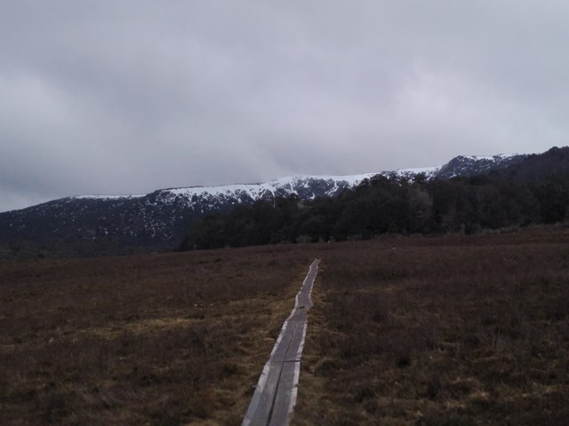
Lake Judd Track
This walk starts at the car park off Scots Peak Dam Road. It is a reasonably flat walk through a forest and then across a lot of button grass swamps, which is hard going, but the views across the swamps to Mount Anne make it enjoyable. The track itself is reasonably well marked with a few sections that require a bit of navigational skills. The final section is uphill to get to Judd Lake, but not too difficult. At the lake there is a fairly large flat area for camping next to the lake.