
Menu
Suggested searches
Your search found 115 results...

 1.2
km
return
1.2
km
return
 30
mins
30
mins
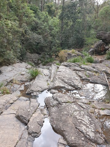
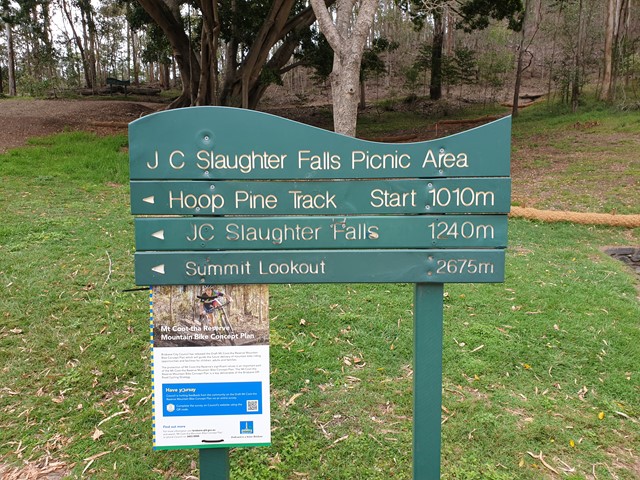
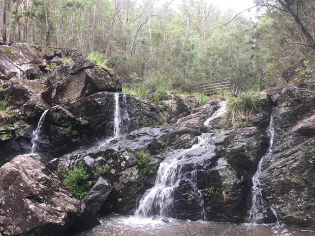
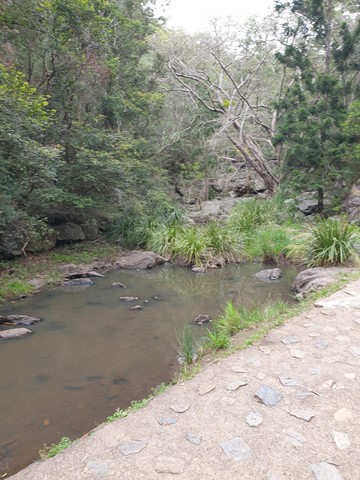
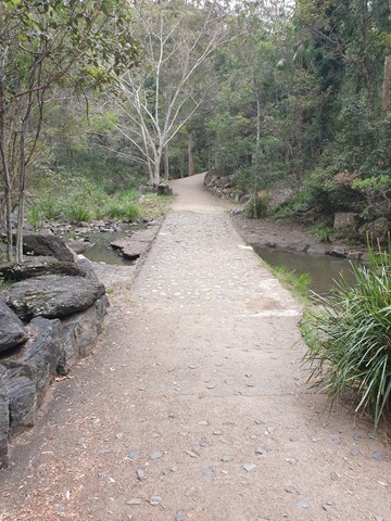
JC Slaughter Falls
Mt. Coot-tha
The walk begins at the far end of the JC Slaughter Falls Picnic area and follows for about 600m way one. Only about 200m on the walk has a steep rocky incline but it isn't very difficult. The falls are non-existent unless there has been some rain.
 2
km
one-way
30
mins
2
km
one-way
30
mins
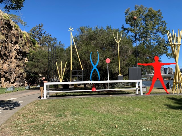
The Cliffs Boardwalk
Brisbane City Council Local Walks
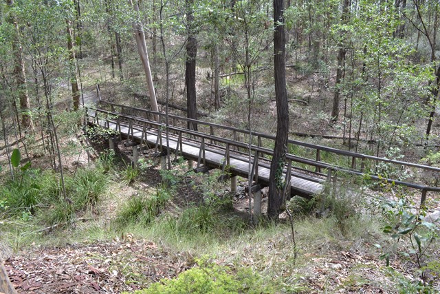
The area between the cliff face and the river, called The Cliffs Boardwalk, has been beautifully landscaped with walkways, including a boardwalk through the mangroves, barbecues, picnic areas and gardens.
Scattered along the walk are colourful artworks that were originally commissioned for the riverside promenade at World Expo 88 at nearby Southbank.
 2.6
km
one-way
40
mins
2.6
km
one-way
40
mins
Mahogany Trail
Mt. Coot-tha
An alternate track to the Summit Trail at Mt Cootha Brisbane that is shared with bikes and horse riders
 4
km
return
1
hr
4
km
return
1
hr
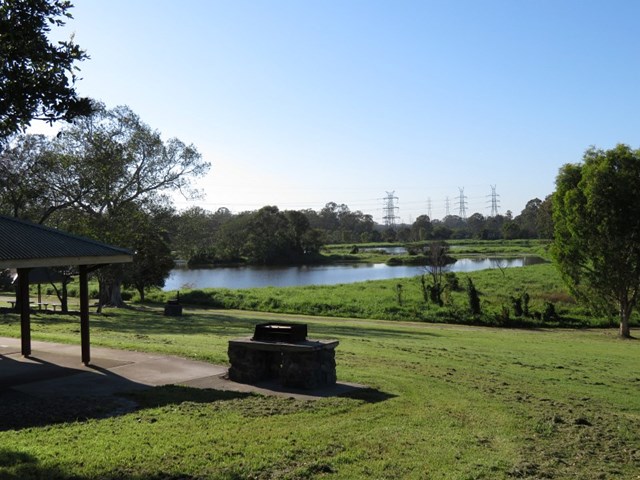
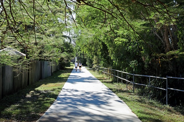
Minnippi Parkland Circuit
Brisbane City Council Local Walks
These beautiful lush hectares of meadowland in the centre of Brisbane’s east have at their heart one of the rare surviving lagoons from pre-settlement days when low lying areas around the city fringes featured hundreds of them.
 1
km
return
20
mins
1
km
return
20
mins
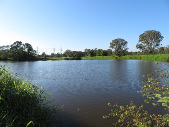
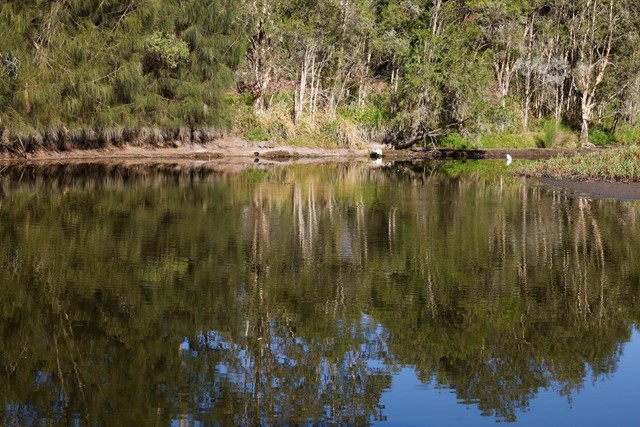
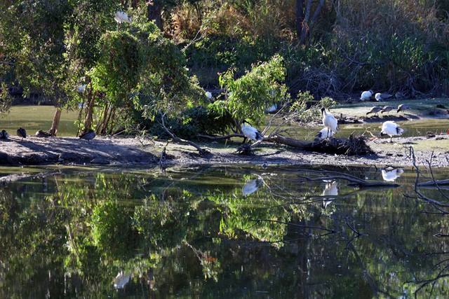
Bowie Flats Wetlands
Brisbane City Council Local Walks
Located in the Suburb of Coorparoo there is a little hidden treasure to walk around. Take a look.
Have a look at the Video.
http://www.youtube.com/watch?v=QmQ77iMVHeY
 6
km
return
90
mins
6
km
return
90
mins
Bellbird trail, Kokoda trail, Jacksonia trail circuit from Gap Creek Reserve
Mt. Coot-tha
Bellbird Trail, Kokoda Trail up to top of hill and then back down Jacksonia Track- steep climb up to top of Mt C
5.3
km
return
75
mins
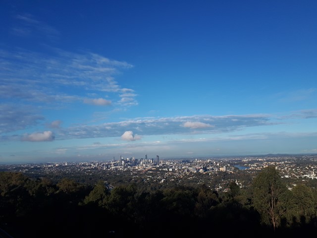
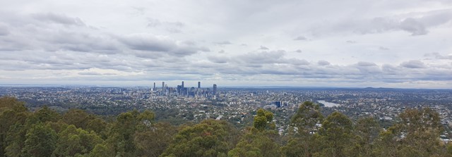
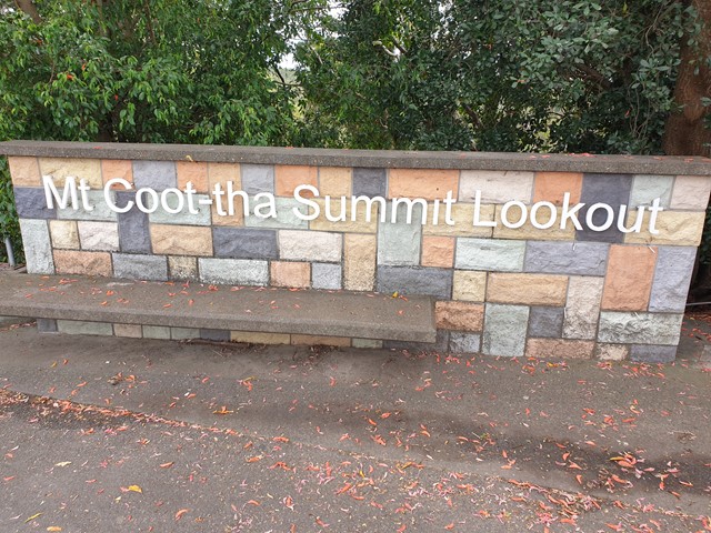
Mt. Coot-tha Summit Track
Mt. Coot-tha
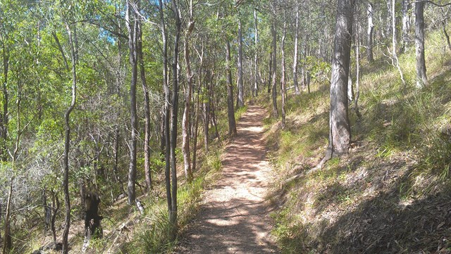
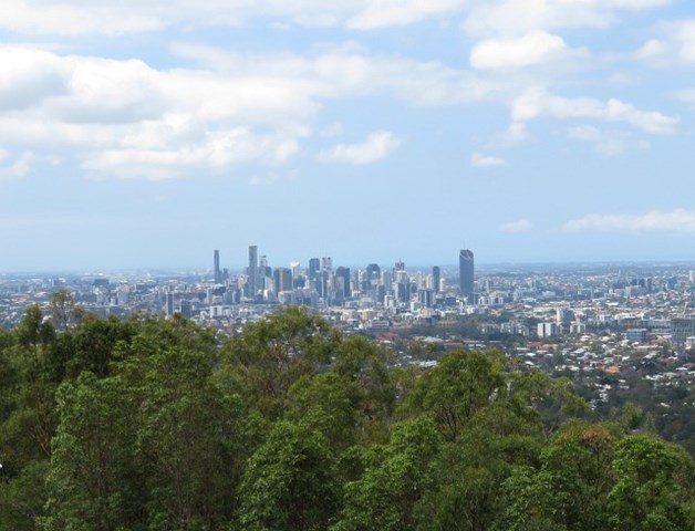
Mt Coot-tha Lookout has sweeping views of Brisbane City, Moreton Bay, and around to the Tweed Volcano, Main Range and Mount Barney and Flinders Peak. The walk to this lookout, from JC Slaughter Falls Picnic Area, is a potentially slightly testing but generally easy walk on a paved track that straddles a gully.
 5.3
km
return
1
hr
5.3
km
return
1
hr
Litchfield Track
Mt. Coot-tha
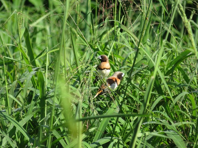
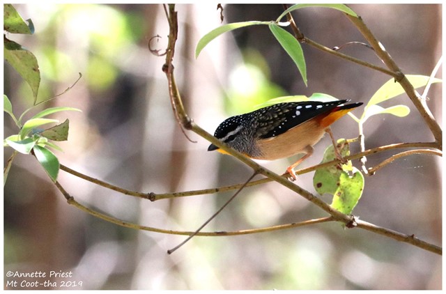
This track is 2.5km one way and is graded as moderate by Brisbane City Council and is well maintained but can have lose stones. The track winds through bushland parallel with the road and is easy to traverse. You will see a variety of Australian native plants and birds. A variety of people, at different stages of trail walking ability, use this track including trail runners.
 4.2
km
return
90
mins
4.2
km
return
90
mins
Honeyeater Track
Mt. Coot-tha
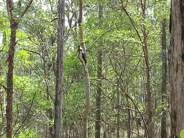
An interesting walk from near Mt Cootha summit down to Fleming Rd, the Environmental centre and back up to the start via Chapel Hill Rd Trail. You will see plenty of water dragons, butterflies and birdlife.
 10
km
one-way
3
hrs
10
km
one-way
3
hrs
Gap Creek to Mt Coot-tha Botanic Gardens
Mt. Coot-tha
This walk will use several tracks in the Mount Coot-tha area to take you from Gap Creek to Mt Coot-tha Botanic Gardens