
Menu
Popular Walks
-
Mt Ngungun
(1120 ticks) -
Mount Coolum
(849 ticks) -
Mt Cordeaux
(646 ticks) -
Twin Falls Circuit
(614 ticks) -
Purling Brook Falls Circuit
(593 ticks)
Parent Regions
Sub-Regions
- Amamoor State Forest
- Bellthorpe National Park
- Brisbane City Council Local Walks
- Brisbane Forest park D'Aguilar National Park
- Brisbane Valley Rail Trail
- Coombabah Lakelands Conservation Area
- Daisy Hill Conservation Park
- Eumundi Conservation Park
- Glass House Mountains National Park
- Glen Rock Regional Park
- Gold Coast
- Ipswich
- Jimna State Forest
- Karawatha Forest
- Kondalilla National Park
- Lamington National Park
- Main Range National Park
- Mapleton National Park
- Moggill Conservation Park
- Moogerah Peaks National Park
- Moreton Island National Park
- Mt Barney National Park
- North Stradbroke Island - Minjeeribah
- Parklands Conservation Park
- Springbrook National Park
- Sunshine Coast
- Tamborine National Park
- White Rock - Spring Mountain Conservation Estate
Summary
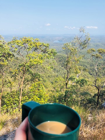
Boarding NSW and the pacific Ocean, it is not uncommon for hikes to have views of both worlds (ocean and hinterland). Hikes here are typically on the great dividing range.
Popular Walks
-
Mt Ngungun
(1120 ticks) -
Mount Coolum
(849 ticks) -
Mt Cordeaux
(646 ticks) -
Twin Falls Circuit
(614 ticks) -
Purling Brook Falls Circuit
(593 ticks)
Parent Regions
Sub-Regions
- Amamoor State Forest
- Bellthorpe National Park
- Brisbane City Council Local Walks
- Brisbane Forest park D'Aguilar National Park
- Brisbane Valley Rail Trail
- Coombabah Lakelands Conservation Area
- Daisy Hill Conservation Park
- Eumundi Conservation Park
- Glass House Mountains National Park
- Glen Rock Regional Park
- Gold Coast
- Ipswich
- Jimna State Forest
- Karawatha Forest
- Kondalilla National Park
- Lamington National Park
- Main Range National Park
- Mapleton National Park
- Moggill Conservation Park
- Moogerah Peaks National Park
- Moreton Island National Park
- Mt Barney National Park
- North Stradbroke Island - Minjeeribah
- Parklands Conservation Park
- Springbrook National Park
- Sunshine Coast
- Tamborine National Park
- White Rock - Spring Mountain Conservation Estate
History
Any interesting history for the region?
Features
What are the standout bushwalking features?
Access
How do you get there? Include all access points if there are many?
Maps
Which maps cover the region?
Accommodation
Where can I stay there? or near there?
Camping
Council Areas:
- Scenic Rim Regional
- Gold Coast City
- Logan City
- Redland City
- Ipswich City
- Lockyer Valley Regional
- Brisbane City
- Somerset Regional
- Moreton Bay Regional
- Sunshine Coast Regional
- Noosa Shire
Contact details
See Qld National parks website

 4.3
km
return
4.3
km
return
 2
hrs
2
hrs
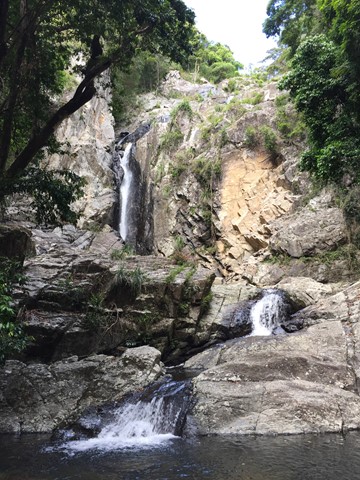
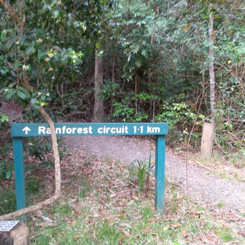
Greenes Falls via Rainforest Circuit + Cypress Grove Circuit
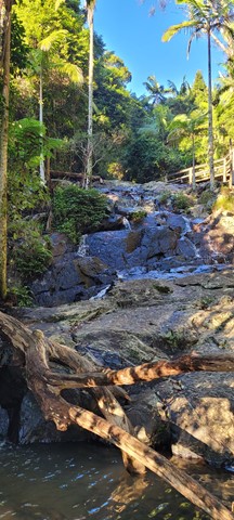
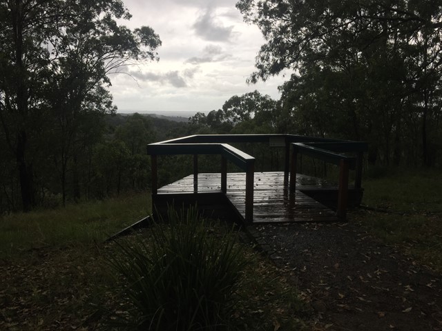
Greenes Falls Track is one of three connected walks, comprising of the Rainforest Circuit (2km return), Greenes Falls Track (+2.2km return) and the optional add-on of Cypress Grove Circuit (+500m), making a total walking distance of 4.7km. The small but beautiful trail network includes several boardwalk sections and sets of stairs, passing over rainforest pools and ending at a lookout above Greenes Falls. Be prepared for an uphill walk on the return trip. Parking is available at Maiala car park.
 2.5
km
one-way
90
mins
2.5
km
one-way
90
mins
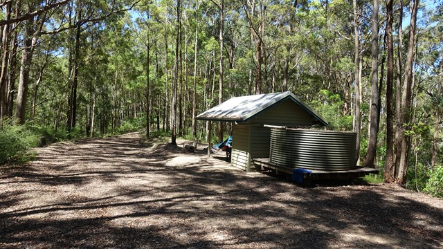
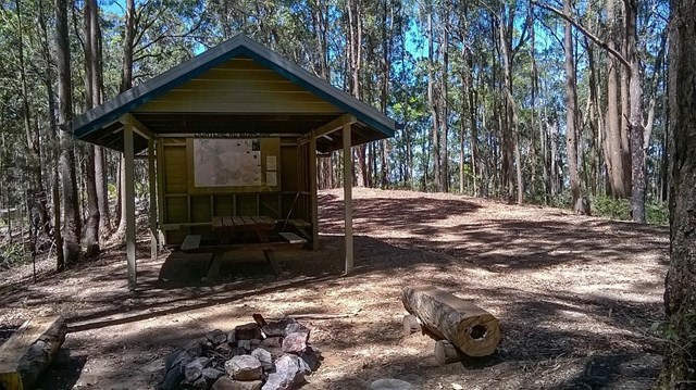
Lepidozamia Remote Bush Camp
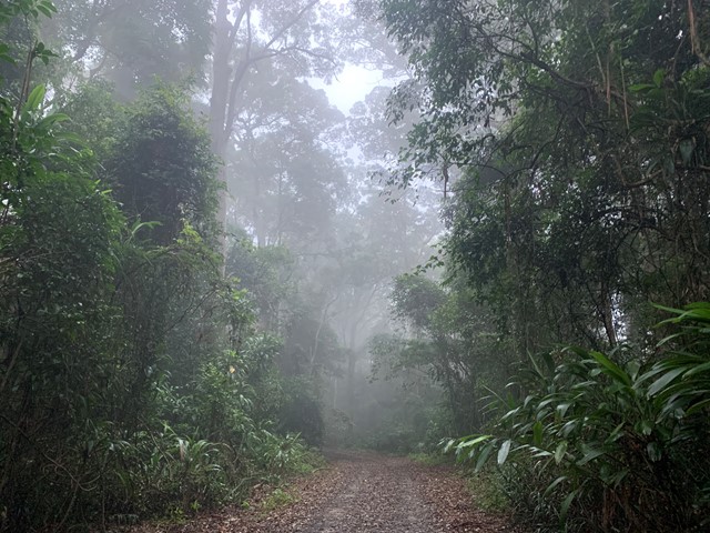
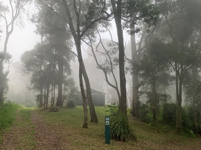
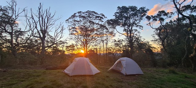
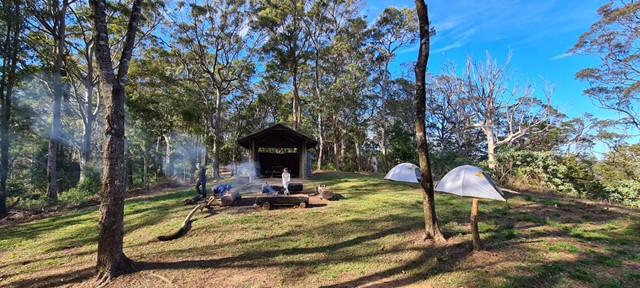
A pleasant 2.5km walk along a well maintained access track through rainforest and wet eucalypt forest leading to a spacious, well equipped remote campsite. The campsite offers a hut with benches and a picnic table, two large water tanks, and seating around a fire pit. There are sunset views over the range when looking to the west and, to the east, you can enjoy views of the sunrise, Moreton Bay, and Brisbane lights at night. If you’re lucky you will also see the fireflies flitting around the camp.
3.6
km
3.5
hrs
Light Line bush camp walk
Remote bush camping in open eucalypt woodland surrounded by bloodwoods, grey gums and tallowwoods. The uncommon shrub, Goodenia ovata, shows off its yellow flowers in spring and autumn along the road edge on the walk in.
9.14
km
return
3
hrs
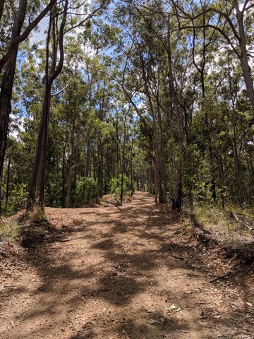
Light Line Rd Kholo to Mermaid Mountain
Amazing walk worth the views. This is the shortest and most direct route to get to the lookout.
1
km
return
30
mins
Lophostemon Walk
A short circular stroll following and crossing Neurum Creek.
4.7
km
return
3
hrs
Love Creek Falls
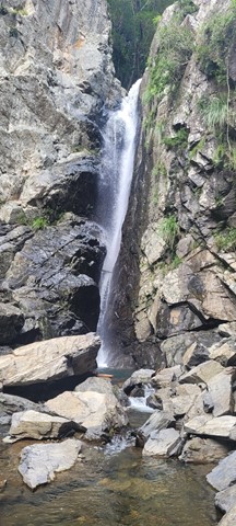
Rock hop up Cedar Creek past Cedar Falls and take the right turn onto Love Creek then follow it to Love Creek Falls.

 18
km
return
5
hrs
18
km
return
5
hrs
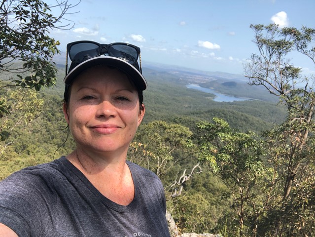
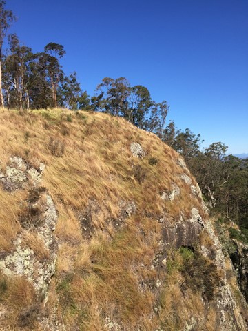
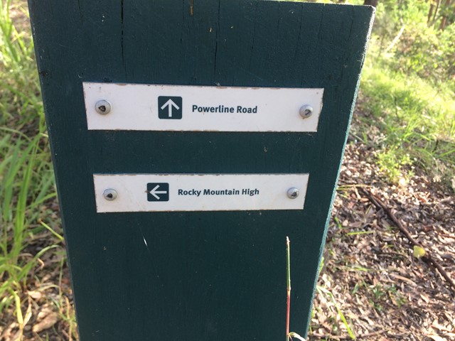
Mermaid Mountain
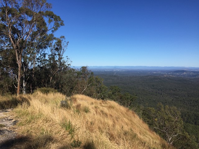
Bush walk from Mt Crosby (town) to Mermaid mountain in Brisbane Forest Park. Lots of uphill tracks and great view of Lake Manchester and surrounding hills from the top.
Entrance for walk from Wirrabara Road, which is off Mount Crosby Road.
Start on the Powerline Road firetrail then turn left onto Rocky Mountain High Break. After about 9kms you will reach the view!
Finally, return to Wirrabara Road via the same path in reverse.
 10
km
5
hrs
10
km
5
hrs
Middle Kobble bush camp walk
Remote bush camping in an open grassy area next to Kobble Creek, in the remote northern section of the park. A short walk takes you to the top of the Kobble Creek waterfall. Keep an eye out for the prehistoric-looking Lepidozamia (cycads) on your walk to the bush camp. Skinks and keelbacks (freshwater snakes) can be seen basking on the rocks at the top of Kobble Creek waterfall. Bottlebrush plants flower along the creek beside the bush camp in spring.
 1.3
km
return
1
hr
1.3
km
return
1
hr
Mill Rainforest Walk
Part of the Mt Mee section of the D'Arguilar National Park.
This subtropical rainforest track provides great opportunities for birdwatching. The track entrance is accessed by a short unsealed formed gravel road