
Menu
Popular Walks
-
Dove Lake Circuit
(102 ticks) -
Wineglass Bay
(86 ticks) -
Cataract Gorge
(73 ticks) -
Overland Track
(59 ticks) -
Mount Amos
(55 ticks)
Sub-Regions
- Bruny Island
- Cradle Mountain-Lake St Clair National Park
- Dip River Regional Reserve
- East Coast Tasmania
- Franklin-Gordon Wild Rivers National Park
- Freycinet National Park
- Maria Island National Park
- Mount Field National Park
- Mt Roland face walk
- Reynolds Falls Nature Recreation Area
- Southwest National Park
- Tasman National Park
- Wellington Park
- West Coast Tasmania
Summary
With 3 UNESCO sites Tasmania sure has it's fare share of walks and lookouts.
Popular Walks
-
Dove Lake Circuit
(102 ticks) -
Wineglass Bay
(86 ticks) -
Cataract Gorge
(73 ticks) -
Overland Track
(59 ticks) -
Mount Amos
(55 ticks)
Sub-Regions
- Bruny Island
- Cradle Mountain-Lake St Clair National Park
- Dip River Regional Reserve
- East Coast Tasmania
- Franklin-Gordon Wild Rivers National Park
- Freycinet National Park
- Maria Island National Park
- Mount Field National Park
- Mt Roland face walk
- Reynolds Falls Nature Recreation Area
- Southwest National Park
- Tasman National Park
- Wellington Park
- West Coast Tasmania
Other Information
UNESCO Sites
- Tasmanian Wilderness
- Macquarie Island
- Darlington Probation Station
Contact details
Tasmania Parks & Wildlife Service
http://www.parks.tas.gov.au/
Regions
...


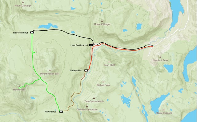
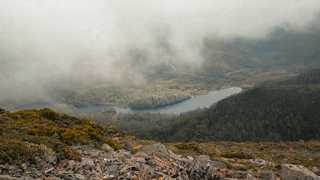
Little Hugel
A panoramic view of Lake St Clair, Mt Olympus, Mt Byron and Mt Hugel from the top of a rocky peak. A lesser-walked track but one that combines great views with some alpine lakes and rainforest areas.
 7.5
km
return
3
hrs
7.5
km
return
3
hrs
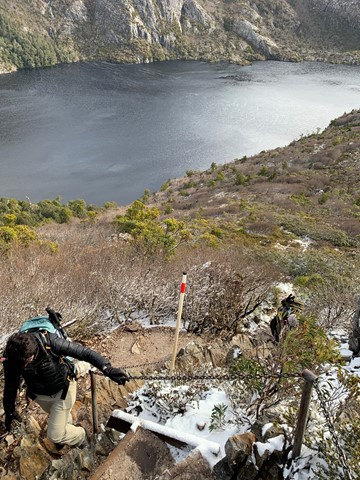
Marions Lookout
High on the western side of Dove Lake, Marions Lookout provides breathtaking views to Cradle Mountain and over Dove Lake and Crater Lake.
 4.5
km
return
2
hrs
4.5
km
return
2
hrs
Mount Campbell
A short but steep walk to a broad summit with uninterrupted 360 degree views of the area.
11.4
km
return
4
hrs
Mount Oakleigh
To reach the true summit of Mount Oakleigh an 11.4km side trail is required although the first East peak can be optained via a 7.8km return hike or a 9.8km return hike can be made to the commonly obtained false peak which places you above the famous Oakleigh spires.
2.4
km
return
2
hrs
Mount Pelion East
The far more civilised Pelion is still a worthy walk offering a lot of bang for buck. A short side trail leads sharply up the shoulder from Pelion Gap before a short little scramble up the nunatak summit.
 5.3
km
return
4
hrs
5.3
km
return
4
hrs
Mount Pelion West
A side trail from the Overland Track that isn't listed as an offical side trail due to the extreme nature of the undertaking. This is Tasmania's 3rd highest mountain and is a substantial undertaking. The trail isn't as evident as the official side trails and once onto the summit ridge the scramble to the summit involves large chasms between boulders.
5
km
return
5
hrs
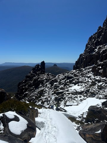
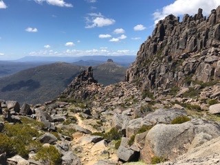
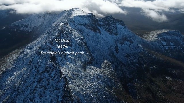
Mt Ossa Climb
A great climb of Tasmania's tallest Mountain in the beautiful Tasmanian Alpine region.
The return climb itself takes about 5 hours. For about the first 70%, the trail is a moderate upslope with steel and wooden boardwalks which evolves into a laid stone pathway. The last 30% becomes a fairly steep rock and bolder climb. In dry conditions even walkers of low fitness/experience can make this difficult climb. If its raining or snowing I would suggest novice climbers travel with someone with experience or wait until conditions improve. Getting to the base of this climb is the greatest challenge which is explained bellow.
 18
km
return
7
hrs
18
km
return
7
hrs
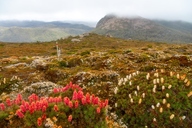
Mt Rufus
Climbs up from Lake St Clair to Mt Rufus, which provides sweeping views over Lake St Clair, Mt Olympus, Frenchmans Cap and the headwaters of the Franklin River. You can return the same way, or do a circuit which takes you back past Shadow Lake (a large alpine tarn). Incredible displays of flowering heath (scoparia) in summer. A well marked track with boardwalks in sections.
 18
km
one-way
6
hrs
18
km
one-way
6
hrs
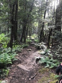
Narcissus Hut to Cynthia Bay (Lakeside Walk)
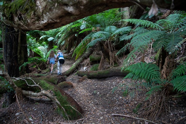
The hike from Narcissus Hut to Cynthia Bay along Lake St Clair (also referred to the Lakeside Walk) is the last – or first! – section of the Overland Track, and also makes a pleasant day walk. It's not the most interesting walk you can do, but does traverse long sections of temperate rainforest.
 1
km
return
1
hr
1
km
return
1
hr
Old Pelion Hut
A short side trail to an historic hut. There is also an old copper mine and Douglas Creek just past the hut.